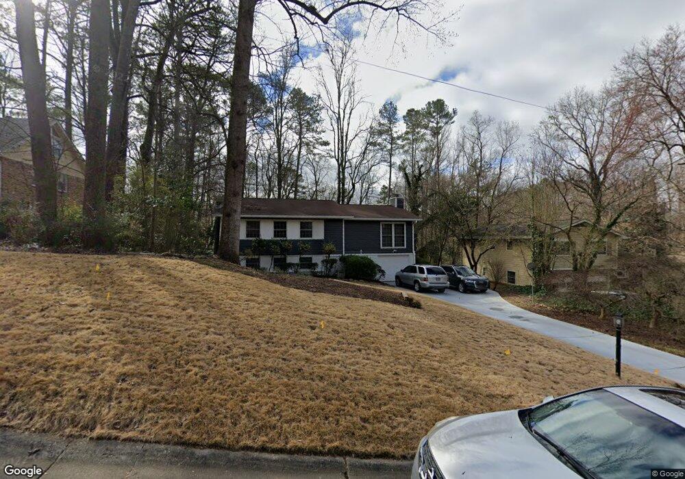
1985 Afond Ct Unit 6 Atlanta, GA 30341
Estimated Value: $609,000 - $679,000
3
Beds
2
Baths
1,883
Sq Ft
$340/Sq Ft
Est. Value
About This Home
This home is located at 1985 Afond Ct Unit 6, Atlanta, GA 30341 and is currently estimated at $640,284, approximately $340 per square foot. 1985 Afond Ct Unit 6 is a home located in DeKalb County with nearby schools including Huntley Hills Elementary School, Chamblee Middle School, and Chamblee Charter High School.
Ownership History
Date
Name
Owned For
Owner Type
Purchase Details
Closed on
Nov 23, 1993
Sold by
Derossett Don
Bought by
Pope Lawrence L and High Jacqueline
Current Estimated Value
Home Financials for this Owner
Home Financials are based on the most recent Mortgage that was taken out on this home.
Original Mortgage
$121,400
Interest Rate
7.14%
Purchase Details
Closed on
Jul 6, 1993
Sold by
Epstein Philipp L
Bought by
Derossett Don
Create a Home Valuation Report for This Property
The Home Valuation Report is an in-depth analysis detailing your home's value as well as a comparison with similar homes in the area
Home Values in the Area
Average Home Value in this Area
Purchase History
| Date | Buyer | Sale Price | Title Company |
|---|---|---|---|
| Pope Lawrence L | $127,800 | -- | |
| Derossett Don | $93,000 | -- |
Source: Public Records
Mortgage History
| Date | Status | Borrower | Loan Amount |
|---|---|---|---|
| Closed | Pope Lawrence L | $121,400 |
Source: Public Records
Tax History Compared to Growth
Tax History
| Year | Tax Paid | Tax Assessment Tax Assessment Total Assessment is a certain percentage of the fair market value that is determined by local assessors to be the total taxable value of land and additions on the property. | Land | Improvement |
|---|---|---|---|---|
| 2024 | $7,224 | $229,200 | $88,400 | $140,800 |
| 2023 | $7,224 | $214,880 | $88,400 | $126,480 |
| 2022 | $4,183 | $133,640 | $88,400 | $45,240 |
| 2021 | $3,412 | $113,520 | $73,640 | $39,880 |
| 2020 | $3,290 | $107,440 | $62,400 | $45,040 |
| 2019 | $3,430 | $109,480 | $62,400 | $47,080 |
| 2018 | $3,597 | $104,760 | $62,400 | $42,360 |
| 2017 | $3,581 | $101,600 | $47,200 | $54,400 |
| 2016 | $3,593 | $104,480 | $47,200 | $57,280 |
| 2014 | $3,311 | $94,760 | $47,200 | $47,560 |
Source: Public Records
Map
Nearby Homes
- 1991 Plantation Ln
- 2019 Ellwyn Dr
- 3932 Calm Ct
- 4011 Chamblee Dunwoody Rd
- 1917 Repose Dr
- 1919 Repose Dr
- 1995 Catnap Ct
- 2069 Gramercy Cir
- 3998 Commodore Dr
- 1967 Commodore Ln
- 3807 Greenhill Dr
- 3838 Longview Dr
- 4100 D Youville Trace
- 3764 Ensign Dr
- 3990 Admiral Dr
- 3821 Chamblee Dunwoody Rd
- 2264 Seaman Cir
- 1991 Afond Ct Unit 6
- 1979 Afond Ct
- 1997 Afond Ct
- 1980 Ellwyn Dr Unit 6
- 1973 Afond Ct
- 1978 Afond Ct
- 1992 Afond Ct
- 1984 Afond Ct
- 2003 Afond Ct
- 1986 Ellwyn Dr
- 1972 Afond Ct
- 2002 Afond Ct Unit 6
- 1975 Ellwyn Dr
- 3935 Ensign Ct
- 2009 Afond Ct
- 2012 Afond Ct
- 3923 Ensign Ct
- 3929 Ensign Ct
- 1994 Ellwyn Dr
- 3911 Ensign Ct