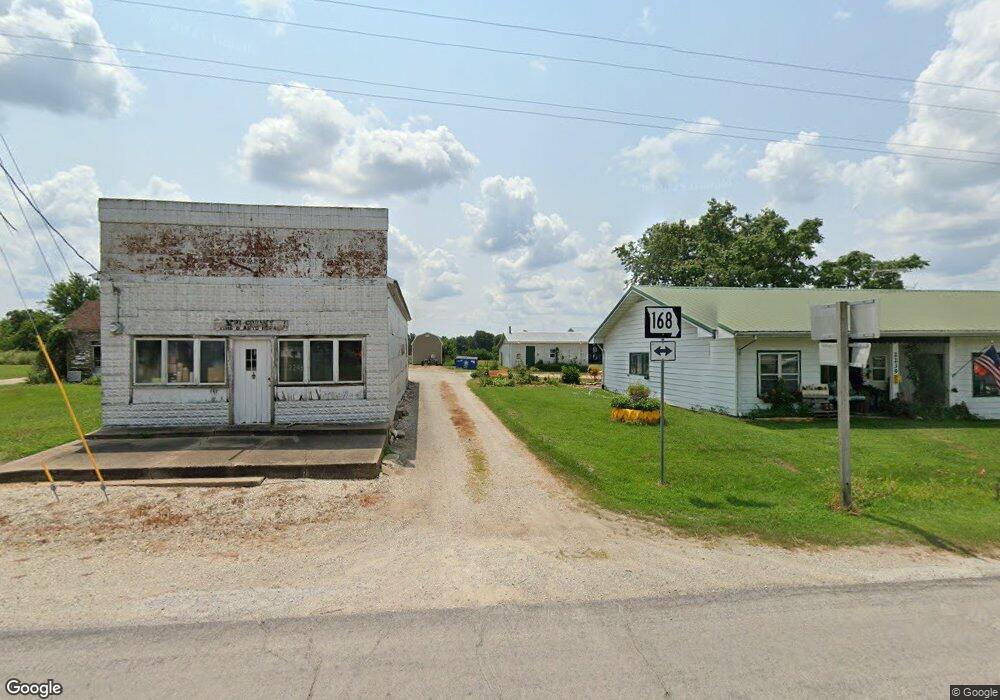
1985 Highway J Philadelphia, MO 63463
Estimated Value: $205,000 - $267,685
2
Beds
1
Bath
1,416
Sq Ft
$160/Sq Ft
Est. Value
About This Home
This home is located at 1985 Highway J, Philadelphia, MO 63463 and is currently estimated at $226,895, approximately $160 per square foot. 1985 Highway J is a home with nearby schools including Marion County Elementary School and Marion County High School.
Ownership History
Date
Name
Owned For
Owner Type
Purchase Details
Closed on
Mar 27, 2013
Sold by
Carroll Duane and Carroll Denise
Bought by
Carroll David W and Revocable Living Trust Agreement Of Davi
Current Estimated Value
Purchase Details
Closed on
Nov 6, 2006
Sold by
Plunkett Clarence J and Plunkett Mary A
Bought by
Plunkett Clarence J and Plunkett Mary A
Create a Home Valuation Report for This Property
The Home Valuation Report is an in-depth analysis detailing your home's value as well as a comparison with similar homes in the area
Home Values in the Area
Average Home Value in this Area
Purchase History
| Date | Buyer | Sale Price | Title Company |
|---|---|---|---|
| Carroll David W | -- | None Available | |
| Plunkett Clarence J | -- | None Available |
Source: Public Records
Tax History Compared to Growth
Tax History
| Year | Tax Paid | Tax Assessment Tax Assessment Total Assessment is a certain percentage of the fair market value that is determined by local assessors to be the total taxable value of land and additions on the property. | Land | Improvement |
|---|---|---|---|---|
| 2024 | $1,282 | $25,020 | $4,660 | $20,360 |
| 2023 | $1,285 | $25,020 | $4,660 | $20,360 |
| 2022 | $1,278 | $25,020 | $4,660 | $20,360 |
| 2021 | $1,268 | $25,020 | $4,660 | $20,360 |
| 2020 | $1,200 | $22,750 | $4,240 | $18,510 |
| 2019 | $1,181 | $22,750 | $4,240 | $18,510 |
| 2018 | $1,091 | $20,730 | $1,600 | $19,130 |
| 2017 | $1,092 | $20,730 | $1,600 | $19,130 |
| 2015 | $1,067 | $20,730 | $1,600 | $19,130 |
| 2014 | $1,067 | $20,280 | $1,600 | $18,680 |
| 2012 | -- | $20,270 | $0 | $0 |
Source: Public Records
Map
Nearby Homes
- 3181 Highway P
- 4406 County Road 112
- 29276 252nd Ave
- 0 Highway W - Shelby County Unit MIS24073416
- 000 Highway W
- Lot 19 Black Oak Rd
- Lot 20 Black Oak Rd
- Lot 16 Black Oak Rd
- Lot 17 Black Oak Rd
- Lot 23 Red Oak Rd
- Lot 1 Red Oak Rd
- Lot 22 Red Oak Rd
- Lot 21 Red Oak Rd
- Lot 24 Red Oak Rd
- 13 Red Oak Rd
- 25380 Main St
- 4996 Highway U
- 8211 Cr 170
- 5414 County Road 150
- 3215 Timber Ridge Rd