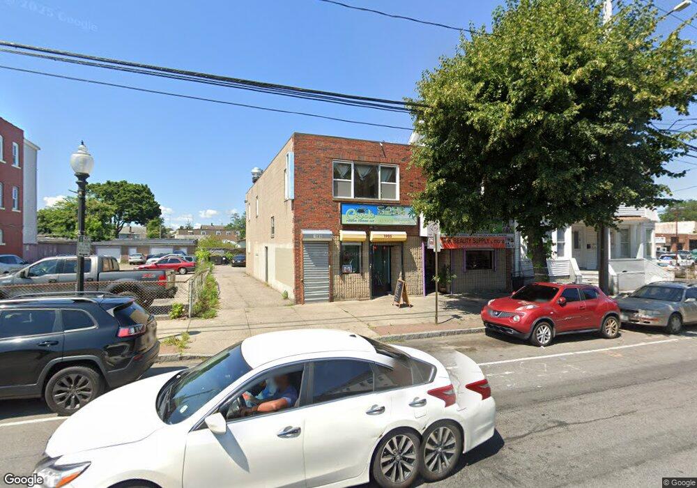
1985 Main St Bridgeport, CT 06604
The Hollow NeighborhoodEstimated Value: $505,878
--
Bed
--
Bath
4,176
Sq Ft
$121/Sq Ft
Est. Value
About This Home
This home is located at 1985 Main St, Bridgeport, CT 06604 and is currently estimated at $505,878, approximately $121 per square foot. 1985 Main St is a home located in Fairfield County with nearby schools including Bassick High School, Capital Prep Harbor Upper School, and Park City Prep Charter School.
Ownership History
Date
Name
Owned For
Owner Type
Purchase Details
Closed on
May 17, 1999
Sold by
1985 Main Street Llc
Bought by
Veillard Sonya
Current Estimated Value
Home Financials for this Owner
Home Financials are based on the most recent Mortgage that was taken out on this home.
Original Mortgage
$113,750
Interest Rate
10.75%
Mortgage Type
Commercial
Purchase Details
Closed on
Jul 1, 1998
Sold by
Atlantis Const Inc
Bought by
1985 Main St Llc
Purchase Details
Closed on
Dec 29, 1995
Sold by
J & L Ent
Bought by
Atlantis Constr Inc
Create a Home Valuation Report for This Property
The Home Valuation Report is an in-depth analysis detailing your home's value as well as a comparison with similar homes in the area
Home Values in the Area
Average Home Value in this Area
Purchase History
| Date | Buyer | Sale Price | Title Company |
|---|---|---|---|
| Veillard Sonya | $175,000 | -- | |
| Veillard Sonya | $175,000 | -- | |
| 1985 Main St Llc | $140,000 | -- | |
| 1985 Main St Llc | $140,000 | -- | |
| Atlantis Constr Inc | $120,000 | -- | |
| Atlantis Constr Inc | $120,000 | -- |
Source: Public Records
Mortgage History
| Date | Status | Borrower | Loan Amount |
|---|---|---|---|
| Open | Atlantis Constr Inc | $155,000 | |
| Closed | Atlantis Constr Inc | $113,750 |
Source: Public Records
Tax History Compared to Growth
Tax History
| Year | Tax Paid | Tax Assessment Tax Assessment Total Assessment is a certain percentage of the fair market value that is determined by local assessors to be the total taxable value of land and additions on the property. | Land | Improvement |
|---|---|---|---|---|
| 2025 | $8,506 | $195,770 | $86,180 | $109,590 |
| 2024 | $8,506 | $195,770 | $86,180 | $109,590 |
| 2023 | $8,506 | $195,770 | $86,180 | $109,590 |
| 2022 | $8,506 | $195,770 | $86,180 | $109,590 |
| 2021 | $8,506 | $195,770 | $86,180 | $109,590 |
| 2020 | $10,088 | $186,850 | $70,580 | $116,270 |
| 2019 | $10,088 | $186,850 | $70,580 | $116,270 |
| 2018 | $10,159 | $186,850 | $70,580 | $116,270 |
| 2017 | $10,159 | $186,850 | $70,580 | $116,270 |
| 2016 | $10,159 | $186,850 | $70,580 | $116,270 |
| 2015 | $9,227 | $218,660 | $84,700 | $133,960 |
| 2014 | $9,227 | $218,660 | $84,700 | $133,960 |
Source: Public Records
Map
Nearby Homes
- 90 Tom Thumb St
- 78 Fairmount Ave
- 76 Porter St
- 318 Center St
- 191 Oak St
- 2395 Main St Unit 2397
- 31 Taft Ave
- 390 Charles St Unit 106
- 183 Calhoun Ave
- 139 Highland Ave Unit 143
- 724 Capitol Ave Unit 726
- 152 River St
- 75 Sanford Ave
- 289 Harriet St
- 330 French St
- 5 William Place
- 39 Jane St
- 40 Jane St
- 604 William St
- 79 William St
- 1985 Main St Unit 1989
- 1997 Main St
- 1971 Main St
- 1969 Main St
- 35 Goodsell St
- 1963 Main St
- 1992 Main St
- 47 Goodsell St
- 28 Goodsell St
- 2014 Main St Unit 22
- 2014 Main St Unit 23
- 2027 Main St
- 2012 Main St Unit 3
- 2012 Main St Unit 1
- 160 Hurd Ave
- 2036 Main St Unit C
- 2036 Main St Unit F
- 119 Thompson St
- 2040 Main St
- 93 Commercial St Unit 95