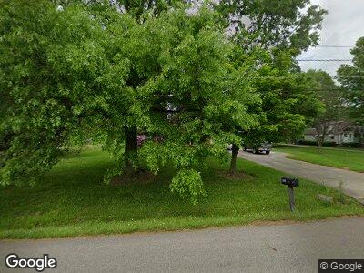
1985 Mcgowan Rd Norton, OH 44203
North Barberton NeighborhoodEstimated Value: $187,034 - $289,000
3
Beds
2
Baths
1,547
Sq Ft
$145/Sq Ft
Est. Value
About This Home
This home is located at 1985 Mcgowan Rd, Norton, OH 44203 and is currently estimated at $224,759, approximately $145 per square foot. 1985 Mcgowan Rd is a home located in Summit County with nearby schools including Norton Primary Elementary School, Norton Middle School, and Norton High School.
Ownership History
Date
Name
Owned For
Owner Type
Purchase Details
Closed on
May 21, 2019
Sold by
Estate Of Edward Wayne Starcher
Bought by
Starcher Beth Ann
Current Estimated Value
Create a Home Valuation Report for This Property
The Home Valuation Report is an in-depth analysis detailing your home's value as well as a comparison with similar homes in the area
Home Values in the Area
Average Home Value in this Area
Purchase History
| Date | Buyer | Sale Price | Title Company |
|---|---|---|---|
| Starcher Beth Ann | -- | None Available |
Source: Public Records
Mortgage History
| Date | Status | Borrower | Loan Amount |
|---|---|---|---|
| Closed | Starcher Edward W | $43,900 | |
| Closed | Starcher Edward W | $100,100 | |
| Closed | Starcher Edward W | $50,000 | |
| Closed | Starcher Edward W | $110,000 | |
| Closed | Starcher Edward W | $26,800 | |
| Closed | Starcher Edward W | $91,000 | |
| Closed | Starcher Edward W | $50,000 | |
| Closed | Starcher Edward Wayne | $20,125 | |
| Closed | Starcher Edward W | $45,135 |
Source: Public Records
Tax History Compared to Growth
Tax History
| Year | Tax Paid | Tax Assessment Tax Assessment Total Assessment is a certain percentage of the fair market value that is determined by local assessors to be the total taxable value of land and additions on the property. | Land | Improvement |
|---|---|---|---|---|
| 2025 | $5,806 | $57,733 | $10,101 | $47,632 |
| 2024 | $2,290 | $57,733 | $10,101 | $47,632 |
| 2023 | $5,806 | $57,733 | $10,101 | $47,632 |
| 2022 | $2,399 | $50,803 | $8,862 | $41,941 |
| 2021 | $2,409 | $50,803 | $8,862 | $41,941 |
| 2020 | $2,270 | $50,800 | $8,860 | $41,940 |
| 2019 | $3,012 | $49,710 | $10,490 | $39,220 |
| 2018 | $2,445 | $49,710 | $10,490 | $39,220 |
| 2017 | $2,555 | $49,710 | $10,490 | $39,220 |
| 2016 | $2,259 | $48,140 | $10,490 | $37,650 |
| 2015 | $2,555 | $48,140 | $10,490 | $37,650 |
| 2014 | $2,534 | $48,140 | $10,490 | $37,650 |
| 2013 | $2,647 | $50,580 | $10,490 | $40,090 |
Source: Public Records
Map
Nearby Homes
- 4127 Summit Rd
- 0 Summit Rd Unit 5090875
- 169 Evergreen St
- 219 Hermann St
- V/L-5.80 AC Romig Rd
- 134 Norwood St
- 2644 Kilgore St
- 159 Yonker St
- 172 & 173 Belcher Ave
- 36 W Hiram St
- 52 Norwood St
- 76 Hazelwood Ave
- 714 N Summit St
- 2470 East Ave
- 1350 Kentucky Ave
- 2190 East Ave
- 1248 Florida Ave
- 2389 29th St SW
- 627 Crawford Ave
- 1200 Florida Ave
- 1985 Mcgowan Rd
- 1999 Mcgowan Rd
- 1975 Mcgowan Rd
- 2009 Mcgowan Rd
- 2025 Mcgowan Rd
- 1980 Mcgowan Rd
- 1943 Mcgowan Rd
- 1943 Mcgowan Rd
- 1950 Mcgowan Rd
- 2033 Mcgowan Rd
- 4071 Summit Rd
- 4091 Summit Rd
- 4085 Summit Rd
- 4079 Summit Rd
- 4039 Summit Rd
- 4097 Summit Rd
- 1932 Mcgowan Rd
- 4101 Summit Rd
- 2644 Berry Rd
- 4021 Summit Rd
