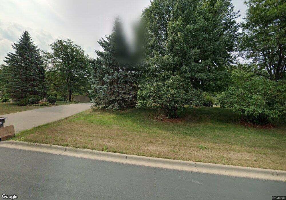
1985 Spring Lake Cir Jordan, MN 55352
Estimated Value: $634,338 - $798,000
4
Beds
4
Baths
2,544
Sq Ft
$270/Sq Ft
Est. Value
About This Home
This home is located at 1985 Spring Lake Cir, Jordan, MN 55352 and is currently estimated at $687,835, approximately $270 per square foot. 1985 Spring Lake Cir is a home located in Scott County with nearby schools including Jordan Elementary School, Hoboken Middle School, and Jordan Middle School.
Ownership History
Date
Name
Owned For
Owner Type
Purchase Details
Closed on
Sep 18, 2013
Sold by
Gunderson Jeffrey N and Gunderson Lora L
Bought by
Libert Timothy F and Libert Brenda L
Current Estimated Value
Home Financials for this Owner
Home Financials are based on the most recent Mortgage that was taken out on this home.
Original Mortgage
$209,930
Outstanding Balance
$156,595
Interest Rate
4.39%
Mortgage Type
New Conventional
Estimated Equity
$531,240
Purchase Details
Closed on
Sep 30, 1999
Sold by
Purdy Bernard R and Purdy Mary Brigid
Bought by
Gunderson Jeffrey N and Gunderson Lora L
Create a Home Valuation Report for This Property
The Home Valuation Report is an in-depth analysis detailing your home's value as well as a comparison with similar homes in the area
Home Values in the Area
Average Home Value in this Area
Purchase History
| Date | Buyer | Sale Price | Title Company |
|---|---|---|---|
| Libert Timothy F | $299,900 | Trademark Title Services Inc | |
| Gunderson Jeffrey N | $265,000 | -- |
Source: Public Records
Mortgage History
| Date | Status | Borrower | Loan Amount |
|---|---|---|---|
| Open | Libert Timothy F | $209,930 |
Source: Public Records
Tax History Compared to Growth
Tax History
| Year | Tax Paid | Tax Assessment Tax Assessment Total Assessment is a certain percentage of the fair market value that is determined by local assessors to be the total taxable value of land and additions on the property. | Land | Improvement |
|---|---|---|---|---|
| 2025 | $4,814 | $577,400 | $219,100 | $358,300 |
| 2024 | $4,602 | $563,000 | $209,200 | $353,800 |
| 2023 | $4,090 | $526,900 | $198,400 | $328,500 |
| 2022 | $3,686 | $543,700 | $188,900 | $354,800 |
| 2021 | $3,588 | $416,500 | $142,300 | $274,200 |
| 2020 | $3,858 | $401,500 | $139,400 | $262,100 |
| 2019 | $3,978 | $408,900 | $142,300 | $266,600 |
| 2018 | $3,776 | $0 | $0 | $0 |
| 2016 | $4,192 | $0 | $0 | $0 |
| 2014 | -- | $0 | $0 | $0 |
Source: Public Records
Map
Nearby Homes
- 2680 S Shore Dr
- 2780 S Shore Dr
- 3164 Sunflower Way NW
- 3140 Sunflower Way NW
- 3088 Sunflower Way NW
- 3169 SW Winfield Way SW
- 3309 Winfield NW
- 17394 Sunset Trail SW
- 3338 Winfield Way SW
- 17760 Winfield Way SW
- 3515 Winfield Way SW
- 17164 Sunset Trail SW
- 1768 Belmont Ave NW
- 18136 Yorkshire Ave
- 3133 Spring Lake Rd SW
- 17051 Sunrise Ave SW
- 3298 Balsam St SW
- 3309 Kent St SW
- 17196 Pheasant Meadow Ln SW
- 3055 Knollridge Dr NW
- 1965 Spring Lake Cir
- 1782X Vergus Ave
- 17786 Vergus Ave
- 1955 Lake View Dr
- 17770 Vergus Ave
- 1961 Lake View Dr
- 1965 Lake View Dr
- 1965 1965 Lake View Dr
- 17900 Vergus Ave
- 1991 Lake View Dr
- 17756 Vergus Ave
- 1900 Spring Lake Cir
- 2001 Lake View Dr
- 1875 Spring Lake Cir
- 2011 Lake View Dr
- 17730 Vergus Ave
- 1970 Lake View Dr
- 1960 Lake View Dr
- 1950 Lake View Dr
- 1980 Lake View Dr