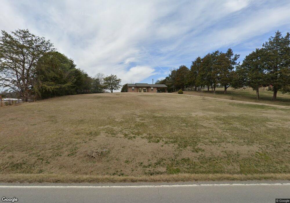
1985 Walnut Grove Rd Sevierville, TN 37876
Estimated Value: $177,000 - $266,818
Studio
1
Bath
997
Sq Ft
$223/Sq Ft
Est. Value
About This Home
This home is located at 1985 Walnut Grove Rd, Sevierville, TN 37876 and is currently estimated at $221,909, approximately $222 per square foot. 1985 Walnut Grove Rd is a home located in Sevier County with nearby schools including Christian Academy of the Smokies and New Center Christian School.
Ownership History
Date
Name
Owned For
Owner Type
Purchase Details
Closed on
Sep 17, 2018
Sold by
Estate Of Doris R Helton
Bought by
Hawkins Alan A
Current Estimated Value
Home Financials for this Owner
Home Financials are based on the most recent Mortgage that was taken out on this home.
Original Mortgage
$87,750
Outstanding Balance
$65,648
Interest Rate
4.6%
Mortgage Type
New Conventional
Estimated Equity
$156,261
Create a Home Valuation Report for This Property
The Home Valuation Report is an in-depth analysis detailing your home's value as well as a comparison with similar homes in the area
Home Values in the Area
Average Home Value in this Area
Purchase History
| Date | Buyer | Sale Price | Title Company |
|---|---|---|---|
| Hawkins Alan A | $97,500 | Smoky Mountain Title |
Source: Public Records
Mortgage History
| Date | Status | Borrower | Loan Amount |
|---|---|---|---|
| Open | Hawkins Alan A | $87,750 |
Source: Public Records
Tax History
| Year | Tax Paid | Tax Assessment Tax Assessment Total Assessment is a certain percentage of the fair market value that is determined by local assessors to be the total taxable value of land and additions on the property. | Land | Improvement |
|---|---|---|---|---|
| 2025 | $450 | $30,425 | $5,825 | $24,600 |
| 2024 | $450 | $30,425 | $5,825 | $24,600 |
| 2023 | $450 | $30,425 | $0 | $0 |
| 2022 | $450 | $30,425 | $5,825 | $24,600 |
| 2021 | $450 | $30,425 | $5,825 | $24,600 |
| 2020 | $388 | $30,425 | $5,825 | $24,600 |
| 2019 | $388 | $20,850 | $5,825 | $15,025 |
| 2018 | $313 | $20,850 | $5,825 | $15,025 |
| 2017 | $313 | $20,850 | $5,825 | $15,025 |
| 2016 | $313 | $20,850 | $5,825 | $15,025 |
| 2015 | -- | $21,100 | $0 | $0 |
| 2014 | $344 | $21,091 | $0 | $0 |
Source: Public Records
Map
Nearby Homes
- PC 12.01 Newport Hwy
- 120 County Garage Rd
- 0 Newport Hwy Unit 1318772
- 2005 Infinity Ln
- 2289 Allenridge Dr
- 298 Lane Hollow Rd
- 1838 Ally Ln
- 204 Lily Jo Way
- 2276 Allenridge Dr
- 1960 Oakmont Dr
- 333 Enchanted Forest Ln
- 242 Lily Jo Way
- 1811 Ally Ln
- 2255 Allenridge Dr
- 406 Oak Sky Way
- 2016 Oakmont Dr
- 0 Oak Lake Dr Unit 1273077
- 2022 Oakmont Dr
- 310 Paul Lafollette Way
- 2054 Oakmont Dr
- 1995 Walnut Grove Rd
- 0 Finchum Hollow Way -
- 1990 Newport Hwy
- 1973 Walnut Grove Rd
- 1975 Walnut Grove Rd
- 2001 Walnut Grove Rd
- 2009 Walnut Grove Rd
- 1960 Newport Hwy Unit 25.05
- 1960 Newport Hwy
- 219 Amolee Ln
- 2029 Walnut Grove Rd
- 1945 Walnut Grove Rd
- 2024 Newport Hwy
- 238 Amolee Ln
- 229 Amolee Ln
- 2039 Walnut Grove Rd
- 235 Amolee Ln
- 1940 Walnut Grove Rd
- 221 Leamar Dr
- 1939 Walnut Grove Rd
Your Personal Tour Guide
Ask me questions while you tour the home.