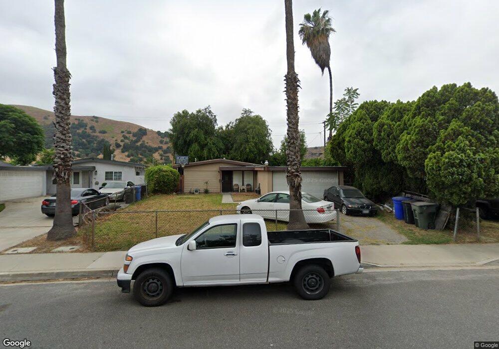
1986 Denison St Pomona, CA 91766
Phillips Ranch NeighborhoodEstimated Value: $640,524 - $687,000
About This Home
This home is located at 1986 Denison St, Pomona, CA 91766 and is currently estimated at $662,631, approximately $606 per square foot. 1986 Denison St is a home located in Los Angeles County with nearby schools including Westmont Elementary, Fremont Academy of Engineering and Design, and Ganesha High School.
Ownership History
We collect this data history from publicly available records. To have your information removed, we recommend requesting removal directly through your county’s website.
Purchase Details
Purchase Details
Home Values in the Area
Average Home Value in this Area
Purchase History
We collect this data history from publicly available records. To have your information removed, we recommend requesting removal directly through your county’s website.
| Date | Buyer | Sale Price | Title Company |
|---|---|---|---|
| -- | First American Title Co | ||
| -- | -- |
Mortgage History
We collect this data history from publicly available records. To have your information removed, we recommend requesting removal directly through your county’s website.
| Date | Status | Borrower | Loan Amount |
|---|---|---|---|
| Open | $45,000 | ||
| Open | $94,250 | ||
| Closed | $107,212 | ||
| Closed | $111,830 |
Tax History
We collect this data history from publicly available records. To have your information removed, we recommend requesting removal directly through your county’s website.
| Year | Tax Paid | Tax Assessment Tax Assessment Total Assessment is a certain percentage of the fair market value that is determined by local assessors to be the total taxable value of land and additions on the property. | Land | Improvement |
|---|---|---|---|---|
| 2025 | $2,738 | $184,732 | $83,967 | $100,765 |
| 2024 | $2,493 | $181,111 | $82,321 | $98,790 |
| 2023 | $2,442 | $177,560 | $80,707 | $96,853 |
| 2022 | $2,401 | $174,079 | $79,125 | $94,954 |
| 2021 | $2,341 | $170,667 | $77,574 | $93,093 |
| 2019 | $2,382 | $165,607 | $75,274 | $90,333 |
| 2018 | $2,177 | $162,361 | $73,799 | $88,562 |
| 2016 | $2,040 | $156,058 | $70,934 | $85,124 |
| 2015 | $2,021 | $153,715 | $69,869 | $83,846 |
| 2014 | $2,013 | $150,705 | $68,501 | $82,204 |
Map
- 1803 Fleming St
- 1760 W 9th St
- 1656 Vejar St
- 1642 Vejar St
- 1669 W Phillips Dr
- 2065 W Orange Grove Ave
- 3669 Legato Ct
- 949 Garrey Ave
- 1274 Redwood View Dr
- 2498 Kellogg Park Dr
- 2485 Kellogg Park Dr
- 1401 W 9th St Unit 61
- 1401 W 9th St Unit 103
- 1401 W 9th St Unit 148
- 1401 W 9th St Unit 59
- 1450 W 9th St
- 1476 W Holt Ave
- 1461 W Mission Blvd Unit 106
- 1461 W Mission Blvd
- 1461 W Mission Blvd
Ask me questions while you tour the home.