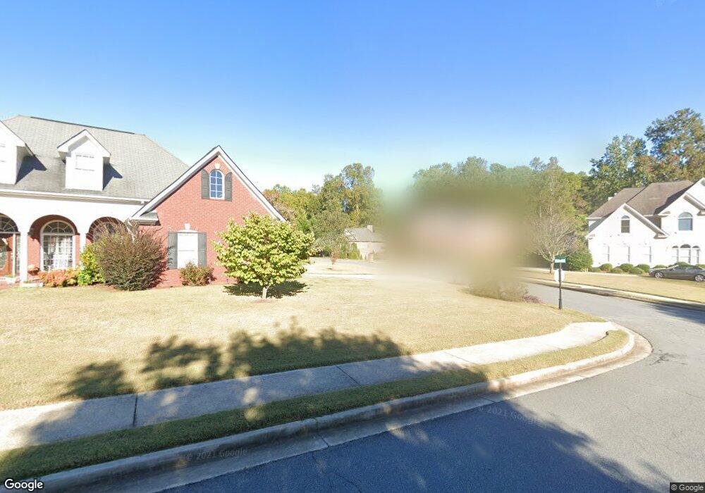
1987 Carithers Way Marietta, GA 30064
West Cobb NeighborhoodEstimated Value: $509,614 - $599,000
5
Beds
4
Baths
3,366
Sq Ft
$160/Sq Ft
Est. Value
About This Home
This home is located at 1987 Carithers Way, Marietta, GA 30064 and is currently estimated at $538,654, approximately $160 per square foot. 1987 Carithers Way is a home located in Cobb County with nearby schools including Dowell Elementary School, Lovinggood Middle School, and Hillgrove High School.
Ownership History
Date
Name
Owned For
Owner Type
Purchase Details
Closed on
Sep 29, 2004
Sold by
Benchmark International Inc
Bought by
Carithers Farm Homeowners Assoc
Current Estimated Value
Purchase Details
Closed on
Mar 15, 2004
Sold by
Benchmark Contractors Inc
Bought by
Rodriguez Brian A and Rodriguez Charity
Home Financials for this Owner
Home Financials are based on the most recent Mortgage that was taken out on this home.
Original Mortgage
$280,000
Interest Rate
4.25%
Create a Home Valuation Report for This Property
The Home Valuation Report is an in-depth analysis detailing your home's value as well as a comparison with similar homes in the area
Home Values in the Area
Average Home Value in this Area
Purchase History
| Date | Buyer | Sale Price | Title Company |
|---|---|---|---|
| Carithers Farm Homeowners Assoc | -- | -- | |
| Rodriguez Brian A | $67,500 | -- |
Source: Public Records
Mortgage History
| Date | Status | Borrower | Loan Amount |
|---|---|---|---|
| Previous Owner | Rodriguez Brian A | $280,000 |
Source: Public Records
Tax History Compared to Growth
Tax History
| Year | Tax Paid | Tax Assessment Tax Assessment Total Assessment is a certain percentage of the fair market value that is determined by local assessors to be the total taxable value of land and additions on the property. | Land | Improvement |
|---|---|---|---|---|
| 2025 | $4,174 | $166,020 | $36,000 | $130,020 |
| 2024 | $4,177 | $166,020 | $36,000 | $130,020 |
| 2023 | $3,394 | $154,916 | $24,000 | $130,916 |
| 2022 | $3,966 | $154,916 | $24,000 | $130,916 |
| 2021 | $3,966 | $154,916 | $24,000 | $130,916 |
| 2020 | $3,776 | $146,276 | $24,000 | $122,276 |
| 2019 | $3,776 | $146,276 | $24,000 | $122,276 |
| 2018 | $3,418 | $129,916 | $24,000 | $105,916 |
| 2017 | $3,278 | $129,916 | $24,000 | $105,916 |
| 2016 | $2,454 | $94,260 | $17,680 | $76,580 |
| 2015 | $2,517 | $94,260 | $17,680 | $76,580 |
| 2014 | $2,538 | $94,260 | $0 | $0 |
Source: Public Records
Map
Nearby Homes
- 2409 Caneridge Point SW
- 2117 Caneridge Dr SW
- 1985 Freestone Way
- 2040 Hardwood Cir SW Unit 3
- 2009 Freestone Way
- Monteluce Plan at Freestone Station
- Hillside Plan at Freestone Station
- Oakshire Plan at Freestone Station
- Hendricks Plan at Freestone Station
- Hedgerow Plan at Freestone Station
- Antioch Plan at Freestone Station
- 1952 Freestone Way
- 2040 Freestone Way
- 2146 Caneridge Dr SW
- 1946 MacLand Rd SW
- 2166 Derbyshire Dr SW
- 1830 MacLand Rd SW
- 2126 Green Dr SW
- 2002 MacLand Square Dr Unit 1
- 2093 Breconridge Dr SW
- 1983 Carithers Way
- 1991 Carithers Way
- 2196 Kenward Ct SW
- 1979 Carithers Way
- 1995 Carithers Way
- 1990 Carithers Way
- 1994 Carithers Way
- 2194 Kenward Ct SW
- 2194 Kenwood Ct SW
- 1986 Carithers Way
- 2017 Carithers Dr
- 1982 Carithers Way
- 1975 Carithers Way
- 2005 Carithers Dr
- 2195 Kenward Ct SW Unit 4
- 2192 Kenward Ct SW
- 2010 Carithers Dr
- 2014 Carithers Dr
- 2021 Carithers Dr
- 1978 Carithers Way