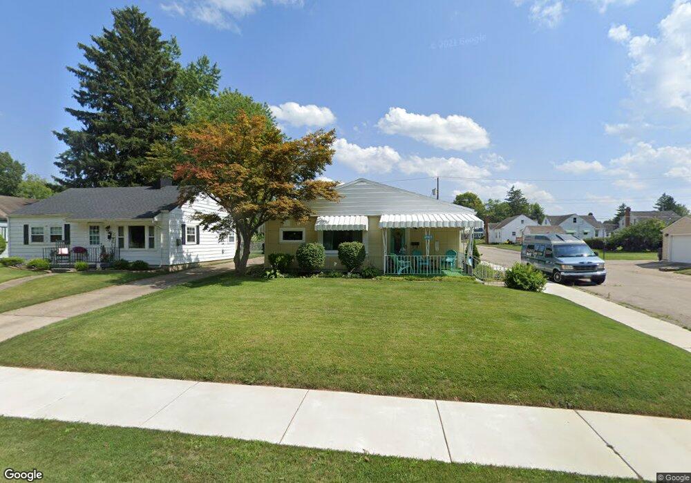
1987 Harshman Blvd Springfield, OH 45504
Estimated Value: $114,000 - $148,000
2
Beds
1
Bath
1,019
Sq Ft
$134/Sq Ft
Est. Value
About This Home
This home is located at 1987 Harshman Blvd, Springfield, OH 45504 and is currently estimated at $136,347, approximately $133 per square foot. 1987 Harshman Blvd is a home located in Clark County with nearby schools including Snyder Park Elementary School, Roosevelt Middle School, and Springfield High School.
Ownership History
Date
Name
Owned For
Owner Type
Purchase Details
Closed on
Jun 4, 2014
Sold by
Trumbo Violet R
Bought by
Buckley John V and Buckley Kathryn A
Current Estimated Value
Home Financials for this Owner
Home Financials are based on the most recent Mortgage that was taken out on this home.
Original Mortgage
$59,397
Outstanding Balance
$45,145
Interest Rate
4.18%
Mortgage Type
VA
Estimated Equity
$91,202
Purchase Details
Closed on
Sep 11, 1995
Sold by
Unum Hugh A
Bought by
Trumbo Burt M and Trumbo Violet
Create a Home Valuation Report for This Property
The Home Valuation Report is an in-depth analysis detailing your home's value as well as a comparison with similar homes in the area
Home Values in the Area
Average Home Value in this Area
Purchase History
| Date | Buyer | Sale Price | Title Company |
|---|---|---|---|
| Buckley John V | $57,500 | First Ohio Title Insurance | |
| Trumbo Burt M | $47,000 | -- |
Source: Public Records
Mortgage History
| Date | Status | Borrower | Loan Amount |
|---|---|---|---|
| Open | Buckley John V | $59,397 |
Source: Public Records
Tax History Compared to Growth
Tax History
| Year | Tax Paid | Tax Assessment Tax Assessment Total Assessment is a certain percentage of the fair market value that is determined by local assessors to be the total taxable value of land and additions on the property. | Land | Improvement |
|---|---|---|---|---|
| 2024 | $1,074 | $31,420 | $7,090 | $24,330 |
| 2023 | $1,074 | $31,420 | $7,090 | $24,330 |
| 2022 | $1,121 | $31,420 | $7,090 | $24,330 |
| 2021 | $763 | $23,020 | $5,810 | $17,210 |
| 2020 | $765 | $23,020 | $5,810 | $17,210 |
| 2019 | $767 | $23,020 | $5,810 | $17,210 |
| 2018 | $617 | $19,790 | $5,540 | $14,250 |
| 2017 | $617 | $21,742 | $5,537 | $16,205 |
| 2016 | $1,107 | $21,742 | $5,537 | $16,205 |
| 2015 | $1,144 | $21,742 | $5,537 | $16,205 |
| 2014 | $1,172 | $21,742 | $5,537 | $16,205 |
| 2013 | $580 | $21,742 | $5,537 | $16,205 |
Source: Public Records
Map
Nearby Homes
- 1815 Broadway St
- 1715 W North St
- 40 Zischler St
- 22 Seever St
- 1824 W Washington St
- 1420 Parker Ct
- 366 N Isabella St
- 3939 Shrine Rd
- 1015 Hillcrest Ave
- 361 Upper Valley Pike
- 0 Upper Valley Pike
- 1205 W High St
- 101`103 N Western
- 935 W North St Unit 935
- 2805 Cottonwood Dr
- 423 N Jackson St Unit 425
- 1222 Beverly Ave
- 1009 W High St
- 1120 W High St
- 190 Oakridge Dr
- 1983 Harshman Blvd
- 2001 Harshman Blvd
- 1977 Harshman Blvd
- 2007 Harshman Blvd
- 1973 Harshman Blvd
- 1960 Broadway St
- 1958 Broadway St
- 2011 Harshman Blvd
- 2000 Broadway St
- 1952 Broadway St
- 2004 Broadway St
- 1948 Broadway St
- 2021 Harshman Blvd
- 2012 Broadway St
- 1944 Broadway St
- 2018 Broadway St
- 1938 Broadway St
- 2027 Harshman Blvd
- 1951 Harshman Blvd
- 2022 Broadway St Unit 2024