19870 Brickhouse Ln Unit L1 West Point, VA 23181
Estimated Value: $318,000 - $784,292
3
Beds
3
Baths
2,289
Sq Ft
$268/Sq Ft
Est. Value
About This Home
This home is located at 19870 Brickhouse Ln Unit L1, West Point, VA 23181 and is currently estimated at $613,573, approximately $268 per square foot. 19870 Brickhouse Ln Unit L1 is a home located in New Kent County with nearby schools including New Kent High School.
Ownership History
Date
Name
Owned For
Owner Type
Purchase Details
Closed on
Sep 24, 2015
Sold by
Brabrand John Peyton and Brabrand Amy
Bought by
Brabrand John Peyton
Current Estimated Value
Home Financials for this Owner
Home Financials are based on the most recent Mortgage that was taken out on this home.
Original Mortgage
$275,000
Outstanding Balance
$215,773
Interest Rate
3.88%
Mortgage Type
New Conventional
Estimated Equity
$397,800
Create a Home Valuation Report for This Property
The Home Valuation Report is an in-depth analysis detailing your home's value as well as a comparison with similar homes in the area
Home Values in the Area
Average Home Value in this Area
Purchase History
| Date | Buyer | Sale Price | Title Company |
|---|---|---|---|
| Brabrand John Peyton | -- | None Available |
Source: Public Records
Mortgage History
| Date | Status | Borrower | Loan Amount |
|---|---|---|---|
| Open | Brabrand John Peyton | $275,000 |
Source: Public Records
Tax History Compared to Growth
Tax History
| Year | Tax Paid | Tax Assessment Tax Assessment Total Assessment is a certain percentage of the fair market value that is determined by local assessors to be the total taxable value of land and additions on the property. | Land | Improvement |
|---|---|---|---|---|
| 2024 | -- | $756,700 | $367,700 | $389,000 |
| 2023 | $0 | $678,300 | $318,800 | $359,500 |
| 2022 | $0 | $678,300 | $318,800 | $359,500 |
| 2021 | $3,847 | $487,000 | $161,000 | $326,000 |
| 2020 | $3,847 | $487,000 | $161,000 | $326,000 |
| 2019 | $3,623 | $441,800 | $132,900 | $308,900 |
| 2018 | $3,623 | $441,800 | $132,900 | $308,900 |
| 2017 | $2,411 | $290,500 | $40,400 | $250,100 |
| 2016 | $2,411 | $290,500 | $40,400 | $250,100 |
| 2015 | $2,687 | $387,900 | $70,400 | $317,500 |
| 2014 | -- | $387,900 | $70,400 | $317,500 |
Source: Public Records
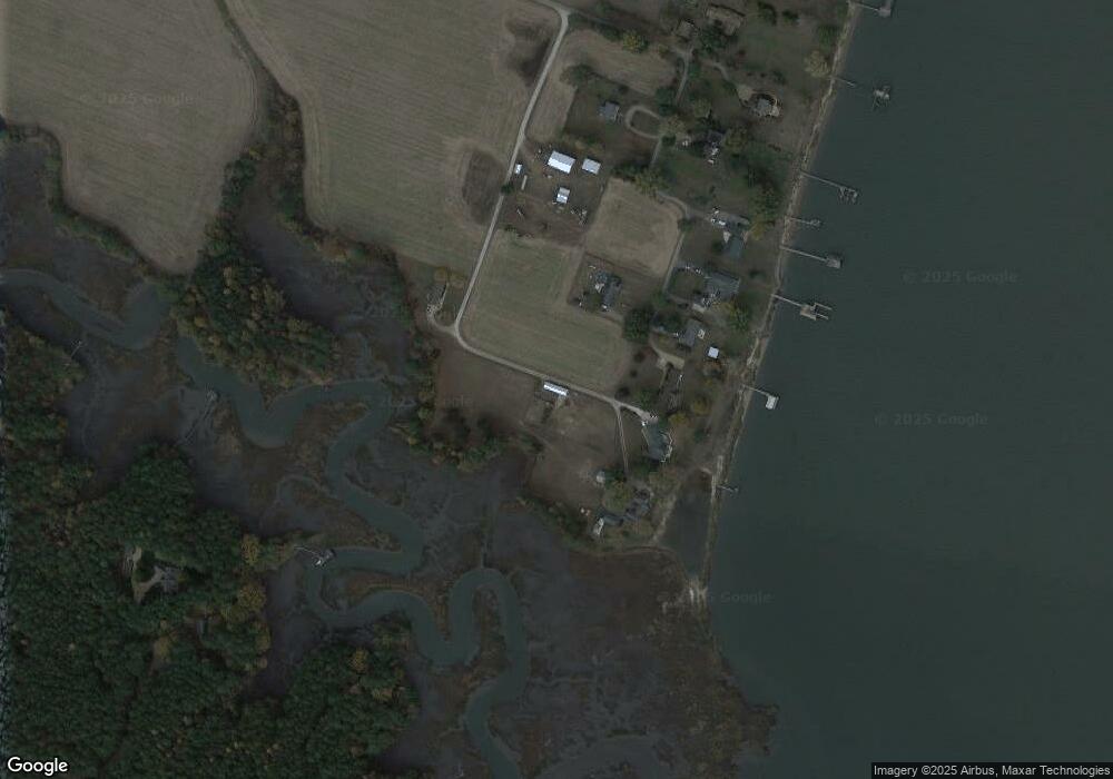
Map
Nearby Homes
- 0 Georgia Ave
- Lot 52F Georgia Ave
- LOT 53B Georgia Ave
- Lot 52G Georgia Ave
- Lot 53D Georgia Ave
- BLK 52 & 53 Georgia Ave
- 000 High Bluff Ln
- 7953 Pennsylvania Ave
- 7949 Pennsylvania Ave
- 19441 York Rd
- 5930 Farmers Dr Unit A
- 520 Main St
- TBD Squirrel Hollow Ln
- 8241 Virginia Ave
- 826 Lee St
- 0 14th and Kirby St
- 173 Virginia Ave
- 1815 F St
- 00 Glass Island Rd
- 0 Mount Nebo Rd
- 19854 Brickhouse Ln Unit M
- 19711 Brickhouse Ln Unit L
- 19848 Brickhouse Ln Unit J
- 19845 Brickhouse Ln Unit S
- 19840 Brickhouse Ln Unit N
- 19834 Brickhouse Ln Unit H
- 19707 Brickhouse Ln Unit A
- 19826 Brickhouse Ln Unit B
- 19825 Brickhouse Ln Unit Q
- 19810 Brickhouse Ln
- 19808 Brickhouse Ln Unit C
- 19540 Tidal Water Rd Unit C
- 19550 Tidal Water Rd Unit E
- 19710 Brickhouse Ln Unit A
- 19706 Brickhouse Ln Unit K
- 19720 Brickhouse Ln
- 19689 High Bluff Ln
- 19722 Brickhouse Ln Unit A
- 19528 Tidal Water Rd Unit I
- 19505 Tidal Water Rd Unit G