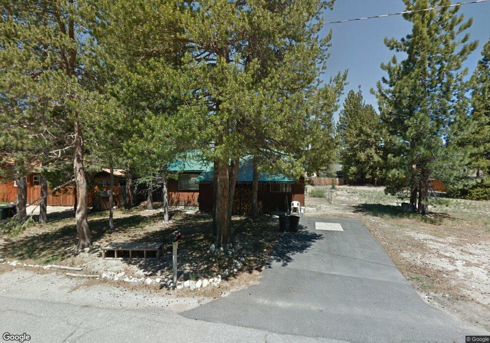
1988 Arrowhead Ave South Lake Tahoe, CA 96150
Estimated Value: $684,515 - $787,000
4
Beds
3
Baths
1,872
Sq Ft
$396/Sq Ft
Est. Value
About This Home
This home is located at 1988 Arrowhead Ave, South Lake Tahoe, CA 96150 and is currently estimated at $740,629, approximately $395 per square foot. 1988 Arrowhead Ave is a home located in El Dorado County with nearby schools including Tahoe Valley Elementary School, South Tahoe Middle School, and South Tahoe High School.
Ownership History
Date
Name
Owned For
Owner Type
Purchase Details
Closed on
Jun 5, 2023
Sold by
Gerald And Margaret Gradia Family Trust
Bought by
Mucci Living Trust and Mucci
Current Estimated Value
Purchase Details
Closed on
May 22, 2020
Sold by
Gradia Gerald and The Gerald And Margaret Gradia
Bought by
Gradia Gerald and The Survivor S Trust Created U
Purchase Details
Closed on
Mar 13, 2001
Sold by
Gradia Gerald and Gradia Margaret
Bought by
Gradia Gerald and Gradia Margaret
Create a Home Valuation Report for This Property
The Home Valuation Report is an in-depth analysis detailing your home's value as well as a comparison with similar homes in the area
Home Values in the Area
Average Home Value in this Area
Purchase History
| Date | Buyer | Sale Price | Title Company |
|---|---|---|---|
| Mucci Living Trust | -- | None Listed On Document | |
| Gradia Gerald | -- | None Available | |
| Gradia Gerald | -- | -- |
Source: Public Records
Tax History Compared to Growth
Tax History
| Year | Tax Paid | Tax Assessment Tax Assessment Total Assessment is a certain percentage of the fair market value that is determined by local assessors to be the total taxable value of land and additions on the property. | Land | Improvement |
|---|---|---|---|---|
| 2025 | $4,439 | $568,888 | $208,080 | $360,808 |
| 2024 | $4,439 | $408,000 | $204,000 | $204,000 |
| 2023 | $722 | $56,544 | $11,290 | $45,254 |
| 2022 | $715 | $55,436 | $11,069 | $44,367 |
| 2021 | $702 | $54,350 | $10,852 | $43,498 |
| 2020 | $696 | $53,793 | $10,741 | $43,052 |
| 2019 | $693 | $52,739 | $10,531 | $42,208 |
| 2018 | $679 | $51,706 | $10,325 | $41,381 |
| 2017 | $670 | $50,693 | $10,123 | $40,570 |
| 2016 | $658 | $49,700 | $9,925 | $39,775 |
| 2015 | $628 | $48,956 | $9,777 | $39,179 |
| 2014 | $628 | $47,999 | $9,587 | $38,412 |
Source: Public Records
Map
Nearby Homes
- 1085 Mulberry Dr
- 1982 Cherokee St
- 2182 Lindenwood Dr
- 1140 Sioux St
- 2189 Cornelian Dr
- 0 Tomahawk Ln
- 2181 Pinewood Dr
- 2255 Blitzen Rd
- 2263 Blitzen Rd
- 1935 Apache Ave
- 2113 Oaxaco St
- 1940 Apache Ave
- 2877 Us Highway 50
- 1444 Apache Ave
- 1502 Seminole Dr
- 1871 Normuk St
- 1666 Arapahoe St
- 1889 Normuk St
- 1344 Ottawa Dr
- 1894 Normuk St
- 1994 Arrowhead Ave
- 1998 Arrowhead Ave
- 1978 Arrowhead Ave
- 2047 Arrowhead Ct
- 1060 Mohawk St
- 2002 Arrowhead Ave
- 1974 Arrowhead Ave
- 1050 Mohawk St
- 1056 Mohawk St
- 2051 Arrowhead Ct
- 1074 Mohawk St
- 2001 Arrowhead Ave
- 2008 Arrowhead Ave
- 1970 Arrowhead Ave
- 1044 Mohawk St
- 2010 Arrowhead Ave
- 2020 Hopi Ave
- 2055 Arrowhead Ct
- 2005 Arrowhead Ave
- 1040 Mohawk St