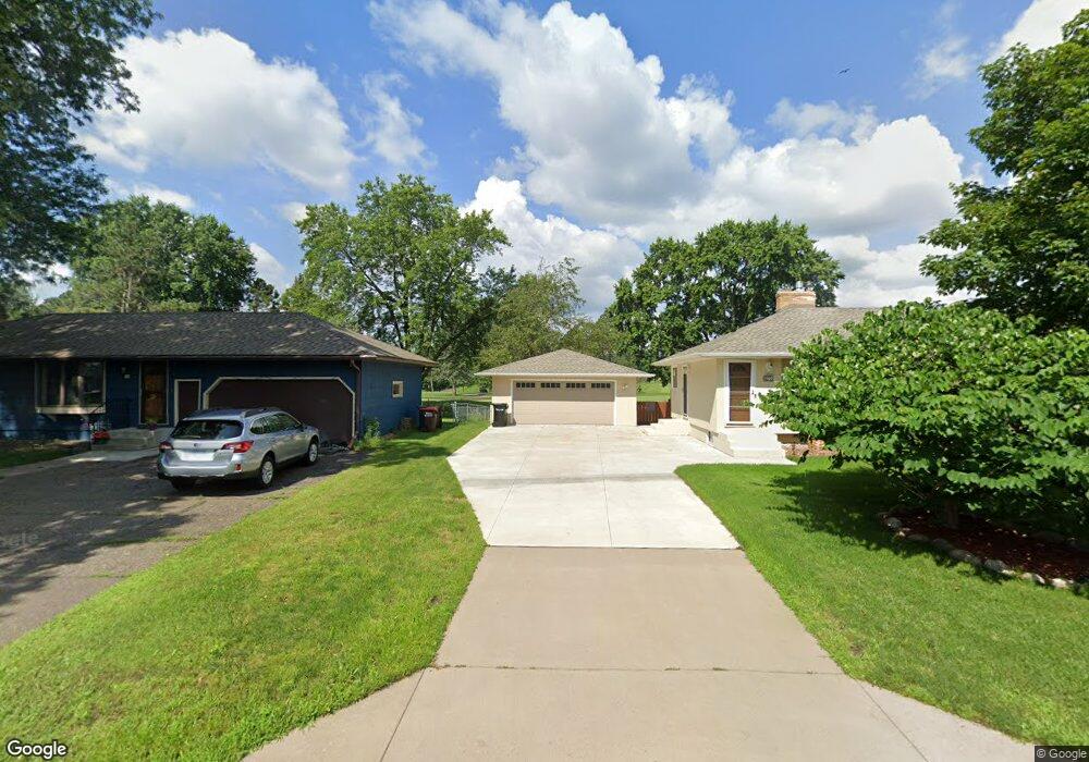
1989 Duluth St Saint Paul, MN 55109
Sherwood Glen NeighborhoodEstimated Value: $335,899 - $422,000
3
Beds
1
Bath
1,174
Sq Ft
$311/Sq Ft
Est. Value
About This Home
This home is located at 1989 Duluth St, Saint Paul, MN 55109 and is currently estimated at $364,725, approximately $310 per square foot. 1989 Duluth St is a home located in Ramsey County with nearby schools including Weaver Elementary School, John Glenn Middle School, and Mounds Park Academy.
Ownership History
Date
Name
Owned For
Owner Type
Purchase Details
Closed on
Jun 13, 2019
Sold by
Birkholz Russell D and Birkholz Debra L
Bought by
Bowman Sean Randall and Koetz Nicole Marie
Current Estimated Value
Home Financials for this Owner
Home Financials are based on the most recent Mortgage that was taken out on this home.
Original Mortgage
$258,137
Outstanding Balance
$225,665
Interest Rate
3.82%
Mortgage Type
FHA
Estimated Equity
$139,060
Create a Home Valuation Report for This Property
The Home Valuation Report is an in-depth analysis detailing your home's value as well as a comparison with similar homes in the area
Home Values in the Area
Average Home Value in this Area
Purchase History
| Date | Buyer | Sale Price | Title Company |
|---|---|---|---|
| Bowman Sean Randall | $262,900 | The Title Group Inc |
Source: Public Records
Mortgage History
| Date | Status | Borrower | Loan Amount |
|---|---|---|---|
| Open | Bowman Sean Randall | $258,137 |
Source: Public Records
Tax History
| Year | Tax Paid | Tax Assessment Tax Assessment Total Assessment is a certain percentage of the fair market value that is determined by local assessors to be the total taxable value of land and additions on the property. | Land | Improvement |
|---|---|---|---|---|
| 2025 | $4,624 | $340,900 | $65,800 | $275,100 |
| 2023 | $4,624 | $330,600 | $65,800 | $264,800 |
| 2022 | $3,886 | $322,900 | $65,800 | $257,100 |
| 2021 | $3,590 | $269,800 | $65,800 | $204,000 |
| 2020 | $3,516 | $256,400 | $65,800 | $190,600 |
| 2019 | $3,924 | $236,400 | $65,800 | $170,600 |
| 2018 | $3,788 | $222,600 | $65,800 | $156,800 |
| 2017 | $3,718 | $207,700 | $65,800 | $141,900 |
| 2016 | $3,680 | $0 | $0 | $0 |
| 2015 | $3,538 | $190,900 | $60,300 | $130,600 |
| 2014 | $3,302 | $0 | $0 | $0 |
Source: Public Records
Map
Nearby Homes
- 2022 English St
- 1290 Belmont Ln E
- 1083 Gordon Ave
- 1800 Edward St
- 1200 Leland Rd E
- 1745 Duluth St
- 1855 Birmingham St
- 2180 N English St
- 2125 Hazelwood St
- 1633 Etna St
- 1984 Prosperity Rd
- 1544 Duluth St
- 1894 Maryknoll Ave N
- 1563 Clarence St
- 1561 Clarence St
- 1461 Grandview Ave E
- TBD Eldridge Ave E
- 1460 Hoyt Ave E
- 1571 Christie Place
- 1581 Christie Place
- 1995 Duluth St
- 1981 Duluth St
- 2001 Duluth St
- 1988 Duluth St
- 1110 Ryan Ave E
- 1994 Duluth St
- 2009 Duluth St
- 1106 Ryan Ave E
- 2002 Duluth St
- 1202 Ryan Ave E
- 1211 Ryan Ave E
- 2017 Duluth St
- 1210 Shryer Ave E
- 1210 Ryan Ave E
- 1219 Ryan Ave E
- 2023 Duluth St
- 1203 Shryer Ave E
- 1216 Ryan Ave E
- 1216 Shryer Ave E
- 1227 Ryan Ave E
Your Personal Tour Guide
Ask me questions while you tour the home.