1989 E South Shore Dr Morgantown, IN 46160
Estimated Value: $218,722 - $307,000
3
Beds
2
Baths
2,184
Sq Ft
$122/Sq Ft
Est. Value
About This Home
This home is located at 1989 E South Shore Dr, Morgantown, IN 46160 and is currently estimated at $266,181, approximately $121 per square foot. 1989 E South Shore Dr is a home located in Brown County with nearby schools including Brown County High School.
Ownership History
Date
Name
Owned For
Owner Type
Purchase Details
Closed on
Jul 21, 2017
Sold by
Roger Rayburn
Bought by
Allard Linda C
Current Estimated Value
Home Financials for this Owner
Home Financials are based on the most recent Mortgage that was taken out on this home.
Original Mortgage
$68,100
Outstanding Balance
$55,556
Interest Rate
3.25%
Mortgage Type
Adjustable Rate Mortgage/ARM
Estimated Equity
$210,625
Purchase Details
Closed on
May 27, 2011
Sold by
Hull Morris D and Hull Donna R
Bought by
Rayburn Roger
Purchase Details
Closed on
Sep 25, 2006
Sold by
Miller Michael J and Miller Mari H
Bought by
Fell Martha R
Home Financials for this Owner
Home Financials are based on the most recent Mortgage that was taken out on this home.
Original Mortgage
$149,500
Interest Rate
6.49%
Create a Home Valuation Report for This Property
The Home Valuation Report is an in-depth analysis detailing your home's value as well as a comparison with similar homes in the area
Home Values in the Area
Average Home Value in this Area
Purchase History
| Date | Buyer | Sale Price | Title Company |
|---|---|---|---|
| Allard Linda C | $89,900 | -- | |
| Allard Linda C | -- | None Available | |
| Rayburn Roger | -- | -- | |
| Fell Martha R | -- | -- |
Source: Public Records
Mortgage History
| Date | Status | Borrower | Loan Amount |
|---|---|---|---|
| Open | Allard Linda C | $68,100 | |
| Previous Owner | Fell Martha R | $149,500 |
Source: Public Records
Tax History Compared to Growth
Tax History
| Year | Tax Paid | Tax Assessment Tax Assessment Total Assessment is a certain percentage of the fair market value that is determined by local assessors to be the total taxable value of land and additions on the property. | Land | Improvement |
|---|---|---|---|---|
| 2024 | $257 | $148,500 | $31,600 | $116,900 |
| 2023 | $271 | $138,200 | $26,100 | $112,100 |
| 2022 | $332 | $138,000 | $26,100 | $111,900 |
| 2021 | $311 | $127,300 | $23,300 | $104,000 |
| 2020 | $232 | $114,700 | $20,600 | $94,100 |
| 2019 | $237 | $114,200 | $20,600 | $93,600 |
| 2018 | $252 | $110,200 | $16,600 | $93,600 |
| 2017 | $612 | $169,700 | $16,600 | $153,100 |
| 2016 | $1,970 | $160,900 | $16,600 | $144,300 |
| 2014 | $1,716 | $163,300 | $16,600 | $146,700 |
| 2013 | $1,716 | $160,100 | $16,600 | $143,500 |
Source: Public Records
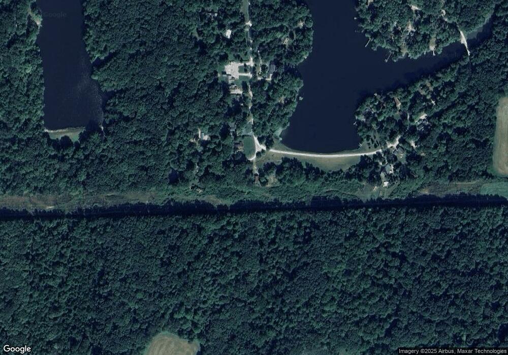
Map
Nearby Homes
- 5821 N Bittersweet Rd
- 5175 Bean Blossom Rd
- 0 Gatesville Rd Unit MBR22062746
- 0 Tract #8 Smith Rd
- 0, Tract #7 Smith Rd
- 0 Tract #6 Smith Rd
- 0 Tract #3 Sprunica Rd
- 5994 Pine Tree Ln
- 1058 Freeman Ridge Rd
- 0 Beanblossom Rd Unit MBR22059702
- 3740 Smith Rd
- 4837 Covered Bridge Rd
- 5972 Hidden Lake Ln
- 4168 Sprunica Rd
- 7847 Bean Blossom Rd
- 2289 Twinlake Rd
- 6412 N Stinson Rd
- 3047 Grandma Barnes Rd
- 7258 N Richardson Dr
- 8942 Bean Blossom Rd
- 1988 E South Shore Dr
- 1949 E South Shore Dr
- 1940 E South Shore Dr
- 5590 N West Shore Dr
- 5590 W Shore Dr
- 1922 S Shore Woodland Lake Dr
- 5620 N West Shore Dr
- 5620 N West Shore Dr
- 5632 N West Shore Dr
- 5646 N West Shore Dr
- 5642 N West Shore Dr
- 5657 N West Shore Dr
- 0 E South Shore Dr Unit MBR2457164
- 0 E South Shore Dr Unit MBR2428337
- 5688 N West Shore Dr
- 2117 E South Shore Dr
- 2146 Shore Dr
- 5681 W Shore Dr N
- 5681 N West Shore Dr