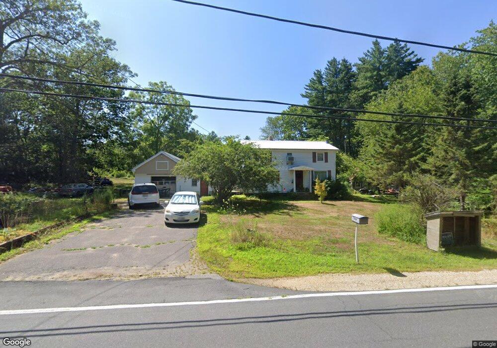
1989 State Rd Eliot, ME 03903
East Eliot NeighborhoodEstimated Value: $394,329 - $592,000
4
Beds
1
Bath
1,408
Sq Ft
$360/Sq Ft
Est. Value
About This Home
This home is located at 1989 State Rd, Eliot, ME 03903 and is currently estimated at $507,332, approximately $360 per square foot. 1989 State Rd is a home located in York County with nearby schools including Marshwood High School and Seacoast Waldorf School.
Create a Home Valuation Report for This Property
The Home Valuation Report is an in-depth analysis detailing your home's value as well as a comparison with similar homes in the area
Home Values in the Area
Average Home Value in this Area
Tax History
| Year | Tax Paid | Tax Assessment Tax Assessment Total Assessment is a certain percentage of the fair market value that is determined by local assessors to be the total taxable value of land and additions on the property. | Land | Improvement |
|---|---|---|---|---|
| 2024 | $3,300 | $278,500 | $118,000 | $160,500 |
| 2023 | $3,256 | $265,800 | $112,300 | $153,500 |
| 2022 | $3,131 | $258,800 | $112,300 | $146,500 |
| 2021 | $3,185 | $235,900 | $91,400 | $144,500 |
| 2020 | $3,191 | $217,100 | $87,200 | $129,900 |
| 2019 | $3,191 | $217,100 | $87,200 | $129,900 |
| 2018 | $3,191 | $217,100 | $87,200 | $129,900 |
| 2017 | $3,095 | $216,400 | $87,200 | $129,200 |
| 2016 | $3,040 | $216,400 | $87,200 | $129,200 |
| 2015 | $3,030 | $216,400 | $87,200 | $129,200 |
| 2014 | $2,986 | $216,400 | $87,200 | $129,200 |
| 2013 | $2,850 | $216,400 | $87,200 | $129,200 |
Source: Public Records
Map
Nearby Homes
- 25 Heritage Dr
- Lot 2 Cedar Tbd
- 10 Pasture Hill Dr
- TBD Pasture Hill Dr
- 116 Heron Cove Rd
- 708 River Rd Unit 2
- 708 River Rd Unit 3
- 25 Fosters Dr
- 65 Wildbrook Ln
- 6 Isaac Lucas Cir
- 220 Dover Point Rd
- 69 Polly Ann Trailer Park
- 16 Polly Ann Park
- Slip B18 Little Bay
- 21 Clearwater Dr
- 14 Independence Dr
- 1 Independence Dr
- 51 Constitution Way
- 6 Revolution Dr
- 55 Pointe Place Unit 108
- 1971 State Rd
- 1981 State Rd
- 1999 State Rd
- 405 State Rd
- 1957 State Rd
- 1986 State Rd
- 394 State Rd
- 1972 State Rd
- 1951 State Rd
- 398 State Rd
- 2001 State Rd
- 0 State Eastern Ridge
- 400 State Rd
- 401 State Rd
- 22 Fogg (Lot 70-41) Unit 70-41
- 22 Fogg Ln Unit 70-41
- 22 Fogg Ln
- 1954 State Rd
- 1941 State Rd
- 404 State Rd
Your Personal Tour Guide
Ask me questions while you tour the home.