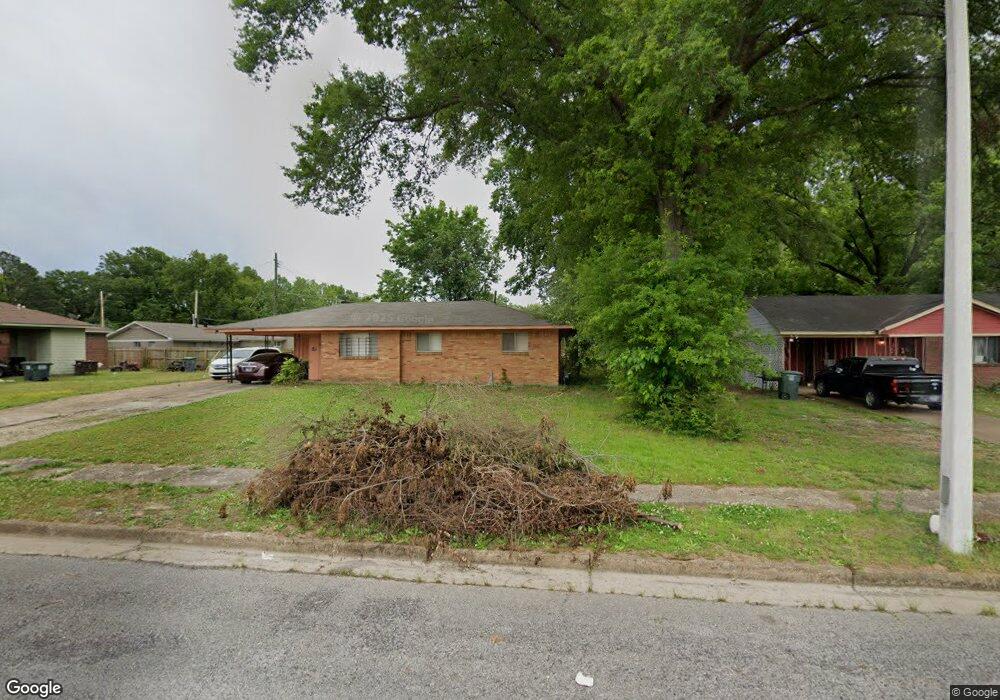
1989 Tacoma Ave Memphis, TN 38116
Whitehaven NeighborhoodEstimated Value: $112,000 - $186,000
3
Beds
1
Bath
1,177
Sq Ft
$128/Sq Ft
Est. Value
About This Home
This home is located at 1989 Tacoma Ave, Memphis, TN 38116 and is currently estimated at $151,152, approximately $128 per square foot. 1989 Tacoma Ave is a home located in Shelby County with nearby schools including Winchester Elementary School, A. Maceo Walker Middle School, and Freedom Preparatory Academy Elementary School.
Ownership History
Date
Name
Owned For
Owner Type
Purchase Details
Closed on
Jul 14, 2006
Sold by
Hightower Nick C and Hightower Brenda K
Bought by
Hightower Nick C and Hightower Brenda K
Current Estimated Value
Home Financials for this Owner
Home Financials are based on the most recent Mortgage that was taken out on this home.
Original Mortgage
$59,150
Interest Rate
8.45%
Mortgage Type
New Conventional
Purchase Details
Closed on
Apr 30, 1999
Sold by
Hightower Brenda P
Bought by
Hightower Nick C
Create a Home Valuation Report for This Property
The Home Valuation Report is an in-depth analysis detailing your home's value as well as a comparison with similar homes in the area
Home Values in the Area
Average Home Value in this Area
Purchase History
| Date | Buyer | Sale Price | Title Company |
|---|---|---|---|
| Hightower Nick C | -- | None Available | |
| Hightower Nick C | -- | Chicago Title Insurance Co |
Source: Public Records
Mortgage History
| Date | Status | Borrower | Loan Amount |
|---|---|---|---|
| Closed | Hightower Nick C | $59,150 |
Source: Public Records
Tax History Compared to Growth
Tax History
| Year | Tax Paid | Tax Assessment Tax Assessment Total Assessment is a certain percentage of the fair market value that is determined by local assessors to be the total taxable value of land and additions on the property. | Land | Improvement |
|---|---|---|---|---|
| 2025 | $734 | $26,250 | $4,500 | $21,750 |
| 2024 | $734 | $21,650 | $3,625 | $18,025 |
| 2023 | $1,319 | $21,650 | $3,625 | $18,025 |
| 2022 | $1,319 | $21,650 | $3,625 | $18,025 |
| 2021 | $1,334 | $21,650 | $3,625 | $18,025 |
| 2020 | $1,150 | $15,875 | $3,625 | $12,250 |
| 2019 | $1,150 | $15,875 | $3,625 | $12,250 |
| 2018 | $1,150 | $15,875 | $3,625 | $12,250 |
| 2017 | $652 | $15,875 | $3,625 | $12,250 |
| 2016 | $671 | $15,350 | $0 | $0 |
| 2014 | $671 | $15,350 | $0 | $0 |
Source: Public Records
Map
Nearby Homes
- 1950 Victoria Ave
- 3804 Cazassa Rd
- 3687 Windcrest Rd
- 1811 Dale Lavern Rd
- 1718 Borden Dr
- 3779 Mickey Dr
- 3051 Childress Rd
- 3065 Childress Rd
- 3061 Childress Rd
- 3055 Childress Rd
- 1460 Lehr Dr
- 1435 Blueberry Dr
- 1971 Francisco St
- 3639 Huckleberry St
- 3979 Wisteria Dr
- 1966 El Camino Ave Unit 54A
- 4262 Balboa Cir Unit 27A
- 1358 Old Hickory Rd
- 1406 Randall Dr
- 1328 Old Hickory Rd
- 1981 Tacoma Ave
- 3639 Boeingshire Dr
- 3631 Boeingshire Dr
- 1984 Croydon Ave
- 1973 Tacoma Ave
- 3645 Boeingshire Dr
- 1976 Croydon Ave
- 1965 Tacoma Ave
- 1968 Croydon Ave
- 1993 Croydon Ave
- 1960 Croydon Ave
- 3638 Boeingshire Dr
- 3628 Boeingshire Dr
- 1957 Tacoma Ave
- 1983 Croydon Ave
- 3646 Boeingshire Dr
- 1975 Croydon Ave
- 3620 Boeingshire Dr
- 3654 Boeingshire Dr
- 1967 Croydon Ave