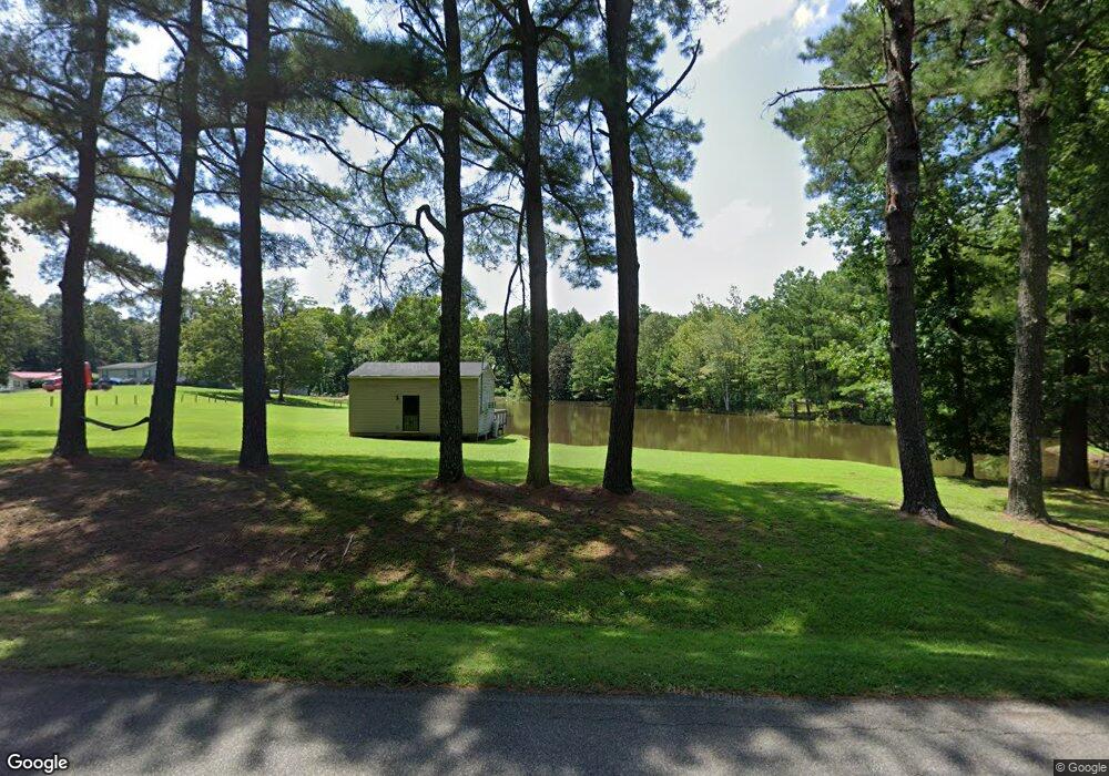
199 Adair Rd Jackson, TN 38305
Estimated Value: $82,000 - $485,000
Studio
2
Baths
1,053
Sq Ft
$210/Sq Ft
Est. Value
About This Home
This home is located at 199 Adair Rd, Jackson, TN 38305 and is currently estimated at $220,767, approximately $209 per square foot. 199 Adair Rd is a home located in Madison County with nearby schools including Pope School, Northeast Middle School, and North Side High School.
Ownership History
Date
Name
Owned For
Owner Type
Purchase Details
Closed on
May 1, 2001
Sold by
Sims Glenda and Sims Herbert
Bought by
Yarbrough Elmo
Current Estimated Value
Purchase Details
Closed on
Apr 14, 1994
Sold by
Sims Herbert
Bought by
Yarbrough Sandra
Purchase Details
Closed on
Apr 11, 1994
Sold by
Yarbrough Sandra
Bought by
Yarbrough Sandra Gail
Purchase Details
Closed on
Apr 6, 1994
Sold by
Sims Glendia
Bought by
Yarbrough Sandra Gail
Purchase Details
Closed on
Feb 4, 1994
Sold by
Yarbrough Sarah Et Vir
Bought by
Yarbrough Sarah
Purchase Details
Closed on
Apr 5, 1993
Bought by
Sims Glenda Etvir Herbert
Create a Home Valuation Report for This Property
The Home Valuation Report is an in-depth analysis detailing your home's value as well as a comparison with similar homes in the area
Purchase History
| Date | Buyer | Sale Price | Title Company |
|---|---|---|---|
| Yarbrough Elmo | $21,500 | -- | |
| Yarbrough Sandra | -- | -- | |
| Yarbrough Sandra Gail | -- | -- | |
| Yarbrough Sandra Gail | $100 | -- | |
| Yarbrough Sarah | -- | -- | |
| Sims Glenda Etvir Herbert | -- | -- |
Source: Public Records
Tax History
| Year | Tax Paid | Tax Assessment Tax Assessment Total Assessment is a certain percentage of the fair market value that is determined by local assessors to be the total taxable value of land and additions on the property. | Land | Improvement |
|---|---|---|---|---|
| 2025 | $353 | $18,850 | $16,675 | $2,175 |
| 2024 | $353 | $18,850 | $16,675 | $2,175 |
| 2022 | $353 | $18,850 | $16,675 | $2,175 |
| 2021 | $439 | $18,700 | $16,675 | $2,025 |
| 2020 | $439 | $18,700 | $16,675 | $2,025 |
| 2019 | $439 | $18,700 | $16,675 | $2,025 |
| 2018 | $439 | $18,700 | $16,675 | $2,025 |
| 2017 | $372 | $15,200 | $13,025 | $2,175 |
| 2016 | $327 | $15,200 | $13,025 | $2,175 |
| 2015 | $327 | $15,200 | $13,025 | $2,175 |
| 2014 | $327 | $15,200 | $13,025 | $2,175 |
Source: Public Records
Map
Nearby Homes
- 250 Bascom Rd
- 185 Bascom Rd
- 119 Bascom Rd
- 11 Burning Tree Cove
- 101 Thornfield Dr
- 231 Tuckahoe Rd
- 1313 Old Bells Rd
- 117 Tuckahoe Rd
- 00 Windy City Rd
- 43 Matthews Place Dr
- 80 Wrights Mill Dr
- 32 Matthews Crossing Dr
- 316 Millstream Dr
- 23 Kinnewick Cove
- 52 Kinnewick Cove
- 81 Lands End Dr
- 116 Ravenwood Dr
- 0 Hwy 412 W Unit 24506932
- 30 Bentbrook Cove
- 116 Mccoy Rd
