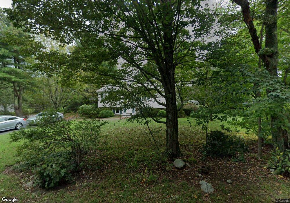
199 Beach St Wrentham, MA 02093
Estimated Value: $623,735 - $749,000
3
Beds
2
Baths
1,901
Sq Ft
$364/Sq Ft
Est. Value
About This Home
This home is located at 199 Beach St, Wrentham, MA 02093 and is currently estimated at $691,684, approximately $363 per square foot. 199 Beach St is a home located in Norfolk County with nearby schools including Delaney Elementary School, Charles E Roderick, and Discovery Daycare Center.
Ownership History
Date
Name
Owned For
Owner Type
Purchase Details
Closed on
Apr 4, 1975
Bought by
Wilmot Peter C and Wilmot Carol A
Current Estimated Value
Create a Home Valuation Report for This Property
The Home Valuation Report is an in-depth analysis detailing your home's value as well as a comparison with similar homes in the area
Purchase History
| Date | Buyer | Sale Price | Title Company |
|---|---|---|---|
| Wilmot Peter C | -- | -- |
Source: Public Records
Mortgage History
| Date | Status | Borrower | Loan Amount |
|---|---|---|---|
| Closed | Wilmot Peter C | $27,000 |
Source: Public Records
Tax History
| Year | Tax Paid | Tax Assessment Tax Assessment Total Assessment is a certain percentage of the fair market value that is determined by local assessors to be the total taxable value of land and additions on the property. | Land | Improvement |
|---|---|---|---|---|
| 2025 | $5,789 | $499,500 | $262,800 | $236,700 |
| 2024 | $5,383 | $448,600 | $262,800 | $185,800 |
| 2023 | $5,163 | $409,100 | $238,800 | $170,300 |
| 2022 | $5,166 | $377,900 | $232,200 | $145,700 |
| 2021 | $4,585 | $325,900 | $217,000 | $108,900 |
| 2020 | $4,569 | $320,600 | $165,600 | $155,000 |
| 2019 | $4,621 | $327,300 | $182,200 | $145,100 |
| 2018 | $4,571 | $321,000 | $182,400 | $138,600 |
| 2017 | $4,316 | $302,900 | $178,900 | $124,000 |
| 2016 | $4,217 | $295,300 | $173,700 | $121,600 |
| 2015 | $4,120 | $275,000 | $167,000 | $108,000 |
| 2014 | $4,049 | $264,500 | $160,600 | $103,900 |
Source: Public Records
Map
Nearby Homes
- 319 Taunton St
- 10 Earle Stewart Ln Unit Lot 5
- 3 Earle Stewart Ln
- 11 Earle Stewart Ln
- 12 Earle Stewart Ln
- 10 Nature View Dr
- 15 Nature View Dr
- 1222 South St
- 500 Franklin St
- 0 Berry St
- 160 Washington St Unit 22
- 483 Thurston St
- 18 Huntington Ave
- 613 West St
- 158 Washington St
- 126 Washington St
- 130 Washington St
- 124 Washington St
- 440 Chestnut St
- 46 Mirimichi St
Your Personal Tour Guide
Ask me questions while you tour the home.