199 Brannon Ln Jamestown, TN 38556
Estimated Value: $212,000 - $256,000
--
Bed
1
Bath
756
Sq Ft
$308/Sq Ft
Est. Value
About This Home
This home is located at 199 Brannon Ln, Jamestown, TN 38556 and is currently estimated at $232,748, approximately $307 per square foot. 199 Brannon Ln is a home located in Fentress County.
Ownership History
Date
Name
Owned For
Owner Type
Purchase Details
Closed on
Jul 29, 2025
Sold by
Davis April Brannon and Brannon April
Bought by
Crabtree Mark Anthony
Current Estimated Value
Home Financials for this Owner
Home Financials are based on the most recent Mortgage that was taken out on this home.
Original Mortgage
$224,000
Outstanding Balance
$223,562
Interest Rate
6.84%
Mortgage Type
New Conventional
Estimated Equity
$9,186
Purchase Details
Closed on
Feb 1, 2007
Sold by
Brannon Blease
Bought by
Blease Brannon
Purchase Details
Closed on
Jun 19, 2006
Sold by
Brannon Blease
Bought by
Brannon Blaine
Purchase Details
Closed on
Feb 5, 1997
Bought by
Brannon Blease and Brannon Gretta
Create a Home Valuation Report for This Property
The Home Valuation Report is an in-depth analysis detailing your home's value as well as a comparison with similar homes in the area
Home Values in the Area
Average Home Value in this Area
Purchase History
| Date | Buyer | Sale Price | Title Company |
|---|---|---|---|
| Crabtree Mark Anthony | $250,000 | None Listed On Document | |
| Blease Brannon | -- | -- | |
| Brannon Blaine | -- | -- | |
| Brannon Blease | -- | -- | |
| Brannon Blease | -- | -- |
Source: Public Records
Mortgage History
| Date | Status | Borrower | Loan Amount |
|---|---|---|---|
| Open | Crabtree Mark Anthony | $224,000 |
Source: Public Records
Tax History Compared to Growth
Tax History
| Year | Tax Paid | Tax Assessment Tax Assessment Total Assessment is a certain percentage of the fair market value that is determined by local assessors to be the total taxable value of land and additions on the property. | Land | Improvement |
|---|---|---|---|---|
| 2024 | $737 | $54,575 | $8,700 | $45,875 |
| 2023 | $737 | $54,575 | $8,700 | $45,875 |
| 2022 | $644 | $33,700 | $6,800 | $26,900 |
| 2021 | $644 | $33,700 | $6,800 | $26,900 |
| 2020 | $644 | $33,700 | $6,800 | $26,900 |
| 2019 | $644 | $33,700 | $6,800 | $26,900 |
| 2018 | $644 | $33,700 | $6,800 | $26,900 |
| 2017 | $620 | $31,250 | $5,400 | $25,850 |
| 2016 | $620 | $31,250 | $5,400 | $25,850 |
| 2015 | $620 | $31,245 | $0 | $0 |
| 2014 | $620 | $31,245 | $0 | $0 |
Source: Public Records
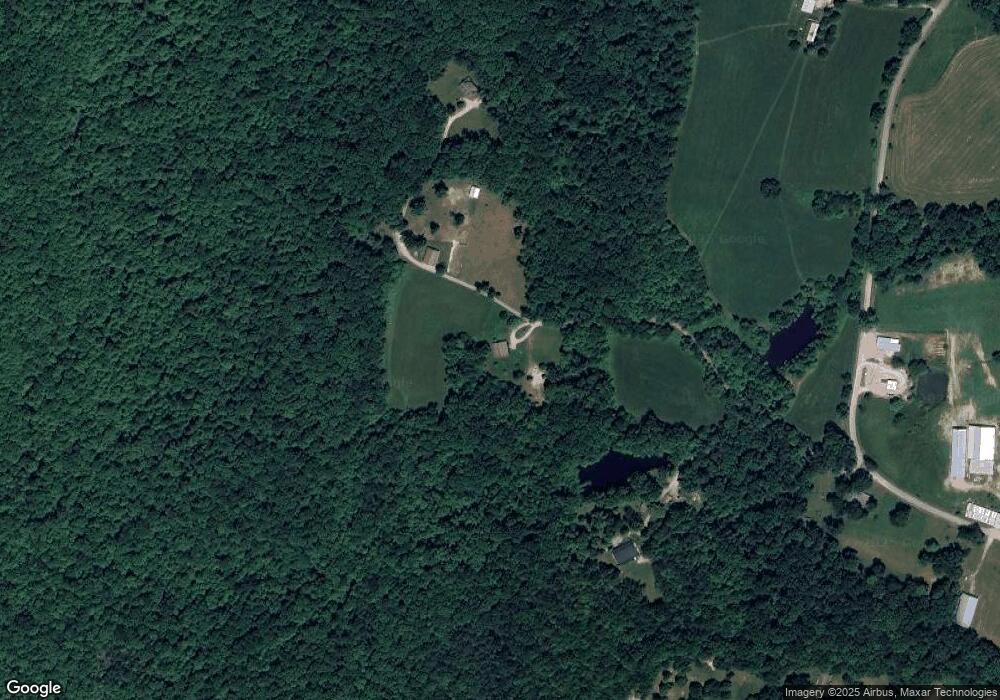
Map
Nearby Homes
- 0 Stockton Rd
- 0 13 44 Ac Chestnut Ridge Rd
- 13.44 AC Chestnut Ridge Rd
- 4676 Rugby Pike
- 0 Sam Smith Rd Unit LotWP001 23395947
- 0 Sam Smith Rd Unit RTC2865905
- 0 Sam Smith Rd Unit 236295
- 3305 Rugby Pike
- 145 Horse Haven Rd
- 3251 Rugby Pike
- 305 Griffin Ln
- 182 Stockton Chapel Rd
- 3136 Rugby Pike
- 326 Goad Mill Ln
- 54 E Ridge Rd
- 40 acres Rugby Pike
- 40 Rugby Pike
- 499 Stockton Chapel Rd
- 2702 Baseline Rd
- - Brannon Ln
- 0 Brannon Ln Unit 636039
- 234 Brannon Ln
- 101 Brannon Ln
- 4018 Stockton Rd
- 519 Mt Helen Cir
- 519 Mount Helen Cir
- 530 Mount Helen Cir
- 530 Mt Helen Cir
- 3123 Mount Helen Rd
- 3133 Mount Helen Rd
- 4125 Stockton Rd
- 3115 Mount Helen Rd
- 0 Lot 7 Mount Helen Road Rd Unit 891408
- 0 Lot 6 Mount Helen Road Rd Unit 891407
- 3105 Mount Helen Rd
- 3134 Mount Helen Rd
- 3122 Mount Helen Rd
- 3108 Mount Helen Rd
- 0 Lot 4 Mount Helen Rd Unit 891403