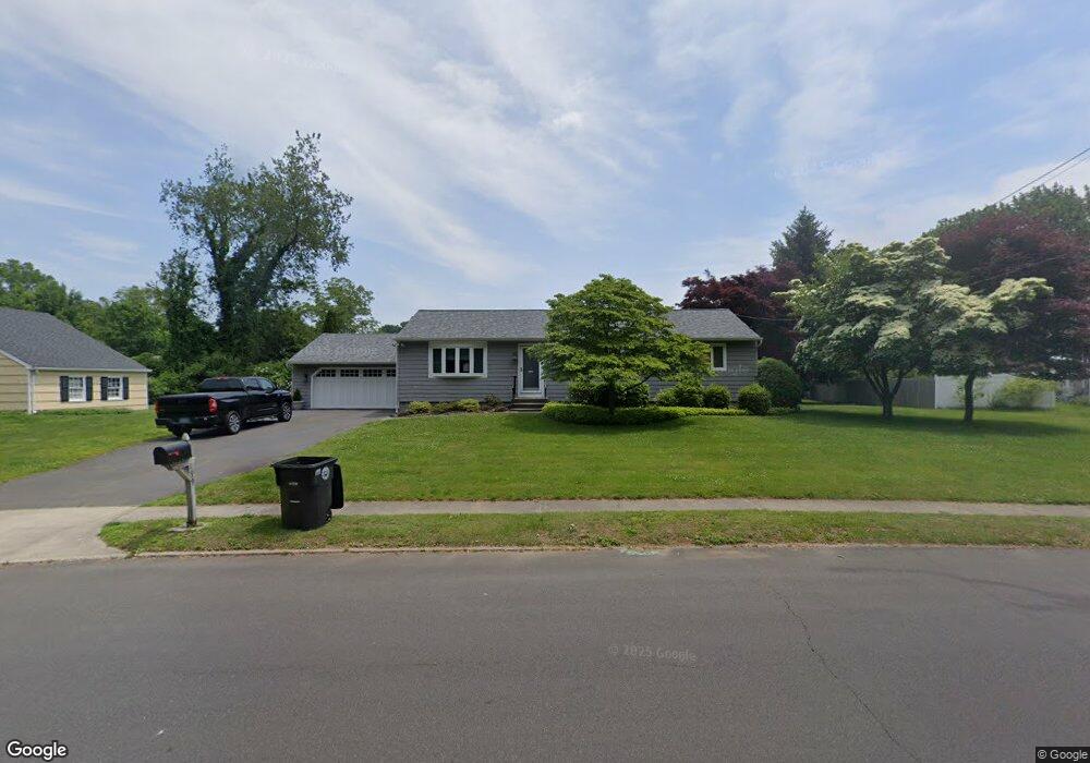
199 Brewster Rd Milford, CT 06460
Woodmont NeighborhoodEstimated Value: $498,501 - $565,000
3
Beds
2
Baths
1,251
Sq Ft
$423/Sq Ft
Est. Value
About This Home
This home is located at 199 Brewster Rd, Milford, CT 06460 and is currently estimated at $529,125, approximately $422 per square foot. 199 Brewster Rd is a home located in New Haven County with nearby schools including Live Oaks School, East Shore Middle School, and Joseph A. Foran High School.
Ownership History
Date
Name
Owned For
Owner Type
Purchase Details
Closed on
Jul 14, 2000
Sold by
Mett Dorothy C
Bought by
Foley Thomas J and Foley Martha M
Current Estimated Value
Home Financials for this Owner
Home Financials are based on the most recent Mortgage that was taken out on this home.
Original Mortgage
$72,000
Interest Rate
8.5%
Create a Home Valuation Report for This Property
The Home Valuation Report is an in-depth analysis detailing your home's value as well as a comparison with similar homes in the area
Home Values in the Area
Average Home Value in this Area
Purchase History
| Date | Buyer | Sale Price | Title Company |
|---|---|---|---|
| Foley Thomas J | $158,000 | -- | |
| Foley Thomas J | $158,000 | -- |
Source: Public Records
Mortgage History
| Date | Status | Borrower | Loan Amount |
|---|---|---|---|
| Closed | Foley Thomas J | $66,000 | |
| Closed | Foley Thomas J | $72,000 |
Source: Public Records
Tax History Compared to Growth
Tax History
| Year | Tax Paid | Tax Assessment Tax Assessment Total Assessment is a certain percentage of the fair market value that is determined by local assessors to be the total taxable value of land and additions on the property. | Land | Improvement |
|---|---|---|---|---|
| 2025 | $6,920 | $234,180 | $106,600 | $127,580 |
| 2024 | $6,824 | $234,180 | $106,600 | $127,580 |
| 2023 | $6,363 | $234,180 | $106,600 | $127,580 |
| 2022 | $6,241 | $234,180 | $106,600 | $127,580 |
| 2021 | $4,960 | $179,400 | $70,420 | $108,980 |
| 2020 | $4,966 | $179,400 | $70,420 | $108,980 |
| 2019 | $4,971 | $179,400 | $70,420 | $108,980 |
| 2018 | $4,977 | $179,400 | $70,420 | $108,980 |
| 2017 | $4,986 | $179,400 | $70,420 | $108,980 |
| 2016 | $5,451 | $195,810 | $70,420 | $125,390 |
| 2015 | $5,259 | $188,630 | $70,420 | $118,210 |
| 2014 | $5,135 | $188,630 | $70,420 | $118,210 |
Source: Public Records
Map
Nearby Homes
- 35 Whippoorwill Dr
- 583 Anderson Ave
- 36 Kenwood Rd
- 44 Columbia Dr
- 29 Meetinghouse Ln
- 99 Timber Trail
- 15 Alpha St
- 26 Riverdale Rd
- 822 New Haven Ave
- 30 Salem Walk
- 207 Merwin Ave
- 24 Ella
- 10 Sperry St
- 44 Clark Hill Rd
- 118 McQuillan Dr
- 123 McQuillan Dr
- 152 Beach Ave
- 11 Marble Ln
- 170 Kings Hwy
- 157 Kings Hwy Unit E
- 185 Brewster Rd
- 205 Brewster Rd
- 444 Ansantawae Rd
- 18 Arrowhead Dr
- 454 Ansantawae Rd
- 8 Arrowhead Dr
- 464 Ansantawae Rd
- 186 Brewster Rd
- 3 Tyler Rd
- 17 Arrowhead Dr
- 178 Brewster Rd
- 7 Arrowhead Dr
- 431 Ansantawae Rd
- 215 Brewster Rd
- 174 Settlers Ridge Rd
- 170 Brewster Rd
- 6 Tyler Rd
- 168 Settlers Ridge Rd
- 72 Whippoorwill Dr
- 414 Ansantawae Rd