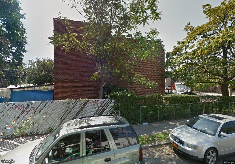
199 Crystal St Brooklyn, NY 11208
East New York NeighborhoodEstimated Value: $872,262 - $1,167,000
--
Bed
--
Bath
2,450
Sq Ft
$400/Sq Ft
Est. Value
About This Home
This home is located at 199 Crystal St, Brooklyn, NY 11208 and is currently estimated at $980,066, approximately $400 per square foot. 199 Crystal St is a home located in Kings County with nearby schools including P.S. 159 Isaac Pitkin, Brooklyn Scholars Charter School, and East Brooklyn Ascend.
Ownership History
Date
Name
Owned For
Owner Type
Purchase Details
Closed on
Aug 21, 2014
Sold by
Turner Charles M and Turner Virginia
Bought by
Turner Virginia
Current Estimated Value
Home Financials for this Owner
Home Financials are based on the most recent Mortgage that was taken out on this home.
Original Mortgage
$600,000
Outstanding Balance
$588,330
Interest Rate
4.12%
Mortgage Type
Reverse Mortgage Home Equity Conversion Mortgage
Estimated Equity
$391,736
Create a Home Valuation Report for This Property
The Home Valuation Report is an in-depth analysis detailing your home's value as well as a comparison with similar homes in the area
Home Values in the Area
Average Home Value in this Area
Purchase History
| Date | Buyer | Sale Price | Title Company |
|---|---|---|---|
| Turner Virginia | -- | -- |
Source: Public Records
Mortgage History
| Date | Status | Borrower | Loan Amount |
|---|---|---|---|
| Open | Turner Virginia | $600,000 |
Source: Public Records
Tax History Compared to Growth
Tax History
| Year | Tax Paid | Tax Assessment Tax Assessment Total Assessment is a certain percentage of the fair market value that is determined by local assessors to be the total taxable value of land and additions on the property. | Land | Improvement |
|---|---|---|---|---|
| 2025 | $5,997 | $60,660 | $19,080 | $41,580 |
| 2024 | $5,997 | $61,080 | $19,080 | $42,000 |
| 2023 | $6,064 | $64,860 | $19,080 | $45,780 |
| 2022 | $5,914 | $54,360 | $19,080 | $35,280 |
| 2021 | $4,618 | $47,520 | $19,080 | $28,440 |
| 2020 | $4,286 | $45,780 | $19,080 | $26,700 |
| 2019 | $3,944 | $44,640 | $19,080 | $25,560 |
| 2018 | $3,826 | $24,883 | $11,636 | $13,247 |
| 2017 | $4,072 | $24,693 | $13,538 | $11,155 |
| 2016 | $3,740 | $23,296 | $13,135 | $10,161 |
| 2015 | $2,218 | $21,979 | $11,696 | $10,283 |
| 2014 | $2,218 | $20,736 | $9,726 | $11,010 |
Source: Public Records
Map
Nearby Homes
- 502 Chestnut St
- 130 Crystal St
- 127 Crystal St
- 126 Crystal St
- 447 Logan St
- 545 Logan St
- 228 Milford St
- 1145 Sutter Ave
- 184 Milford St
- 430 Pine St
- 551 Euclid Ave Unit 4
- 1140 Sutter Ave
- 404 Logan St
- 406 Chestnut St
- 210 Montauk Ave
- 19 Doscher St
- 283 Montauk Ave
- 321 Milford St
- 1059 Belmont Ave
- 852 Glenmore Ave
- 203 Crystal St Unit 2
- 203 Crystal St
- 205 Crystal St
- 207 Crystal St
- 209 Crystal St
- 197 Crystal St
- 530 Chestnut St
- 211 Crystal St
- 534 Chestnut St
- 536 Chestnut St
- 193 Crystal St
- 538 Chestnut St
- 215 Crystal St
- 938 Belmont Ave Unit 4
- 945 Belmont Ave
- 540 Chestnut St
- 947 Belmont Ave
- 217 Crystal St
- 953 Belmont Ave
- 542 Chestnut St