199 Eagle Ave Umatilla, OR 97882
Estimated Value: $290,581 - $299,000
3
Beds
2
Baths
1,244
Sq Ft
$236/Sq Ft
Est. Value
About This Home
This home is located at 199 Eagle Ave, Umatilla, OR 97882 and is currently estimated at $293,645, approximately $236 per square foot. 199 Eagle Ave is a home located in Umatilla County with nearby schools including McNary Heights Elementary School, Clara Brownell Middle School, and Umatilla High School.
Ownership History
Date
Name
Owned For
Owner Type
Purchase Details
Closed on
Nov 4, 2022
Sold by
Engbretson Curtis
Bought by
Schmittle Pake W
Current Estimated Value
Home Financials for this Owner
Home Financials are based on the most recent Mortgage that was taken out on this home.
Original Mortgage
$294,566
Outstanding Balance
$285,006
Interest Rate
6.7%
Mortgage Type
FHA
Estimated Equity
$8,639
Purchase Details
Closed on
Jun 20, 2008
Sold by
Ye Jose and Ye Nilda
Bought by
Engbretson Curtis
Home Financials for this Owner
Home Financials are based on the most recent Mortgage that was taken out on this home.
Original Mortgage
$117,000
Interest Rate
6.04%
Mortgage Type
New Conventional
Create a Home Valuation Report for This Property
The Home Valuation Report is an in-depth analysis detailing your home's value as well as a comparison with similar homes in the area
Home Values in the Area
Average Home Value in this Area
Purchase History
| Date | Buyer | Sale Price | Title Company |
|---|---|---|---|
| Schmittle Pake W | $300,000 | -- | |
| Engbretson Curtis | $109,000 | Amerititle |
Source: Public Records
Mortgage History
| Date | Status | Borrower | Loan Amount |
|---|---|---|---|
| Open | Schmittle Pake W | $294,566 | |
| Previous Owner | Engbretson Curtis | $117,000 |
Source: Public Records
Tax History
| Year | Tax Paid | Tax Assessment Tax Assessment Total Assessment is a certain percentage of the fair market value that is determined by local assessors to be the total taxable value of land and additions on the property. | Land | Improvement |
|---|---|---|---|---|
| 2022 | $1,846 | $121,920 | $0 | $0 |
| 2021 | $1,842 | $118,370 | $33,700 | $84,670 |
| 2020 | $1,736 | $114,930 | $32,720 | $82,210 |
| 2018 | $1,750 | $108,340 | $30,850 | $77,490 |
| 2017 | $1,765 | $105,190 | $29,950 | $75,240 |
| 2016 | $1,765 | $102,130 | $29,080 | $73,050 |
| 2015 | $1,724 | $93,480 | $26,600 | $66,880 |
| 2014 | $1,670 | $93,480 | $26,600 | $66,880 |
Source: Public Records
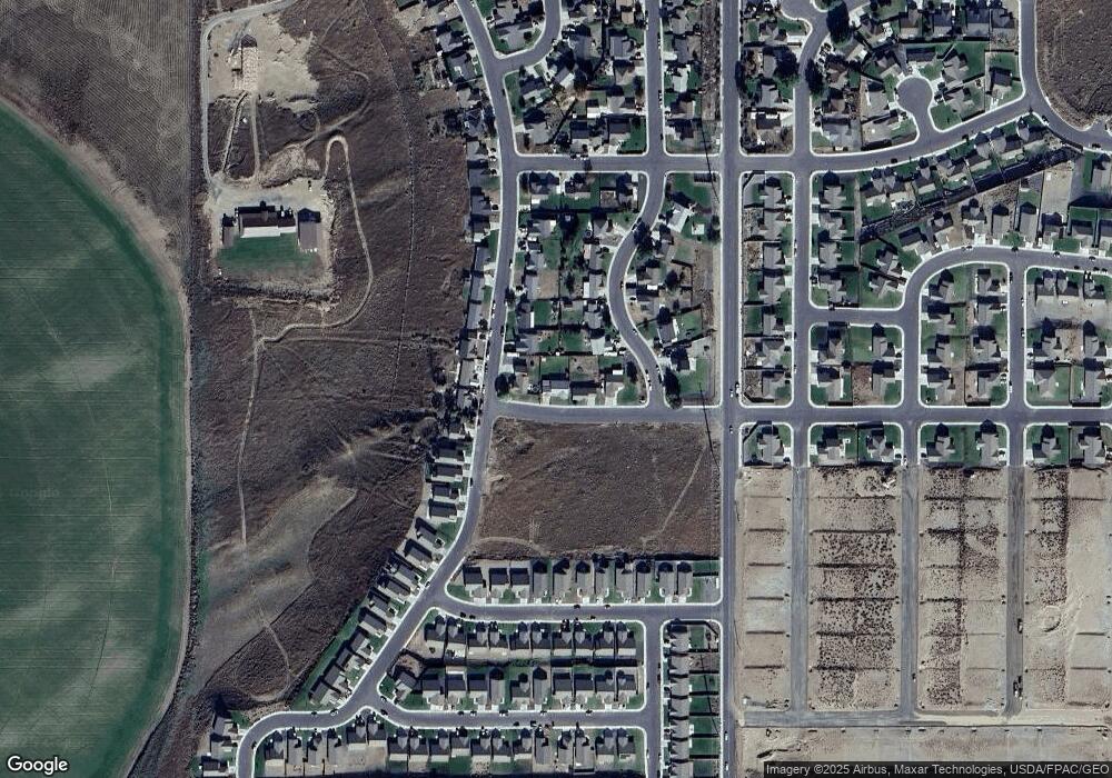
Map
Nearby Homes
- 2464 Blue Jay St
- 0 No Situs Address Unit 599410665
- 289 Dark Canyon Ave
- 398 Sparrow Ave
- 0 5n2820-00-02205 Unit 637599873
- 131 Michelle Ave
- 25 Roosevelt Ave Unit 12
- 414 Monroe St
- 370 Monroe St
- 0000 Roosevelt St Unit 7
- 1690 Hayes St Unit 32
- 1635 Hayes St
- 40 Mcfarland Ave
- 1605 Hayes St
- 225 Truman Dr
- 562 Taft St
- 514 Taft St
- Charity Premier Plan at McClannahan Summit
- Camellia Premier Plan at McClannahan Summit
- Jefferson Premier Plan at McClannahan Summit
- 211 Eagle Ave
- 2733 Pheasant Ridge St
- 2699 Pheasant Ridge St
- 2688 Blue Jay St
- 233 Eagle Ave
- 2677 Pheasant Ridge St
- 2666 Blue Jay St
- 2655 Pheasant Ridge St
- 2722 Pheasant Ridge St
- 2688 Pheasant Ridge St
- 2744 Pheasant Ridge St
- 2666 Pheasant Ridge St
- 2633 Pheasant Ridge St
- 2766 Pheasant Ridge St
- 2622 Blue Jay St
- 2768 High Desert Loop
- 2644 Pheasant Ridge St
- 2655 Blue Jay St
- 2677 Blue Jay St
Your Personal Tour Guide
Ask me questions while you tour the home.