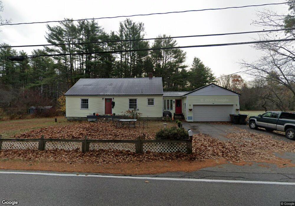
199 Heath Rd Saco, ME 04072
North Saco NeighborhoodEstimated Value: $390,511 - $535,000
2
Beds
1
Bath
1,066
Sq Ft
$408/Sq Ft
Est. Value
About This Home
This home is located at 199 Heath Rd, Saco, ME 04072 and is currently estimated at $434,878, approximately $407 per square foot. 199 Heath Rd is a home located in York County with nearby schools including C K Burns School and Saco Middle School.
Ownership History
Date
Name
Owned For
Owner Type
Purchase Details
Closed on
Jun 14, 2013
Sold by
Mecap Llc
Bought by
Lh Housing Llc
Current Estimated Value
Purchase Details
Closed on
Mar 20, 2013
Sold by
Fnma
Bought by
Mecap Llc
Purchase Details
Closed on
May 5, 2011
Sold by
New Century Hm Equity T
Bought by
Mecap Llc
Purchase Details
Closed on
Apr 28, 2011
Sold by
Crowley Michael S and New Century Mtg Corp
Bought by
New Century Mtg Corp
Create a Home Valuation Report for This Property
The Home Valuation Report is an in-depth analysis detailing your home's value as well as a comparison with similar homes in the area
Home Values in the Area
Average Home Value in this Area
Purchase History
| Date | Buyer | Sale Price | Title Company |
|---|---|---|---|
| Lh Housing Llc | -- | -- | |
| Mecap Llc | -- | -- | |
| Mecap Llc | -- | -- | |
| New Century Mtg Corp | -- | -- |
Source: Public Records
Tax History
| Year | Tax Paid | Tax Assessment Tax Assessment Total Assessment is a certain percentage of the fair market value that is determined by local assessors to be the total taxable value of land and additions on the property. | Land | Improvement |
|---|---|---|---|---|
| 2024 | $4,511 | $321,100 | $155,300 | $165,800 |
| 2023 | $4,736 | $321,100 | $155,300 | $165,800 |
| 2022 | $4,315 | $235,400 | $118,200 | $117,200 |
| 2021 | $4,140 | $219,300 | $106,900 | $112,400 |
| 2020 | $3,899 | $198,200 | $94,300 | $103,900 |
| 2019 | $3,841 | $198,200 | $94,300 | $103,900 |
| 2018 | $3,673 | $189,500 | $85,600 | $103,900 |
| 2017 | $3,537 | $182,500 | $78,600 | $103,900 |
| 2016 | $3,375 | $173,800 | $61,000 | $112,800 |
| 2015 | $3,314 | $172,400 | $61,000 | $111,400 |
| 2014 | $3,234 | $173,700 | $62,300 | $111,400 |
| 2013 | $3,227 | $173,700 | $62,300 | $111,400 |
Source: Public Records
Map
Nearby Homes
- 130 Heath Rd
- Lot 1 & 2 Memory Ln
- 181 Watson Mill Rd
- 153 Mckenney Rd
- 4 Lebanon Rd
- 3 Trapper John Rd
- 0 Simpson Rd
- 4 Primrose Ln
- 5 Moose Creek Ln
- 75 Ash Swamp Rd
- 00 Miso Way
- 1 Shamrock Dr
- 91 C Broadturn Rd
- 158 Lord Rd
- 3 Dunn Estates Dr
- 70 Beech Plains Rd
- 0 Beech Plains Rd
- Lot 72 Martell Way
- 5 Coltons Way
- 4 Spool St Unit 101
- Lot E Heath Rd
- 204 Heath Rd
- 203 Heath Rd
- 195 Heath Rd
- 191 Heath Rd
- 0 Heath Rd
- 187 Heath Rd
- 188 Heath Rd
- 0 Graceland Acres
- 185 Heath Rd
- 0 Mast Hill
- 211 Heath Rd
- 6 Graceland Acres
- 3 Acres Mast Hill Rd
- 2 Acres Mast Hill Rd
- 2 Mast Hill Rd
- 2.7acres Mast Hill Rd
- 7 Mast Hill Rd
- 184 Heath Rd
- 1.9 Acres Mast Hill Rd
Your Personal Tour Guide
Ask me questions while you tour the home.