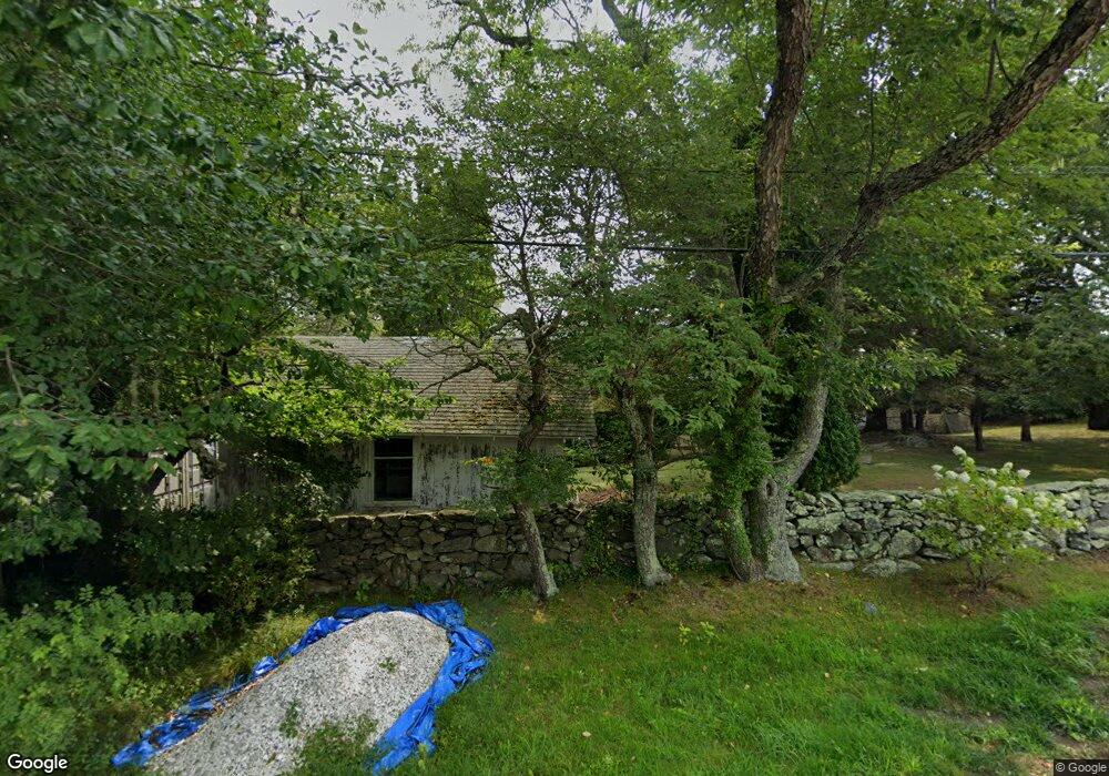
199 Lloyd Rd Saunderstown, RI 02874
Saunderstown NeighborhoodEstimated Value: $1,153,000 - $1,723,000
4
Beds
2
Baths
1,946
Sq Ft
$790/Sq Ft
Est. Value
About This Home
This home is located at 199 Lloyd Rd, Saunderstown, RI 02874 and is currently estimated at $1,536,550, approximately $789 per square foot. 199 Lloyd Rd is a home located in Washington County with nearby schools including Hamilton Elementary School, Wickford Middle School, and North Kingstown Sr. High School.
Ownership History
Date
Name
Owned For
Owner Type
Purchase Details
Closed on
Dec 30, 2002
Sold by
Mcdonough Marylyn
Bought by
Cirgenski Christopher and Cirgenski Elizabeth
Current Estimated Value
Home Financials for this Owner
Home Financials are based on the most recent Mortgage that was taken out on this home.
Original Mortgage
$521,250
Interest Rate
6.02%
Create a Home Valuation Report for This Property
The Home Valuation Report is an in-depth analysis detailing your home's value as well as a comparison with similar homes in the area
Home Values in the Area
Average Home Value in this Area
Purchase History
| Date | Buyer | Sale Price | Title Company |
|---|---|---|---|
| Cirgenski Christopher | $695,000 | -- |
Source: Public Records
Mortgage History
| Date | Status | Borrower | Loan Amount |
|---|---|---|---|
| Closed | Cirgenski Christopher | $333,581 | |
| Closed | Cirgenski Christopher | $521,250 |
Source: Public Records
Tax History Compared to Growth
Tax History
| Year | Tax Paid | Tax Assessment Tax Assessment Total Assessment is a certain percentage of the fair market value that is determined by local assessors to be the total taxable value of land and additions on the property. | Land | Improvement |
|---|---|---|---|---|
| 2025 | $17,294 | $1,566,500 | $1,219,800 | $346,700 |
| 2024 | $13,110 | $914,200 | $695,200 | $219,000 |
| 2023 | $13,110 | $914,200 | $695,200 | $219,000 |
| 2022 | $12,854 | $914,200 | $695,200 | $219,000 |
| 2021 | $12,492 | $713,800 | $534,900 | $178,900 |
| 2020 | $12,199 | $713,800 | $534,900 | $178,900 |
| 2019 | $12,199 | $713,800 | $534,900 | $178,900 |
| 2018 | $13,440 | $708,500 | $576,100 | $132,400 |
| 2017 | $13,171 | $708,500 | $576,100 | $132,400 |
| 2016 | $12,796 | $708,500 | $576,100 | $132,400 |
| 2015 | $12,767 | $661,500 | $548,800 | $112,700 |
| 2014 | $12,509 | $661,500 | $548,800 | $112,700 |
Source: Public Records
Map
Nearby Homes
- 10 Highland Rd
- 121 Seaside Dr
- 94 Spindrift St
- 174 Seaside Dr
- 21 Helm St
- 73 Oceanwoods Dr
- 31 Stanchion St
- 127 Oceanwoods Dr
- 86 Spanker St
- 2424 Tower Hill Rd
- 2180 Tower Hill Rd
- 58 Dolphin St
- 51 Salisbury Ave
- 49 Meadow Sweet Trail
- 47 Wake Robin Trail
- 625 N Main Rd
- 48 Ocean Ave
- 46 Hillside Ct
- 65 Village Hill Ln
- 398 Sampan Ave
- 70 Wilbur Hazard Rd
- 1 Quarry Rd
- 0 Quarry Rd
- 181 Lloyd Rd
- 190 Lloyd Rd
- 60 Wilbur Hazard Rd
- 73 Wilbur Hazard Rd
- 170 Lloyd Rd
- 180 Champlin Rd
- 81 Quarry Rd
- 161 Lloyd Rd
- 55 Wilbur Hazard Rd
- 40 Wilbur Hazard Rd
- 30 Curtis Rd
- 145 Lloyd Rd
- 114 Spring St
- 170 Champlin Rd
- 0 Plum Beach Rd Unit 1217869
- 137 Lloyd Rd
- 35 Curtis Rd