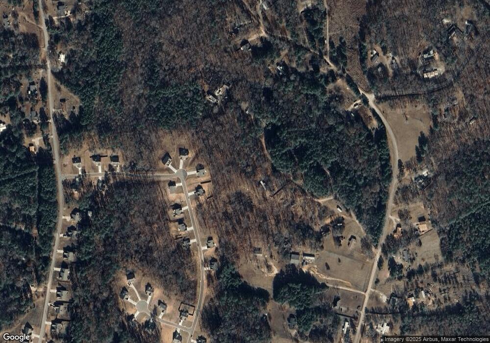
199 Morrison Ln Colbert, GA 30628
Estimated Value: $109,000 - $244,000
2
Beds
1
Bath
912
Sq Ft
$208/Sq Ft
Est. Value
About This Home
This home is located at 199 Morrison Ln, Colbert, GA 30628 and is currently estimated at $190,008, approximately $208 per square foot. 199 Morrison Ln is a home with nearby schools including Madison County High School.
Ownership History
Date
Name
Owned For
Owner Type
Purchase Details
Closed on
Sep 7, 2007
Sold by
Morrison Michael J
Bought by
Pitts Linda F
Current Estimated Value
Home Financials for this Owner
Home Financials are based on the most recent Mortgage that was taken out on this home.
Original Mortgage
$57,000
Outstanding Balance
$35,553
Interest Rate
6.55%
Mortgage Type
New Conventional
Estimated Equity
$154,455
Purchase Details
Closed on
Sep 20, 1999
Sold by
Kerr Alger and Kerr Shirley
Bought by
Morrison Michael and Morrison B
Purchase Details
Closed on
Jun 4, 1999
Sold by
Morrison Michael J
Bought by
Kerr Alger and Kerr Shirley
Purchase Details
Closed on
Aug 5, 1997
Sold by
Madison County Boc
Bought by
Morrison Michael J
Purchase Details
Closed on
Jan 1, 1993
Bought by
Madison County Boc
Create a Home Valuation Report for This Property
The Home Valuation Report is an in-depth analysis detailing your home's value as well as a comparison with similar homes in the area
Purchase History
| Date | Buyer | Sale Price | Title Company |
|---|---|---|---|
| Pitts Linda F | $77,000 | -- | |
| Morrison Michael | -- | -- | |
| Kerr Alger | -- | -- | |
| Morrison Michael J | -- | -- | |
| Madison County Boc | -- | -- |
Source: Public Records
Mortgage History
| Date | Status | Borrower | Loan Amount |
|---|---|---|---|
| Open | Pitts Linda F | $57,000 |
Source: Public Records
Tax History
| Year | Tax Paid | Tax Assessment Tax Assessment Total Assessment is a certain percentage of the fair market value that is determined by local assessors to be the total taxable value of land and additions on the property. | Land | Improvement |
|---|---|---|---|---|
| 2025 | $1,360 | $55,543 | $14,961 | $40,582 |
| 2024 | $1,358 | $54,181 | $14,961 | $39,220 |
| 2023 | $1,494 | $48,934 | $12,467 | $36,467 |
| 2022 | $1,058 | $40,362 | $8,572 | $31,790 |
| 2021 | $919 | $32,102 | $8,572 | $23,530 |
| 2020 | $887 | $30,855 | $7,325 | $23,530 |
| 2019 | $879 | $30,277 | $7,325 | $22,952 |
| 2018 | $836 | $28,816 | $6,702 | $22,114 |
| 2017 | $807 | $28,026 | $6,234 | $21,792 |
| 2016 | $633 | $24,061 | $5,824 | $18,237 |
| 2015 | $633 | $24,061 | $5,824 | $18,237 |
| 2014 | $631 | $23,833 | $5,957 | $17,876 |
| 2013 | -- | $24,507 | $6,631 | $17,876 |
Source: Public Records
Map
Nearby Homes
- 142 Rolling Woods Ln Unit 29
- 142 Rolling Woods Ln
- 1330 McCannon-morris Rd
- 162 Brittany Pointe Dr
- 1618 McCannon Morris Rd
- 8576 Highway 72 W
- 489 Childers Rd
- 0 Spratlin Mill Dr Unit 7665837
- 0 Spratlin Mill Dr Unit LOT 14-C
- 1 Lem Edwards Rd
- 2 Lem Edwards Rd
- 75 Madison Ave
- 00 Spratlin Mill Rd
- 210 Joe Graham Rd
- 151 Rolling Woods Ln
- 1175 Diamond Hill Colbert Rd
- 120 Grace Ln Unit 6
- 176 Grace Ln Unit 5
- 2596 Hardman Morris Rd
- 240 Glenn Carrie Rd Unit 2
- 156 Morrison Ln
- 287 Morrison Ln
- 703 Jack Sharp Rd
- 707 Jack Sharp Rd
- 165 John Sharp Rd
- 165 John Sharp Rd Unit 1
- 820 Jack Sharp Rd
- 111 John Sharp Rd
- 61 John Sharp Rd
- 0 John Sharp Rd
- none Jack Sharp Rd
- 631 Jack Sharp Rd Unit A
- 631 Jack Sharp Rd
- 687 Jack Sharp Rd
- 606 Jack Sharp Rd
- 118 John Sharp Rd
- 758 Jack Sharp Rd
- 710 McCannon Morris Rd Unit 34
- 760 McCannon Morris Rd
- 740 McCannon Morris Rd Unit 33
Your Personal Tour Guide
Ask me questions while you tour the home.
