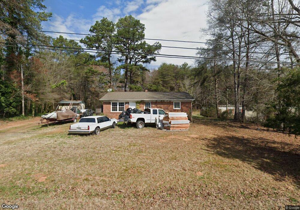
199 Nicholson Rd Lincolnton, NC 28092
Estimated Value: $147,000 - $214,000
3
Beds
1
Bath
1,076
Sq Ft
$164/Sq Ft
Est. Value
About This Home
This home is located at 199 Nicholson Rd, Lincolnton, NC 28092 and is currently estimated at $176,395, approximately $163 per square foot. 199 Nicholson Rd is a home located in Lincoln County with nearby schools including Battleground Elementary School, Lincolnton Middle School, and Lincolnton High School.
Ownership History
Date
Name
Owned For
Owner Type
Purchase Details
Closed on
Jan 31, 2014
Sold by
White John R and White Diana T
Bought by
Singletary Tamatha H
Current Estimated Value
Purchase Details
Closed on
Feb 3, 2006
Sold by
Nicholson Eleanor
Bought by
White John R and White William E
Home Financials for this Owner
Home Financials are based on the most recent Mortgage that was taken out on this home.
Original Mortgage
$52,000
Interest Rate
6.21%
Mortgage Type
Purchase Money Mortgage
Create a Home Valuation Report for This Property
The Home Valuation Report is an in-depth analysis detailing your home's value as well as a comparison with similar homes in the area
Home Values in the Area
Average Home Value in this Area
Purchase History
| Date | Buyer | Sale Price | Title Company |
|---|---|---|---|
| Singletary Tamatha H | $31,000 | None Available | |
| White John R | $52,000 | None Available |
Source: Public Records
Mortgage History
| Date | Status | Borrower | Loan Amount |
|---|---|---|---|
| Previous Owner | White John R | $52,000 |
Source: Public Records
Tax History Compared to Growth
Tax History
| Year | Tax Paid | Tax Assessment Tax Assessment Total Assessment is a certain percentage of the fair market value that is determined by local assessors to be the total taxable value of land and additions on the property. | Land | Improvement |
|---|---|---|---|---|
| 2025 | $796 | $108,591 | $22,281 | $86,310 |
| 2024 | $776 | $108,591 | $22,281 | $86,310 |
| 2023 | $755 | $108,591 | $22,281 | $86,310 |
| 2022 | $628 | $72,313 | $18,603 | $53,710 |
| 2021 | $613 | $72,313 | $18,603 | $53,710 |
| 2020 | $484 | $72,313 | $18,603 | $53,710 |
| 2019 | $484 | $72,313 | $18,603 | $53,710 |
| 2018 | $543 | $62,695 | $13,278 | $49,417 |
| 2017 | $408 | $62,695 | $13,278 | $49,417 |
| 2016 | $408 | $62,695 | $13,278 | $49,417 |
| 2015 | $501 | $62,695 | $13,278 | $49,417 |
| 2014 | $548 | $73,496 | $20,000 | $53,496 |
Source: Public Records
Map
Nearby Homes
- 3124 Banks St
- 214 Springhill Ln
- 211 Golf Course Rd
- 772 Car Farm Rd
- 1723 Ivey Ct
- 00 Sunrise Trail
- 1410 Hickory Nut Ln
- Lot 72 & 73 Meandering Ln Unit 72 & 73
- 00 Meandering Ln
- 980 Lakeland Ave
- 134 Gibbs Cir
- 1484 Null Rd
- 1670 Buck Oak Rd
- 207 S 5th Ave
- 1109 E Main St
- 00 Clearview Ln
- 1540 Null Rd
- 720 E Main St
- 1 Clearview Ln
- 1426 John Lutz Cir
- 207 Nicholson Rd Unit 29
- 217 Nicholson Rd
- 208 Nicholson Rd
- 221 Nicholson Rd
- 184 Nicholson Rd
- 229 Nicholson Rd
- 159 Nicholson Rd
- 159 Nicholson Rd Unit 24
- 240 Nicholson Rd
- 195 Springs East Rd
- 127 Nicholson Rd
- 206 Springs East Rd
- 222 Springs East Rd
- 222 Spring Rd
- 222 E Springs Rd
- 222 Springs Rd E
- 234 Springs East Rd
- 158 Springs East Rd
- 317 Long Meadow Ln
- 3042 Livingstone Trail Unit 44