199 Pheasant Ridge Dr Montrose, MN 55363
Estimated Value: $318,000 - $332,000
4
Beds
2
Baths
1,022
Sq Ft
$316/Sq Ft
Est. Value
About This Home
This home is located at 199 Pheasant Ridge Dr, Montrose, MN 55363 and is currently estimated at $323,445, approximately $316 per square foot. 199 Pheasant Ridge Dr is a home located in Wright County with nearby schools including Montrose Elementary School, Buffalo Community Middle School, and Buffalo Senior High School.
Ownership History
Date
Name
Owned For
Owner Type
Purchase Details
Closed on
Aug 11, 2006
Sold by
Villamil Julio
Bought by
Not Provided
Current Estimated Value
Purchase Details
Closed on
Oct 30, 2001
Sold by
Shade Tree Construction Inc
Bought by
Villamil Julio
Purchase Details
Closed on
Jun 1, 2001
Sold by
Trison Development Inc
Bought by
Shade Tree Construction Inc
Create a Home Valuation Report for This Property
The Home Valuation Report is an in-depth analysis detailing your home's value as well as a comparison with similar homes in the area
Home Values in the Area
Average Home Value in this Area
Purchase History
| Date | Buyer | Sale Price | Title Company |
|---|---|---|---|
| Not Provided | $190,000 | -- | |
| Villamil Julio | $147,650 | -- | |
| Shade Tree Construction Inc | $243,000 | -- |
Source: Public Records
Tax History Compared to Growth
Tax History
| Year | Tax Paid | Tax Assessment Tax Assessment Total Assessment is a certain percentage of the fair market value that is determined by local assessors to be the total taxable value of land and additions on the property. | Land | Improvement |
|---|---|---|---|---|
| 2025 | $3,688 | $307,500 | $65,000 | $242,500 |
| 2024 | $3,388 | $299,100 | $65,000 | $234,100 |
| 2023 | $3,390 | $301,500 | $81,000 | $220,500 |
| 2022 | $3,178 | $278,200 | $72,000 | $206,200 |
| 2021 | $2,996 | $227,300 | $40,000 | $187,300 |
| 2020 | $2,962 | $210,700 | $35,000 | $175,700 |
| 2019 | $2,588 | $204,800 | $0 | $0 |
| 2018 | $2,298 | $167,100 | $0 | $0 |
| 2017 | $2,094 | $148,800 | $0 | $0 |
| 2016 | $1,984 | $0 | $0 | $0 |
| 2015 | $1,926 | $0 | $0 | $0 |
| 2014 | -- | $0 | $0 | $0 |
Source: Public Records
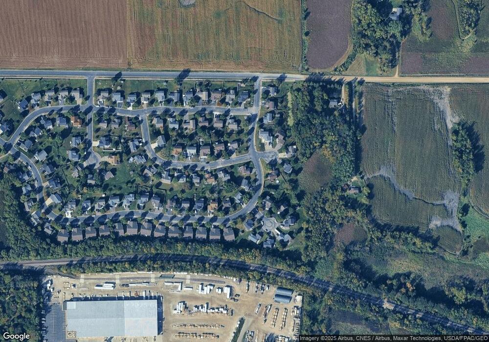
Map
Nearby Homes
- 150 Pheasant Ridge Dr
- 137 Pheasant Ridge Dr
- 426 Dillon Ave N
- 301 Center Ave S
- 149 Mindy Ln
- 161 Mindy Ln Unit 9
- 610 Emerson Ave N
- 703 7th St N
- 517 2nd St S
- 726 7th St N
- 305 Garfield Ave S
- 684 Aspen Ln
- 643 Fieldcrest Ave N
- 935 Aspen Ln
- 645 Fieldcrest Ave N
- 690 Aspen Ln
- 683 Aspen Ln
- 692 Aspen Ln
- 685 Aspen Ln
- 687 Aspen Ln
- 197 Pheasant Ridge Dr
- 214 Ringneck Dr
- 211 Ringneck Dr
- 195 Pheasant Ridge Dr
- 252 Ringneck Cir
- 209 Ringneck Dr
- 212 Ringneck Dr
- 193 Pheasant Ridge Dr
- 251 Ringneck Cir
- 207 Ringneck Dr
- 226 Quail Dr
- 189 Pheasant Ridge Dr
- 210 Ringneck Dr
- 254 Ringneck Cir
- 224 Quail Dr
- 150 Grouse Cir
- 255 Ringneck Cir
- 253 Ringneck Cir
- 183 Pheasant Ridge Dr
- 153 Grouse Cir