199 Pheasant Ridge Polson, MT 59860
Estimated Value: $834,000 - $1,780,000
3
Beds
3
Baths
2,338
Sq Ft
$492/Sq Ft
Est. Value
About This Home
This home is located at 199 Pheasant Ridge, Polson, MT 59860 and is currently estimated at $1,149,438, approximately $491 per square foot. 199 Pheasant Ridge is a home with nearby schools including Cherry Valley School, Linderman Elementary School, and Polson Middle School (7-8).
Ownership History
Date
Name
Owned For
Owner Type
Purchase Details
Closed on
Oct 27, 2021
Bought by
Harmon Shawn M and Allen Joshua J
Current Estimated Value
Purchase Details
Closed on
May 19, 2015
Sold by
Mckenna Timothy J and Mckenna Jeanne M
Purchase Details
Closed on
Apr 13, 2007
Sold by
Mckenna Timothy and Mckenna Jeanne M
Bought by
Mckenna Timothy J and Mckenna Jeanne M
Purchase Details
Closed on
Dec 18, 2006
Sold by
Northwest Holdings Llc
Bought by
Mckenna Timothy and Mckenna Jeanne M
Create a Home Valuation Report for This Property
The Home Valuation Report is an in-depth analysis detailing your home's value as well as a comparison with similar homes in the area
Home Values in the Area
Average Home Value in this Area
Purchase History
| Date | Buyer | Sale Price | Title Company |
|---|---|---|---|
| Harmon Shawn M | -- | None Available | |
| -- | -- | None Available | |
| Mckenna Timothy J | -- | None Available | |
| Mckenna Timothy | -- | None Available | |
| Northwest Holdings Llc | -- | None Available |
Source: Public Records
Tax History
| Year | Tax Paid | Tax Assessment Tax Assessment Total Assessment is a certain percentage of the fair market value that is determined by local assessors to be the total taxable value of land and additions on the property. | Land | Improvement |
|---|---|---|---|---|
| 2025 | $4,610 | $821,500 | $0 | $0 |
| 2024 | $5,342 | $656,900 | $0 | $0 |
| 2023 | $4,967 | $656,900 | $0 | $0 |
| 2022 | $4,086 | $455,000 | $0 | $0 |
| 2021 | $4,202 | $455,000 | $0 | $0 |
| 2020 | $4,122 | $415,400 | $0 | $0 |
| 2019 | $4,176 | $415,400 | $0 | $0 |
| 2018 | $3,998 | $401,400 | $0 | $0 |
| 2017 | $2,643 | $282,680 | $0 | $0 |
| 2016 | $1,310 | $139,820 | $0 | $0 |
| 2015 | $1,259 | $139,820 | $0 | $0 |
| 2014 | -- | $114,069 | $0 | $0 |
Source: Public Records
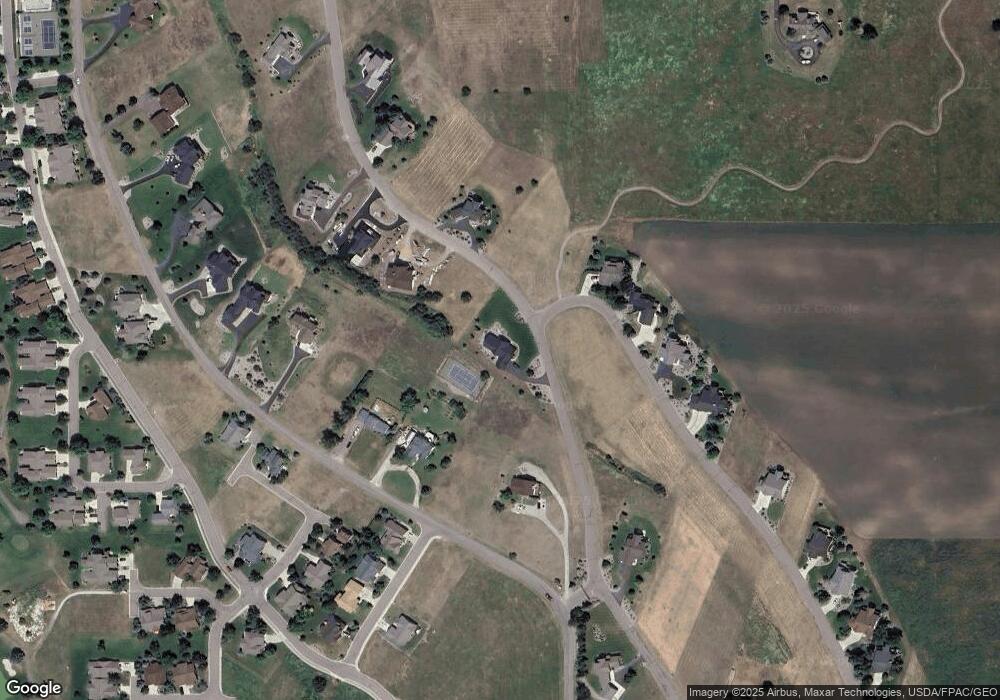
Map
Nearby Homes
- 212 Pheasant Ridge Ln
- 108 Marias St
- Lot 5 Hawk Dr
- 189 Pheasant Ridge
- 102 Marias St
- 100 Reliance Landing
- 114 Red Tail Rd
- 116 Red Tail Rd
- 105 Gallatin St
- 213 Pheasant Ridge
- LOT 34 Tundra Swan Way
- Nhn Montana Landing
- 227 Pheasant Ridge
- 403 White Fox Run
- 107 Kari Ln
- 103 Eagle Dr
- 111 Gwenda Ln Unit B
- 109 Gwenda Ln Unit A
- 115 Gwenda Ln Unit B
- 113 Gwenda Ln Unit A
- 197 Pheasant Ridge Ln Unit (Lot 2)
- 197 Pheasant Ridge Unit (Lot 2)
- 197 Pheasant Ridge
- 197 Pheasant Ridge Ln
- 6S Hawk Dr
- 6 Hawk Dr
- 17 Hawk Dr
- 444 Hawk Dr
- 195 Pheasant Ridge Ln Unit (Lot 3)
- 195 Pheasant Ridge Unit (Lot 3)
- 195 Pheasant Ridge
- 195 Pheasant Ridge Ln
- 102 Red Tail Rd
- 102 Red Tail Rd Unit Mission Bay Preserve
- 102 Redtail Rd
- 372 Hawk Dr
- 468 Hawk Dr
- 196 Pheasant Ridge Unit (Lot 23)
- 196 Pheasant Ridge
- Lot 22 Pheasant Ridge
Your Personal Tour Guide
Ask me questions while you tour the home.