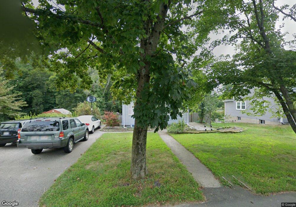
199 Plain St Millis, MA 02054
Estimated Value: $495,164 - $572,000
3
Beds
1
Bath
1,152
Sq Ft
$466/Sq Ft
Est. Value
About This Home
This home is located at 199 Plain St, Millis, MA 02054 and is currently estimated at $537,291, approximately $466 per square foot. 199 Plain St is a home located in Norfolk County with nearby schools including Clyde F Brown, Millis Middle School, and Millis High School.
Ownership History
Date
Name
Owned For
Owner Type
Purchase Details
Closed on
Jul 30, 1997
Sold by
Begley David J and Begley Lisa J
Bought by
Cerullo Robert A and Cerullo Marianne
Current Estimated Value
Home Financials for this Owner
Home Financials are based on the most recent Mortgage that was taken out on this home.
Original Mortgage
$133,640
Interest Rate
7.55%
Mortgage Type
Purchase Money Mortgage
Purchase Details
Closed on
Oct 14, 1992
Sold by
Piccinin Robert R
Bought by
Chase Home Mtg Corp
Create a Home Valuation Report for This Property
The Home Valuation Report is an in-depth analysis detailing your home's value as well as a comparison with similar homes in the area
Home Values in the Area
Average Home Value in this Area
Purchase History
| Date | Buyer | Sale Price | Title Company |
|---|---|---|---|
| Cerullo Robert A | $135,000 | -- | |
| Chase Home Mtg Corp | $61,392 | -- |
Source: Public Records
Mortgage History
| Date | Status | Borrower | Loan Amount |
|---|---|---|---|
| Open | Chase Home Mtg Corp | $186,050 | |
| Closed | Chase Home Mtg Corp | $34,000 | |
| Closed | Chase Home Mtg Corp | $133,640 |
Source: Public Records
Tax History
| Year | Tax Paid | Tax Assessment Tax Assessment Total Assessment is a certain percentage of the fair market value that is determined by local assessors to be the total taxable value of land and additions on the property. | Land | Improvement |
|---|---|---|---|---|
| 2025 | $7,201 | $439,100 | $221,300 | $217,800 |
| 2024 | $6,716 | $409,000 | $204,300 | $204,700 |
| 2023 | $6,312 | $360,900 | $162,800 | $198,100 |
| 2022 | $6,468 | $342,600 | $174,700 | $167,900 |
| 2021 | $5,904 | $300,900 | $151,000 | $149,900 |
| 2020 | $5,748 | $285,400 | $141,100 | $144,300 |
| 2019 | $4,985 | $266,600 | $126,500 | $140,100 |
| 2018 | $4,804 | $266,600 | $126,500 | $140,100 |
| 2017 | $4,310 | $234,000 | $106,900 | $127,100 |
| 2016 | $4,081 | $234,000 | $106,900 | $127,100 |
| 2015 | $3,978 | $234,000 | $106,900 | $127,100 |
Source: Public Records
Map
Nearby Homes
- 195 Plain St
- 207 Plain St
- 5 Monroe St
- 7 Forest Rd
- 5 Forest Rd
- 3 Forest Rd
- 3 Forest Rd Unit 3
- 5 Forest Rd Unit 5,1
- 215 Plain St
- 174A Plain St
- 177 Plain St
- 233 Plain St
- 9 Forest Rd
- 224 Plain St
- 171 Plain St
- 171 Plain St Unit 2
- 171 Plain St Unit 1
- 87 Monroe St Unit 18
- 85 Monroe St Unit 17
- 79 Monroe St Unit 15
Your Personal Tour Guide
Ask me questions while you tour the home.