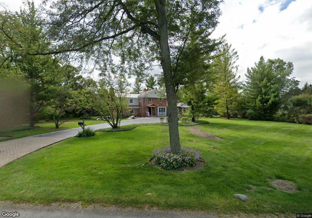
199 W Onwentsia Rd Lake Forest, IL 60045
Estimated Value: $1,336,000 - $1,539,507
4
Beds
4
Baths
3,793
Sq Ft
$368/Sq Ft
Est. Value
About This Home
This home is located at 199 W Onwentsia Rd, Lake Forest, IL 60045 and is currently estimated at $1,396,877, approximately $368 per square foot. 199 W Onwentsia Rd is a home located in Lake County with nearby schools including Deer Path Middle School East, Cherokee Elementary School, and Lake Forest High School.
Ownership History
Date
Name
Owned For
Owner Type
Purchase Details
Closed on
Sep 5, 1997
Sold by
Merritt John B and Merritt Madonna S
Bought by
Weinberger Kenneth J and Weinberger Barbara A
Current Estimated Value
Home Financials for this Owner
Home Financials are based on the most recent Mortgage that was taken out on this home.
Original Mortgage
$560,000
Outstanding Balance
$82,233
Interest Rate
6.87%
Estimated Equity
$1,314,644
Create a Home Valuation Report for This Property
The Home Valuation Report is an in-depth analysis detailing your home's value as well as a comparison with similar homes in the area
Home Values in the Area
Average Home Value in this Area
Purchase History
| Date | Buyer | Sale Price | Title Company |
|---|---|---|---|
| Weinberger Kenneth J | $553,333 | Chicago Title Insurance Co |
Source: Public Records
Mortgage History
| Date | Status | Borrower | Loan Amount |
|---|---|---|---|
| Open | Weinberger Kenneth J | $560,000 |
Source: Public Records
Tax History Compared to Growth
Tax History
| Year | Tax Paid | Tax Assessment Tax Assessment Total Assessment is a certain percentage of the fair market value that is determined by local assessors to be the total taxable value of land and additions on the property. | Land | Improvement |
|---|---|---|---|---|
| 2024 | $23,914 | $460,094 | $141,909 | $318,185 |
| 2023 | $19,442 | $397,792 | $122,693 | $275,099 |
| 2022 | $19,442 | $359,376 | $126,127 | $233,249 |
| 2021 | $18,327 | $346,486 | $121,603 | $224,883 |
| 2020 | $17,845 | $347,215 | $121,859 | $225,356 |
| 2019 | $17,249 | $346,626 | $121,652 | $224,974 |
| 2018 | $16,407 | $324,777 | $128,941 | $195,836 |
| 2017 | $16,244 | $323,741 | $128,530 | $195,211 |
| 2016 | $15,736 | $311,499 | $123,670 | $187,829 |
| 2015 | $15,466 | $300,628 | $116,198 | $184,430 |
| 2014 | $18,109 | $339,818 | $117,029 | $222,789 |
| 2012 | $17,488 | $336,821 | $115,997 | $220,824 |
Source: Public Records
Map
Nearby Homes
- 27 W Onwentsia Rd
- 51 Sequoia Ct
- 390 S Basswood Rd
- 560 Jacqulyn Ln
- 51 Heron Rd
- 510 Buena Rd
- 210 Majestic Oak Ct
- 262 E Foster Place
- 261 E Onwentsia Rd
- 50 S Orchard Cir
- 355 Hickory Ct
- 740 W Tamarack Trail
- 725 W Tamarack Trail
- 765 W Tamarack Trail
- 755 W Tamarack Trail
- Lot 5 Whitehall Ln
- Lot 7 Whitehall Ln
- Lot 8 Whitehall Ln
- Lot 6 Whitehall Ln
- Lot 9 Whitehall Ln
- 165 W Onwentsia Rd
- 227 W Onwentsia Rd
- 200 S Poplar Rd
- 170 S Poplar Rd
- 230 S Poplar Rd
- 184 W Onwentsia Rd
- 230 W Onwentsia Rd
- 133 W Onwentsia Rd
- 263 W Onwentsia Rd
- 160 S Basswood Rd
- 150 W Onwentsia Rd
- 145 S Poplar Rd
- 175 S Poplar Rd
- 135 S Poplar Rd
- 195 S Poplar Rd
- 215 S Poplar Rd
- 250 W Onwentsia Rd
- 235 S Poplar Rd
- 110 W Onwentsia Rd
- 140 S Basswood Rd