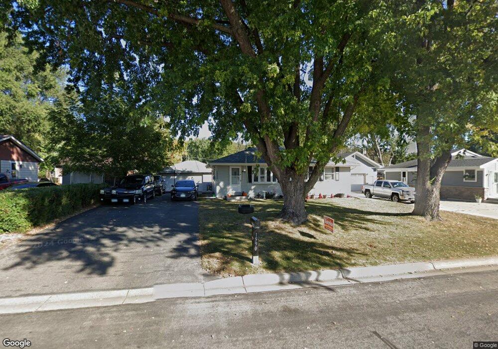
1990 8th Ave Newport, MN 55055
Estimated Value: $285,000 - $319,880
3
Beds
2
Baths
1,014
Sq Ft
$297/Sq Ft
Est. Value
About This Home
This home is located at 1990 8th Ave, Newport, MN 55055 and is currently estimated at $300,970, approximately $296 per square foot. 1990 8th Ave is a home located in Washington County with nearby schools including Newport Elementary School, Oltman Middle School, and East Ridge High School.
Ownership History
Date
Name
Owned For
Owner Type
Purchase Details
Closed on
May 15, 2015
Sold by
Thomsen Jenny
Bought by
Koshenina Amber M and Mailand Lucas C
Current Estimated Value
Home Financials for this Owner
Home Financials are based on the most recent Mortgage that was taken out on this home.
Original Mortgage
$140,650
Outstanding Balance
$108,352
Interest Rate
3.68%
Mortgage Type
New Conventional
Estimated Equity
$192,618
Purchase Details
Closed on
Jan 7, 2015
Sold by
Thomsen Jenny
Bought by
Wells Fargo Bank Na
Purchase Details
Closed on
Mar 25, 2009
Sold by
Aurora Loan Services Llc
Bought by
Thomsen Jenny
Home Financials for this Owner
Home Financials are based on the most recent Mortgage that was taken out on this home.
Original Mortgage
$116,844
Interest Rate
5.19%
Mortgage Type
FHA
Purchase Details
Closed on
Sep 30, 1997
Sold by
Janssen David and Janssen Denise
Bought by
Fronkfurth Eugene R and Fronkfurth Rochelle R
Create a Home Valuation Report for This Property
The Home Valuation Report is an in-depth analysis detailing your home's value as well as a comparison with similar homes in the area
Home Values in the Area
Average Home Value in this Area
Purchase History
| Date | Buyer | Sale Price | Title Company |
|---|---|---|---|
| Koshenina Amber M | $145,000 | Title Recording Svcs | |
| Wells Fargo Bank Na | $115,268 | None Available | |
| Thomsen Jenny | $119,000 | -- | |
| Fronkfurth Eugene R | $95,000 | -- |
Source: Public Records
Mortgage History
| Date | Status | Borrower | Loan Amount |
|---|---|---|---|
| Open | Koshenina Amber M | $140,650 | |
| Previous Owner | Thomsen Jenny | $116,844 |
Source: Public Records
Tax History Compared to Growth
Tax History
| Year | Tax Paid | Tax Assessment Tax Assessment Total Assessment is a certain percentage of the fair market value that is determined by local assessors to be the total taxable value of land and additions on the property. | Land | Improvement |
|---|---|---|---|---|
| 2024 | $3,806 | $278,700 | $85,000 | $193,700 |
| 2023 | $3,806 | $283,700 | $100,000 | $183,700 |
| 2022 | $3,490 | $259,100 | $94,100 | $165,000 |
| 2021 | $3,384 | $213,500 | $78,000 | $135,500 |
| 2020 | $2,984 | $210,700 | $80,000 | $130,700 |
| 2019 | $2,954 | $182,500 | $50,000 | $132,500 |
| 2018 | $2,886 | $172,900 | $50,000 | $122,900 |
| 2017 | $2,406 | $166,000 | $47,000 | $119,000 |
| 2016 | $2,420 | $140,600 | $35,000 | $105,600 |
| 2015 | -- | $123,300 | $38,000 | $85,300 |
| 2013 | -- | $118,000 | $36,000 | $82,000 |
Source: Public Records
Map
Nearby Homes
- 1761 8th Ave
- 2250 Larry Ln
- 1493 3rd Ave
- 1523 Cedar Ln
- 1391 12th Ave
- 1530 Burg Ave
- 1012 Catherine Dr
- 6287 Crackleberry Trail
- 1081 Oakwood Rd
- 1403 Concord St S Unit 15
- 6254 61st St S
- 6248 61st St S
- 6253 61st St S
- 6266 61st St S
- 6265 61st St S
- 6260 61st St S
- 6162 Goodwin Ave N
- 6720 Crackleberry Trail
- 15016 Ashtown Ln
- 6135 Goodwin Ave S