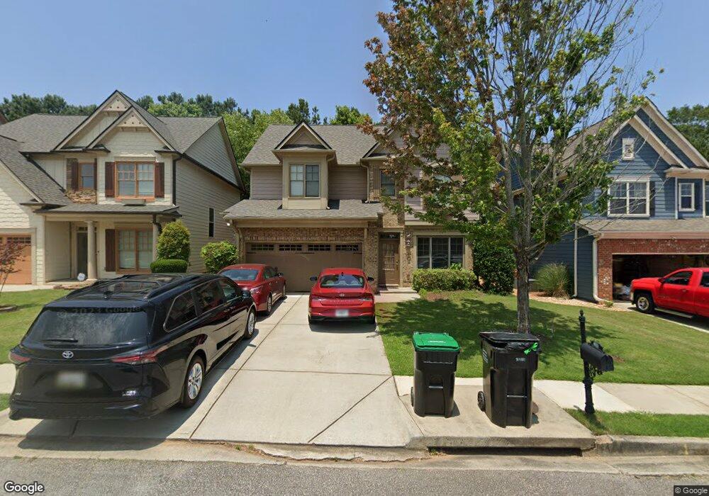
1990 Harvest Ridge Cir Buford, GA 30519
Estimated Value: $427,000 - $454,000
3
Beds
3
Baths
2,144
Sq Ft
$205/Sq Ft
Est. Value
About This Home
This home is located at 1990 Harvest Ridge Cir, Buford, GA 30519 and is currently estimated at $440,422, approximately $205 per square foot. 1990 Harvest Ridge Cir is a home located in Gwinnett County with nearby schools including Harmony Elementary School, Glenn C. Jones Middle School, and Sugar Hill Christian Academy.
Ownership History
Date
Name
Owned For
Owner Type
Purchase Details
Closed on
Jun 13, 2017
Sold by
Gates Robert Ashley
Bought by
Tran Quoc Suong D and Truong Thanh Thuy H
Current Estimated Value
Home Financials for this Owner
Home Financials are based on the most recent Mortgage that was taken out on this home.
Original Mortgage
$160,000
Outstanding Balance
$83,950
Interest Rate
4.02%
Mortgage Type
New Conventional
Estimated Equity
$356,473
Purchase Details
Closed on
Sep 19, 2008
Sold by
Bowen Family Homes Inc
Bought by
Gates Robert A
Home Financials for this Owner
Home Financials are based on the most recent Mortgage that was taken out on this home.
Original Mortgage
$213,929
Interest Rate
6.49%
Mortgage Type
FHA
Create a Home Valuation Report for This Property
The Home Valuation Report is an in-depth analysis detailing your home's value as well as a comparison with similar homes in the area
Home Values in the Area
Average Home Value in this Area
Purchase History
| Date | Buyer | Sale Price | Title Company |
|---|---|---|---|
| Tran Quoc Suong D | $215,000 | -- | |
| Gates Robert A | $216,900 | -- |
Source: Public Records
Mortgage History
| Date | Status | Borrower | Loan Amount |
|---|---|---|---|
| Open | Tran Quoc Suong D | $160,000 | |
| Previous Owner | Gates Robert A | $213,929 |
Source: Public Records
Tax History Compared to Growth
Tax History
| Year | Tax Paid | Tax Assessment Tax Assessment Total Assessment is a certain percentage of the fair market value that is determined by local assessors to be the total taxable value of land and additions on the property. | Land | Improvement |
|---|---|---|---|---|
| 2024 | $6,265 | $167,200 | $36,000 | $131,200 |
| 2023 | $6,265 | $172,240 | $36,000 | $136,240 |
| 2022 | $4,643 | $122,280 | $27,600 | $94,680 |
| 2021 | $3,906 | $100,000 | $20,880 | $79,120 |
| 2020 | $3,928 | $100,000 | $20,880 | $79,120 |
| 2019 | $3,784 | $100,000 | $20,880 | $79,120 |
| 2018 | $3,220 | $83,800 | $18,400 | $65,400 |
| 2016 | $2,902 | $74,240 | $14,000 | $60,240 |
| 2015 | $2,935 | $74,240 | $14,000 | $60,240 |
| 2014 | $2,727 | $68,400 | $14,000 | $54,400 |
Source: Public Records
Map
Nearby Homes
- 2040 Harvest Ridge Cir
- 2040 Harvest Ridge Cir NE
- 2140 Harvest Ridge Cir
- 3684 Heritage Crest Pkwy
- 3476 Harvest Ridge Ln
- 1970 Sturbridge Ln Unit 1
- 2183 Ivy Crest Dr
- 3560 Hanover Dr
- 3534 Fallen Oak Ln
- 3573 Fallen Oak Dr
- 3410 Coles Creek Dr
- 3600 Devenwood Way
- 2182 Misty Brook Ct
- 1781 Plunketts Rd
- 2361 Black Bear Ct Unit 2
- 2148 Splitrail Trail
- 2272 Misty Brook Ct
- 3962 Adler Cir Unit 7
- 4152 Adler Cir
- 2000 Harvest Ridge Cir
- 1980 Harvest Ridge Cir
- 2010 Harvest Ridge Cir
- 1970 Harvest Ridge Cir
- 2020 Harvest Ridge Cir
- 1960 Harvest Ridge Cir
- 0 Harvest Ridge Cir NE Unit 7397197
- 0 Harvest Ridge Cir NE Unit 8688510
- 0 Harvest Ridge Cir NE Unit 8195683
- 0 Harvest Ridge Cir NE Unit 8128440
- 0 Harvest Ridge Cir NE Unit 8107839
- 0 Harvest Ridge Cir NE Unit 8024204
- 0 Harvest Ridge Cir NE Unit 8332499
- 0 Harvest Ridge Cir NE Unit 3273715
- 0 Harvest Ridge Cir NE Unit 3213307
- 0 Harvest Ridge Cir NE Unit 8412269
- 0 Harvest Ridge Cir NE Unit 8822537
- 0 Harvest Ridge Cir NE Unit 8820101
- 0 Harvest Ridge Cir NE Unit 8854789
- 0 Harvest Ridge Cir NE Unit 8673963