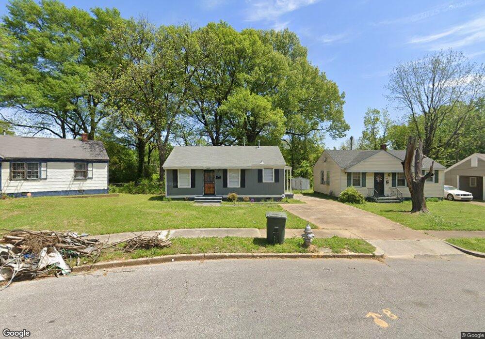
1990 Martin Cir Memphis, TN 38106
South Memphis NeighborhoodEstimated Value: $103,000 - $119,229
2
Beds
1
Bath
936
Sq Ft
$117/Sq Ft
Est. Value
About This Home
This home is located at 1990 Martin Cir, Memphis, TN 38106 and is currently estimated at $109,307, approximately $116 per square foot. 1990 Martin Cir is a home located in Shelby County with nearby schools including A. B. Hill Elementary School, Riverview Middle School, and Hamilton High School.
Ownership History
Date
Name
Owned For
Owner Type
Purchase Details
Closed on
Apr 18, 2023
Sold by
Mid South Homebuyers Gp
Bought by
Guerrero Piedad Natalia Hena
Current Estimated Value
Home Financials for this Owner
Home Financials are based on the most recent Mortgage that was taken out on this home.
Original Mortgage
$88,800
Outstanding Balance
$86,332
Interest Rate
6.6%
Mortgage Type
New Conventional
Estimated Equity
$22,975
Create a Home Valuation Report for This Property
The Home Valuation Report is an in-depth analysis detailing your home's value as well as a comparison with similar homes in the area
Home Values in the Area
Average Home Value in this Area
Purchase History
| Date | Buyer | Sale Price | Title Company |
|---|---|---|---|
| Guerrero Piedad Natalia Hena | $113,700 | None Listed On Document |
Source: Public Records
Mortgage History
| Date | Status | Borrower | Loan Amount |
|---|---|---|---|
| Open | Guerrero Piedad Natalia Hena | $88,800 |
Source: Public Records
Tax History Compared to Growth
Tax History
| Year | Tax Paid | Tax Assessment Tax Assessment Total Assessment is a certain percentage of the fair market value that is determined by local assessors to be the total taxable value of land and additions on the property. | Land | Improvement |
|---|---|---|---|---|
| 2025 | $629 | $28,700 | $2,000 | $26,700 |
| 2024 | $264 | $18,550 | $1,125 | $17,425 |
| 2023 | $475 | $7,800 | $1,125 | $6,675 |
| 2022 | $264 | $7,800 | $1,125 | $6,675 |
| 2021 | $565 | $7,800 | $1,125 | $6,675 |
| 2020 | $480 | $6,625 | $1,125 | $5,500 |
| 2019 | $212 | $6,625 | $1,125 | $5,500 |
| 2018 | $212 | $6,625 | $1,125 | $5,500 |
| 2017 | $217 | $6,625 | $1,125 | $5,500 |
| 2016 | $296 | $6,775 | $0 | $0 |
| 2014 | $296 | $6,775 | $0 | $0 |
Source: Public Records
Map
Nearby Homes
- 449 Fernwood Ave
- 442 Jacklyn Ave
- 396 Fernwood Ave
- 507 E Frank Ave
- 361 Jacklyn Ave
- 1869 S Lauderdale St
- 478 E Davant Ave
- 1872 Benning St
- 538 E Davant Ave
- 1839 S Orleans St
- 1334 Mcmillan St
- 1748 Benning St
- 586 E Mallory Ave
- 672 E Davant Ave
- 190 E Fernwood Ave
- 525 E Dison Ave
- 1428 S Orleans St
- 661 E Mallory Ave
- 760 E Mckellar Ave
- 171 E Frank Ave
- 1996 Martin Cir
- 1986 Martin Cir
- 2002 Martin Cir
- 1980 Martin Cir
- 491 Fernwood Ave
- 487 Fernwood Ave
- 479 Fernwood Ave
- 1976 Martin Cir
- 1995 Martin Cir
- 475 Fernwood Ave
- 471 Fernwood Ave
- 1972 Martin Cir
- 2003 Martin Cir
- 463 Fernwood Ave
- 1971 Martin Cir
- 459 Fernwood Ave
- 454 E Norwood Ave
- 1968 Martin Cir
- 1967 Martin Cir
- 453 Fernwood Ave