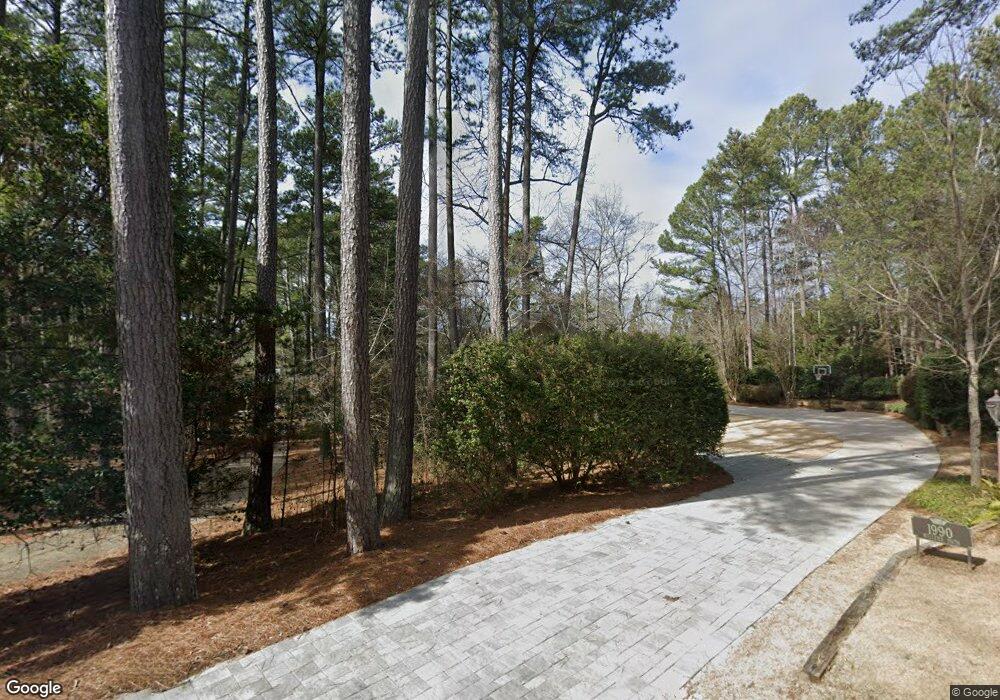
1990 Millers Path Cumming, GA 30041
Estimated Value: $1,278,000 - $1,583,000
4
Beds
3
Baths
3,221
Sq Ft
$441/Sq Ft
Est. Value
About This Home
This home is located at 1990 Millers Path, Cumming, GA 30041 and is currently estimated at $1,419,844, approximately $440 per square foot. 1990 Millers Path is a home located in Forsyth County with nearby schools including Mashburn Elementary School, Lakeside Middle School, and Forsyth Central High School.
Ownership History
Date
Name
Owned For
Owner Type
Purchase Details
Closed on
Jan 29, 2021
Sold by
Sibbitt Shannon Odell
Bought by
Sibbitt Shannon Odell and Sibbitt Jennifer D
Current Estimated Value
Home Financials for this Owner
Home Financials are based on the most recent Mortgage that was taken out on this home.
Original Mortgage
$735,000
Outstanding Balance
$656,236
Interest Rate
2.6%
Mortgage Type
New Conventional
Estimated Equity
$763,609
Purchase Details
Closed on
Mar 5, 2018
Sold by
Barnett David
Bought by
Barnett David Edward and Trustees Of David Victoria Bar
Purchase Details
Closed on
Sep 30, 2002
Sold by
Wright Nelson A and Wright Cathy J
Bought by
Barnett David and Barnett Victoria J
Home Financials for this Owner
Home Financials are based on the most recent Mortgage that was taken out on this home.
Original Mortgage
$474,000
Interest Rate
3.63%
Mortgage Type
New Conventional
Create a Home Valuation Report for This Property
The Home Valuation Report is an in-depth analysis detailing your home's value as well as a comparison with similar homes in the area
Home Values in the Area
Average Home Value in this Area
Purchase History
| Date | Buyer | Sale Price | Title Company |
|---|---|---|---|
| Sibbitt Shannon Odell | -- | -- | |
| Sibbitt Shannon Odell | $1,050,000 | -- | |
| Barnett David Edward | -- | -- | |
| Barnett David | $592,500 | -- |
Source: Public Records
Mortgage History
| Date | Status | Borrower | Loan Amount |
|---|---|---|---|
| Open | Sibbitt Shannon Odell | $735,000 | |
| Closed | Sibbitt Shannon Odell | $735,000 | |
| Previous Owner | Barnett David | $474,000 |
Source: Public Records
Tax History Compared to Growth
Tax History
| Year | Tax Paid | Tax Assessment Tax Assessment Total Assessment is a certain percentage of the fair market value that is determined by local assessors to be the total taxable value of land and additions on the property. | Land | Improvement |
|---|---|---|---|---|
| 2025 | $12,800 | $533,552 | $200,000 | $333,552 |
| 2024 | $12,800 | $521,960 | $200,000 | $321,960 |
| 2023 | $11,832 | $480,704 | $160,000 | $320,704 |
| 2022 | $11,043 | $320,648 | $140,000 | $180,648 |
| 2021 | $1,539 | $320,648 | $140,000 | $180,648 |
| 2020 | $1,530 | $311,096 | $140,000 | $171,096 |
| 2019 | $7,616 | $309,828 | $140,000 | $169,828 |
| 2018 | $7,482 | $301,276 | $140,000 | $161,276 |
| 2017 | $6,542 | $255,348 | $100,000 | $155,348 |
| 2016 | $6,542 | $255,348 | $100,000 | $155,348 |
| 2015 | $6,554 | $255,348 | $100,000 | $155,348 |
| 2014 | $5,953 | $242,620 | $0 | $0 |
Source: Public Records
Map
Nearby Homes
- 2340 Manor Pointe Dr
- 2020 Manor Pointe Dr
- 2020 Manor Pointe Dr Unit 19
- 2215 Manor Pointe Dr
- 2300 Habersham Marina Rd Unit 103
- 2130 Manor Pointe Dr
- 1735 Villas Overlook
- 1820 Ridge Rd
- 1450 Lockridge Dr
- 1950 Buford Dam Rd Unit 202
- 1950 Buford Dam Rd Unit 801
- 2205 Forest Dr
- 1310 Timber Lake Trail
- 1025 Timber Lake Trail Unit 1
- 2130 Hickory Cove Unit 5
- 2840 Waverly Walk Point
- 975 Timber Lake Trail
- LOT 51 Brook Valley Dr
- LOT 50 Brook Valley Dr
- LOT 48 Brook Valley Dr
- 1986 Millers Path
- 2000 Millers Path
- 2010 Millers Path
- 1984 Millers Path Unit 2
- 1984 Millers Path
- 1982 Millers Path
- 1960 Millers Path
- 2020 Millers Path
- 1940 Millers Path
- 1980 Millers Path
- 2030 Millers Path
- 1925 Millers Path
- 2015 Habersham Marina Rd
- 1915 Millers Path Unit 36
- 1915 Millers Path
- 2040 Millers Path
- 2050 Millers Path
- 1970 Millers Path
- 1975 Habersham Marina Rd
- 2125 Habersham Marina & 1970 Millers Path Rd