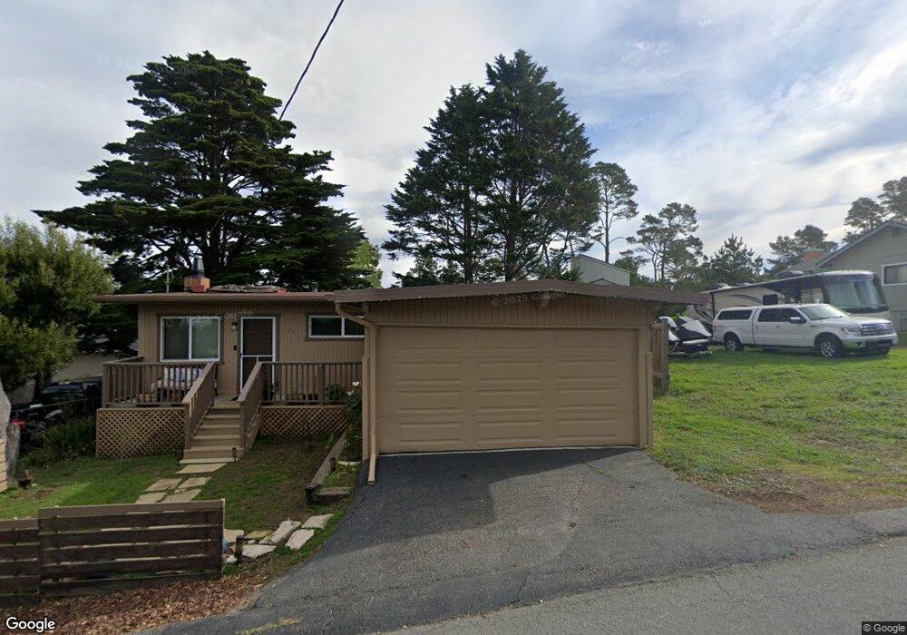
1990 Stuart St Cambria, CA 93428
Cambria NeighborhoodEstimated Value: $688,228 - $769,000
2
Beds
1
Bath
936
Sq Ft
$772/Sq Ft
Est. Value
About This Home
This home is located at 1990 Stuart St, Cambria, CA 93428 and is currently estimated at $723,057, approximately $772 per square foot. 1990 Stuart St is a home located in San Luis Obispo County with nearby schools including Cambria Grammar, Santa Lucia Middle School, and Coast Union High School.
Ownership History
Date
Name
Owned For
Owner Type
Purchase Details
Closed on
Dec 27, 2022
Sold by
Dennis German Trust
Bought by
German Richard A and Schilling Kristi L
Current Estimated Value
Purchase Details
Closed on
Dec 2, 1993
Sold by
Barnes Michael R and The Michael R Barnes Retiremen
Bought by
German Dennis L
Home Financials for this Owner
Home Financials are based on the most recent Mortgage that was taken out on this home.
Original Mortgage
$115,000
Interest Rate
7.16%
Create a Home Valuation Report for This Property
The Home Valuation Report is an in-depth analysis detailing your home's value as well as a comparison with similar homes in the area
Home Values in the Area
Average Home Value in this Area
Purchase History
| Date | Buyer | Sale Price | Title Company |
|---|---|---|---|
| German Richard A | -- | -- | |
| German Dennis L | $37,500 | First American Title Ins Co |
Source: Public Records
Mortgage History
| Date | Status | Borrower | Loan Amount |
|---|---|---|---|
| Previous Owner | German Dennis L | $115,000 |
Source: Public Records
Tax History
| Year | Tax Paid | Tax Assessment Tax Assessment Total Assessment is a certain percentage of the fair market value that is determined by local assessors to be the total taxable value of land and additions on the property. | Land | Improvement |
|---|---|---|---|---|
| 2025 | $6,988 | $645,048 | $416,160 | $228,888 |
| 2024 | $6,868 | $632,400 | $408,000 | $224,400 |
| 2023 | $6,868 | $620,000 | $400,000 | $220,000 |
| 2022 | $2,900 | $251,576 | $144,816 | $106,760 |
| 2021 | $2,849 | $246,644 | $141,977 | $104,667 |
| 2020 | $2,812 | $244,116 | $140,522 | $103,594 |
| 2019 | $2,759 | $239,330 | $137,767 | $101,563 |
| 2018 | $2,703 | $234,638 | $135,066 | $99,572 |
| 2017 | $2,646 | $230,038 | $132,418 | $97,620 |
| 2016 | $2,593 | $225,528 | $129,822 | $95,706 |
| 2015 | $2,556 | $222,141 | $127,872 | $94,269 |
| 2014 | $2,471 | $217,791 | $125,368 | $92,423 |
Source: Public Records
Map
Nearby Homes
- 1935 Spencer St
- 1909 Pineridge Dr
- 1815 Stuart St
- 2110 Mccabe Dr
- 2185 Pierce Ave
- 2315 Adams St
- 0 Orville Unit 202510183
- 0 Orville Unit SR25201577
- 0 Londonderry Ln Unit NS25177851
- 0 Ardath Dr Unit SC26031208
- 35 Spencer St
- 0 Spencer St Unit PI26033771
- 0 Spencer St Unit OC25119878
- 0 Spencer St Unit 26000277
- 1739 Arliss Dr
- 0 Malvern St Unit 240726
- 0 Malvern St Unit 240725
- 1608 Bradford Rd
- 1648 Richard Ave
- 17 Bradford Rd
- 1964 Stuart St
- 1999 Pineridge Dr
- 1985 Pineridge Dr
- 1985 Stuart St
- 1958 Stuart St
- 1965 Pineridge Dr
- 2001 Pineridge Dr
- 1966 Pineridge Dr
- 1978 Richard Ave
- 2010 Pineridge Dr
- 2802 Taft Place
- 2760 Taft Place
- 2898 Taft Place
- 1958 Richard Ave
- 2091 Spencer St
- 2035 Spencer St
- 2076 Pineridge Dr
- 2115 Spencer St
- 2001 Spencer St
- 1910 Pineridge Dr
Your Personal Tour Guide
Ask me questions while you tour the home.