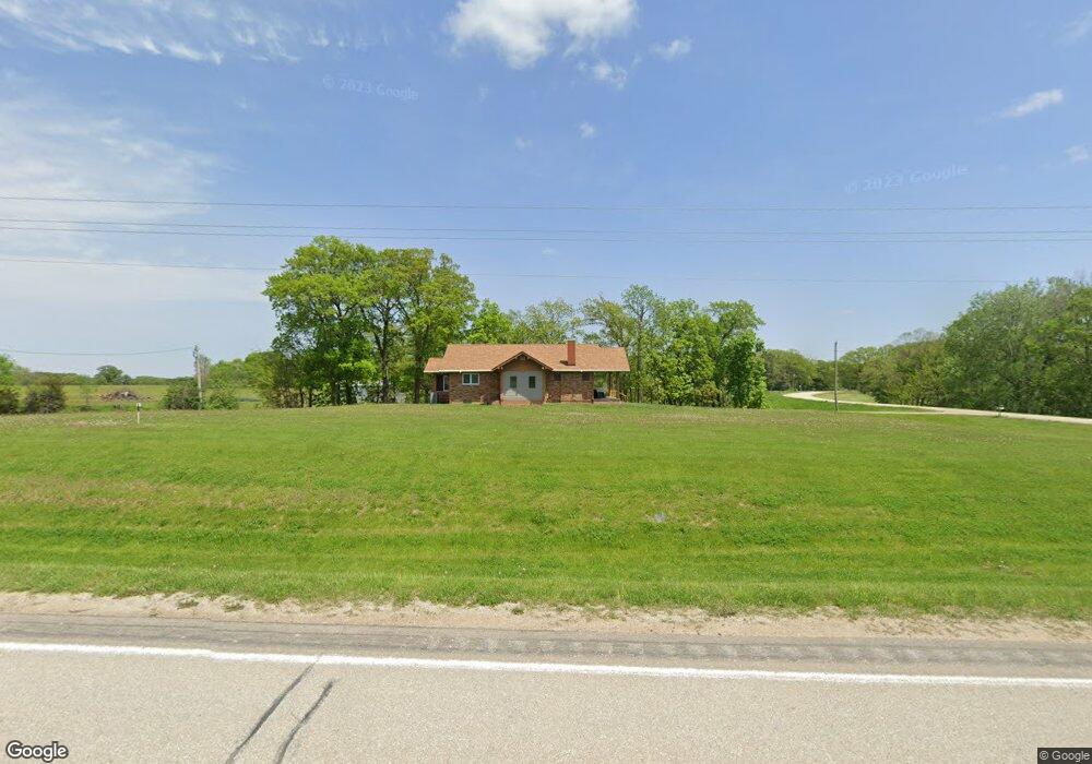
1990 W Point Rd West Point, IA 52656
Estimated Value: $181,000 - $194,000
3
Beds
3
Baths
1,240
Sq Ft
$151/Sq Ft
Est. Value
About This Home
This home is located at 1990 W Point Rd, West Point, IA 52656 and is currently estimated at $187,171, approximately $150 per square foot. 1990 W Point Rd is a home located in Lee County with nearby schools including Central Lee Elementary School, Central Lee Middle School, and Central Lee High School.
Ownership History
Date
Name
Owned For
Owner Type
Purchase Details
Closed on
Jul 28, 2021
Sold by
Darley Daniel W and Darley Besty M
Bought by
Wilcox Jennifer A
Current Estimated Value
Home Financials for this Owner
Home Financials are based on the most recent Mortgage that was taken out on this home.
Original Mortgage
$140,689
Outstanding Balance
$24,886
Interest Rate
2.9%
Mortgage Type
New Conventional
Estimated Equity
$162,285
Purchase Details
Closed on
May 29, 2019
Sold by
Roxlau John A
Bought by
Darley Daniel W and Darley Betsy M
Home Financials for this Owner
Home Financials are based on the most recent Mortgage that was taken out on this home.
Original Mortgage
$80,000
Interest Rate
4.1%
Mortgage Type
New Conventional
Create a Home Valuation Report for This Property
The Home Valuation Report is an in-depth analysis detailing your home's value as well as a comparison with similar homes in the area
Purchase History
| Date | Buyer | Sale Price | Title Company |
|---|---|---|---|
| Wilcox Jennifer A | $140,000 | None Available | |
| Darley Daniel W | $90,000 | -- |
Source: Public Records
Mortgage History
| Date | Status | Borrower | Loan Amount |
|---|---|---|---|
| Open | Wilcox Jennifer A | $140,689 | |
| Previous Owner | Darley Daniel W | $80,000 |
Source: Public Records
Tax History
| Year | Tax Paid | Tax Assessment Tax Assessment Total Assessment is a certain percentage of the fair market value that is determined by local assessors to be the total taxable value of land and additions on the property. | Land | Improvement |
|---|---|---|---|---|
| 2025 | $1,850 | $162,840 | $29,700 | $133,140 |
| 2024 | $1,850 | $145,000 | $29,700 | $115,300 |
| 2023 | $1,732 | $145,000 | $29,700 | $115,300 |
| 2022 | $1,486 | $113,100 | $27,750 | $85,350 |
| 2021 | $1,486 | $113,100 | $27,750 | $85,350 |
| 2020 | $1,570 | $111,290 | $29,420 | $81,870 |
| 2019 | $1,352 | $111,290 | $29,420 | $81,870 |
| 2018 | $1,400 | $104,990 | $0 | $0 |
| 2017 | $1,374 | $100,930 | $0 | $0 |
| 2016 | $1,280 | $100,930 | $0 | $0 |
| 2015 | $1,280 | $97,680 | $0 | $0 |
| 2014 | $1,200 | $97,680 | $0 | $0 |
Source: Public Records
Map
Nearby Homes
- 2388 218th St
- 53 5th St
- 0 Blues Highway & Bluff Rd
- 117 Country Lane Rd
- 4991 Bluff Rd
- 107 Franklin Broadway St
- 2794 221st St
- 4601 River Bend Sub Lot 4
- 4922 Grand View Ln
- 4915 River Valley Rd
- 1123 48th St Unit 20
- 0 N Hillview Vil
- 2280 Windmill Way
- RR Woodland Heights Ct
- 2278 Windmill Way
- 107 Frkln Brdwy St
- 2229 235th St
- 2004 295th Ave
- 706 34th Place
- 618 34th St
- 1998 W Point Rd
- 2524 Chalk Ridge Rd
- 2527 Chalk Ridge Rd
- 2008 W Point Rd
- 2529 Chalk Ridge Rd
- 1974 W Point Rd
- 2014 W Point Rd
- 1964 W Point Rd
- 1960 W Point Rd
- 1955 W Point Rd
- 1944 Otte Rd
- 1953 W Point Rd
- 2054 W Point Rd
- 1956 235th Ave
- 1947 W Point Rd
- 1934 Otte Rd
- 1930 Otte Rd
- 1942 W Point Rd
- 1926 Otte Rd
- 1916 Otte Rd
Your Personal Tour Guide
Ask me questions while you tour the home.