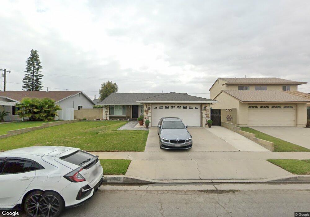
19902 Reinhart Ave Carson, CA 90746
Estimated Value: $761,000 - $828,000
3
Beds
2
Baths
1,200
Sq Ft
$664/Sq Ft
Est. Value
About This Home
This home is located at 19902 Reinhart Ave, Carson, CA 90746 and is currently estimated at $797,016, approximately $664 per square foot. 19902 Reinhart Ave is a home located in Los Angeles County with nearby schools including Leapwood Avenue Elementary School, Glenn Hammond Curtiss Middle School, and Rancho Dominguez Preparatory School.
Ownership History
Date
Name
Owned For
Owner Type
Purchase Details
Closed on
Aug 7, 1996
Sold by
Graves Lonnie
Bought by
Graves Lonnie and King Barbara Ann
Current Estimated Value
Create a Home Valuation Report for This Property
The Home Valuation Report is an in-depth analysis detailing your home's value as well as a comparison with similar homes in the area
Home Values in the Area
Average Home Value in this Area
Purchase History
| Date | Buyer | Sale Price | Title Company |
|---|---|---|---|
| Graves Lonnie | -- | -- |
Source: Public Records
Tax History
| Year | Tax Paid | Tax Assessment Tax Assessment Total Assessment is a certain percentage of the fair market value that is determined by local assessors to be the total taxable value of land and additions on the property. | Land | Improvement |
|---|---|---|---|---|
| 2025 | $4,699 | $332,372 | $225,428 | $106,944 |
| 2024 | $4,598 | $325,856 | $221,008 | $104,848 |
| 2023 | $4,507 | $319,468 | $216,675 | $102,793 |
| 2022 | $4,288 | $313,205 | $212,427 | $100,778 |
| 2021 | $4,236 | $307,064 | $208,262 | $98,802 |
| 2020 | $4,241 | $303,916 | $206,127 | $97,789 |
| 2019 | $4,083 | $297,958 | $202,086 | $95,872 |
| 2018 | $4,001 | $292,117 | $198,124 | $93,993 |
| 2016 | $3,898 | $280,776 | $190,432 | $90,344 |
| 2015 | $3,817 | $276,559 | $187,572 | $88,987 |
| 2014 | $3,808 | $271,142 | $183,898 | $87,244 |
Source: Public Records
Map
Nearby Homes
- 664 E Elsmere Dr
- 879 E Turmont St
- 19327 Galway Ave
- 19603 Enslow Dr
- 956 E Gladwick St
- 19426 Belshaw Ave
- 19202 Campaign Dr
- 20203 Tillman Ave
- 19012 Tillman Ave
- 20600 Main St Unit 23
- 20805 Jamison Ave
- 1351 E Bankers Dr
- 21111 Dolores St
- 19008 Hillford Ave
- 17700 Avalon Blvd Unit 267
- 17700 Avalon Blvd Unit 387
- 17700 Avalon Blvd Unit 40
- 328 E 213th St
- 19306 Harlan Ave
- 149 E 211th St
- 19906 Reinhart Ave
- 19830 Reinhart Ave
- 19903 Alonda Dr
- 19831 Alonda Dr
- 19824 Reinhart Ave
- 19912 Reinhart Ave
- 19907 Alonda Dr
- 19825 Alonda Dr
- 19905 Reinhart Ave
- 19833 Reinhart Ave
- 19911 Alonda Dr
- 19818 Reinhart Ave
- 19918 Reinhart Ave
- 19911 Reinhart Ave
- 19827 Reinhart Ave
- 19819 Alonda Dr
- 19915 Reinhart Ave
- 19821 Reinhart Ave
- 19919 Alonda Dr
- 19812 Reinhart Ave