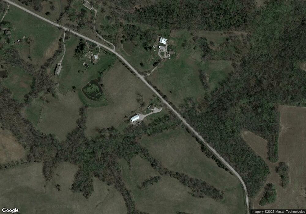
Estimated Value: $177,000 - $401,000
3
Beds
1
Bath
1,344
Sq Ft
$219/Sq Ft
Est. Value
About This Home
This home is located at 19906 Cameron Rd, Holt, MO 64048 and is currently estimated at $294,243, approximately $218 per square foot. 19906 Cameron Rd is a home located in Clay County with nearby schools including Kearney Junior High School and Kearney High School.
Ownership History
Date
Name
Owned For
Owner Type
Purchase Details
Closed on
Mar 2, 2011
Sold by
Boyle Brandon C
Bought by
Federal National Mortgage Association
Current Estimated Value
Purchase Details
Closed on
Jul 17, 2007
Sold by
Adams Thomas J
Bought by
Boyle Brandon C
Home Financials for this Owner
Home Financials are based on the most recent Mortgage that was taken out on this home.
Original Mortgage
$115,000
Interest Rate
6.54%
Mortgage Type
New Conventional
Create a Home Valuation Report for This Property
The Home Valuation Report is an in-depth analysis detailing your home's value as well as a comparison with similar homes in the area
Home Values in the Area
Average Home Value in this Area
Purchase History
| Date | Buyer | Sale Price | Title Company |
|---|---|---|---|
| Federal National Mortgage Association | $156,886 | None Available | |
| Boyle Brandon C | -- | Burns Title Llc |
Source: Public Records
Mortgage History
| Date | Status | Borrower | Loan Amount |
|---|---|---|---|
| Previous Owner | Boyle Brandon C | $115,000 |
Source: Public Records
Tax History Compared to Growth
Tax History
| Year | Tax Paid | Tax Assessment Tax Assessment Total Assessment is a certain percentage of the fair market value that is determined by local assessors to be the total taxable value of land and additions on the property. | Land | Improvement |
|---|---|---|---|---|
| 2025 | $93 | $35,800 | -- | -- |
| 2024 | $93 | $31,160 | -- | -- |
| 2023 | $0 | $31,160 | $0 | $0 |
| 2022 | $0 | $29,580 | $0 | $0 |
| 2021 | $0 | $29,583 | $8,968 | $20,615 |
| 2020 | $0 | $27,340 | $0 | $0 |
| 2019 | $204 | $27,341 | $8,360 | $18,981 |
| 2018 | $667 | $23,770 | $0 | $0 |
| 2017 | $47 | $23,770 | $6,460 | $17,310 |
| 2016 | $47 | $22,690 | $6,460 | $16,230 |
| 2015 | $1,602 | $22,690 | $6,460 | $16,230 |
| 2014 | $1,610 | $22,690 | $6,460 | $16,230 |
Source: Public Records
Map
Nearby Homes
- 19319 Old Bb
- 52 SE 208th St
- 7191 SE Downing Rd
- Lot 10 188th St & Downing Rd
- 18818 Thompson Rd
- 7621 SE Cannonball Rd
- 7129 SE Cannon Ball Rd
- 0 SE Cannonball Rd Unit HMS2550195
- 175 3rd St
- 19412 Shanks Rd
- 610 Waters St
- 606 Water St
- 6547 SE Horseshoe Dr
- 650 Cleveland St
- 7355 SE Timberlake Ct
- 5126 Sioux Dr
- 5275 SE Fox Run Rd
- 16605 Cc Hwy
- 7150 SE Rhodus Rd
- 10179 SE 204th St
- 20001 Cameron Rd
- 6309 SE Oak Hollow Ln
- 0 Oak Hollow Ln Unit 1881041
- 0 Oak Hollow Lane Rd Unit 1951976
- 6411 Oak Hollow Ln
- 6023 SE Pp Hwy
- 0 SE Pp Hwy Unit 1458821
- 19821 SE Dykes Rd
- 6531 SE Pp Hwy
- 7831 SE Moore Dr
- 5867 SE Pp Hwy
- 7695 SE Sycamore Dr
- 7673 SE Sycamore Dr
- 7527 SE Sycamore Dr
- 24200 NE 196th St
- 5673 SE Pp Hwy
- PP Hwy & Sycamore Rd
- 0 P Hwy Unit 1903900
- Lot 10 SE Sycamore Dr
- 0 SE Sycamore Dr
