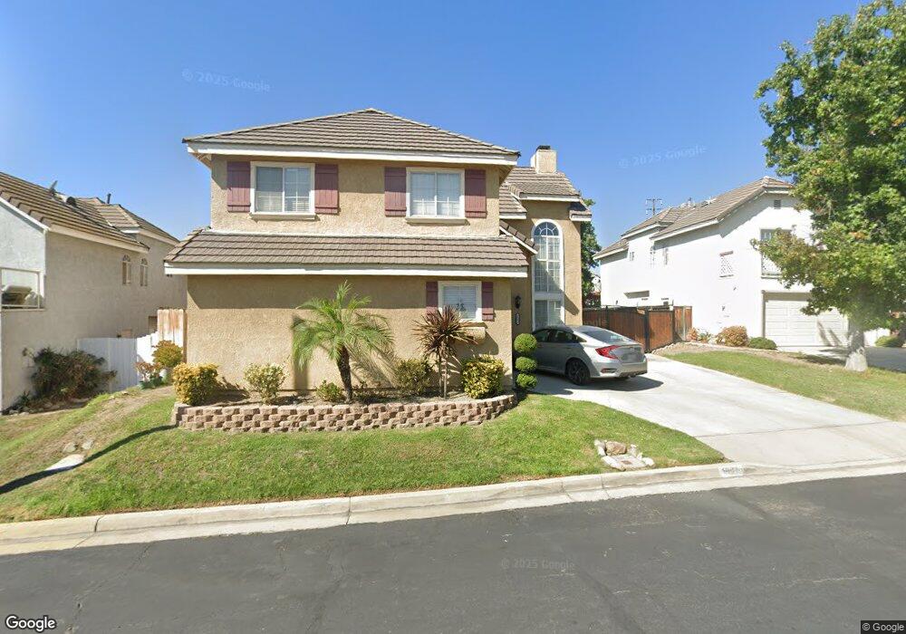
1991 Briar Path Trail Upland, CA 91784
Estimated Value: $815,363 - $939,000
About This Home
This home is located at 1991 Briar Path Trail, Upland, CA 91784 and is currently estimated at $887,591, approximately $454 per square foot. 1991 Briar Path Trail is a home located in San Bernardino County with nearby schools including Pepper Tree Elementary, Pioneer Junior High School, and Upland High School.
Ownership History
We collect this data history from publicly available records. To have your information removed, we recommend requesting removal directly through your county’s website.
Purchase Details
Home Financials for this Owner
Home Financials are based on the most recent Mortgage that was taken out on this home.Purchase Details
Home Financials for this Owner
Home Financials are based on the most recent Mortgage that was taken out on this home.Purchase Details
Home Financials for this Owner
Home Financials are based on the most recent Mortgage that was taken out on this home.Purchase Details
Home Values in the Area
Average Home Value in this Area
Purchase History
We collect this data history from publicly available records. To have your information removed, we recommend requesting removal directly through your county’s website.
| Date | Buyer | Sale Price | Title Company |
|---|---|---|---|
| $300,000 | Ticor Title | ||
| $499,000 | Investors Title Co San Bern | ||
| $172,000 | Fidelity National Title Ins | ||
| $134,100 | Chicago Title Company |
Mortgage History
We collect this data history from publicly available records. To have your information removed, we recommend requesting removal directly through your county’s website.
| Date | Status | Borrower | Loan Amount |
|---|---|---|---|
| Previous Owner | $287,850 | ||
| Previous Owner | $424,150 | ||
| Previous Owner | $163,300 |
Tax History
We collect this data history from publicly available records. To have your information removed, we recommend requesting removal directly through your county’s website.
| Year | Tax Paid | Tax Assessment Tax Assessment Total Assessment is a certain percentage of the fair market value that is determined by local assessors to be the total taxable value of land and additions on the property. | Land | Improvement |
|---|---|---|---|---|
| 2025 | $4,175 | $376,817 | $131,886 | $244,931 |
| 2024 | $4,041 | $369,428 | $129,300 | $240,128 |
| 2023 | $3,978 | $362,185 | $126,765 | $235,420 |
| 2022 | $3,891 | $355,083 | $124,279 | $230,804 |
| 2021 | $3,884 | $348,120 | $121,842 | $226,278 |
| 2020 | $3,778 | $344,551 | $120,593 | $223,958 |
| 2019 | $3,764 | $337,795 | $118,228 | $219,567 |
| 2018 | $3,672 | $331,172 | $115,910 | $215,262 |
| 2017 | $3,565 | $324,678 | $113,637 | $211,041 |
| 2016 | $5,190 | $318,312 | $111,409 | $206,903 |
| 2015 | $5,122 | $313,531 | $109,736 | $203,795 |
| 2014 | $3,199 | $307,389 | $107,586 | $199,803 |
Map
- 1307 Rockdale St
- 1367 Northstar Ln
- 1340 Sunrise Cir S
- 1592 Evergreen Dr
- 1214 Miller Ct
- 1584 W Buffington St
- 2184 Paris Cir
- 2186 Eiffel Cir
- 1756 Rosewood Way
- 959 Kenwood St
- 1140 W 22nd St
- 1225 Tamarisk Cir
- 904 Pineridge St
- 2056 Coolcrest Ave
- 874 W 19th St
- 1686 Carmel Cir E
- 2040 N Albright Ave
- 1672 Carmel Cir W
- 1668 Lakewood Ave
- 1677 Erin Ave
- 1994 Shady Brook Way
- 1990 Shady Brook Way
- 1998 Shady Brook Way
- 1995 Briar Trail
- 1995 Briar Path Trail
- 1999 Briar Trail
- 1999 Briar Path Trail
- 1984 Shady Brook Way
- 1985 Briar Trail
- 1985 Briar Path Trail
- 1995 Shady Brook Way
- 1993 Shady Brook Way
- 1999 Shady Brook Way
- 1980 Shady Brook Way
- 1985 Shady Brook Way
- 1981 Briar Path Trail
- 1386 Willowbrook Ln
- 1378 Willowbrook Ln
- 1394 Willowbrook Ln
- 1372 Willowbrook Ln
Ask me questions while you tour the home.