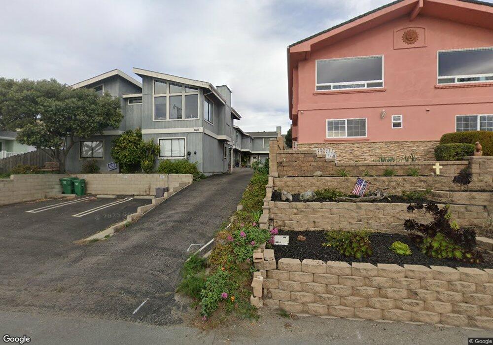
1991 Circle Dr Unit C Cayucos, CA 93430
Cayucos NeighborhoodEstimated Value: $813,000 - $941,000
2
Beds
2
Baths
1,085
Sq Ft
$812/Sq Ft
Est. Value
About This Home
This home is located at 1991 Circle Dr Unit C, Cayucos, CA 93430 and is currently estimated at $881,351, approximately $812 per square foot. 1991 Circle Dr Unit C is a home located in San Luis Obispo County.
Ownership History
Date
Name
Owned For
Owner Type
Purchase Details
Closed on
Sep 27, 2016
Sold by
Regan Mary M and The Mary M Regan 2010 Revocabl
Bought by
Chapman Dan and Dan Chapman Revocable Trust
Current Estimated Value
Purchase Details
Closed on
Aug 6, 2010
Sold by
Regan Mary M
Bought by
Regan Mary M and Mary M Regan 2010 Revocable Li
Purchase Details
Closed on
Oct 31, 2001
Sold by
Arnold Norman J and Arnold Brenda B
Bought by
Regan Mary M
Home Financials for this Owner
Home Financials are based on the most recent Mortgage that was taken out on this home.
Original Mortgage
$135,000
Interest Rate
6.63%
Purchase Details
Closed on
Feb 12, 2001
Sold by
Kellas Robert S and Robert S Kellas Trust
Bought by
Arnold Norman J and Arnold Brenda B
Home Financials for this Owner
Home Financials are based on the most recent Mortgage that was taken out on this home.
Original Mortgage
$215,000
Interest Rate
7.06%
Mortgage Type
Seller Take Back
Create a Home Valuation Report for This Property
The Home Valuation Report is an in-depth analysis detailing your home's value as well as a comparison with similar homes in the area
Home Values in the Area
Average Home Value in this Area
Purchase History
| Date | Buyer | Sale Price | Title Company |
|---|---|---|---|
| Chapman Dan | $565,000 | First American Title Company | |
| Regan Mary M | -- | None Available | |
| Regan Mary M | $285,000 | Fidelity National Title Co | |
| Arnold Norman J | $225,000 | Fidelity National Title Co |
Source: Public Records
Mortgage History
| Date | Status | Borrower | Loan Amount |
|---|---|---|---|
| Previous Owner | Regan Mary M | $135,000 | |
| Previous Owner | Arnold Norman J | $215,000 |
Source: Public Records
Tax History
| Year | Tax Paid | Tax Assessment Tax Assessment Total Assessment is a certain percentage of the fair market value that is determined by local assessors to be the total taxable value of land and additions on the property. | Land | Improvement |
|---|---|---|---|---|
| 2025 | $6,860 | $655,723 | $406,201 | $249,522 |
| 2024 | $6,784 | $642,867 | $398,237 | $244,630 |
| 2023 | $6,784 | $630,263 | $390,429 | $239,834 |
| 2022 | $6,669 | $617,906 | $382,774 | $235,132 |
| 2021 | $6,575 | $605,791 | $375,269 | $230,522 |
| 2020 | $6,505 | $599,581 | $371,422 | $228,159 |
| 2019 | $6,377 | $587,826 | $364,140 | $223,686 |
| 2018 | $6,252 | $576,300 | $357,000 | $219,300 |
| 2017 | $6,127 | $362,761 | $222,751 | $140,010 |
| 2016 | $3,894 | $355,649 | $218,384 | $137,265 |
| 2015 | $3,860 | $350,308 | $215,104 | $135,204 |
| 2014 | $3,726 | $343,447 | $210,891 | $132,556 |
Source: Public Records
Map
Nearby Homes
- 2023 Circle Dr
- 0 California 1
- 57 17th St
- 1625 Cass Ave Unit 22
- 0 Studio Dr
- 1234 Pacific Ave
- 29 11th St
- 2651 Richard Ave
- 1000 Saint Mary Ave
- 2670 Studio Dr
- 2712 Studio Dr
- 2810 Santa Barbara Ave
- 50 5th St
- 2901 Ocean Blvd
- 510 Park Ave
- 2871 Studio Dr
- 2908 Orville Ave
- 0 Old Creek Rd Unit SC25189165
- 596 Hacienda Dr
- 1 Ramona Ave
- 1991 Circle Dr
- 1989 Circle Dr
- 1985 Circle Dr
- 1987 Circle Dr
- 2007 Circle Dr
- 2009 Circle Dr
- 1949 Circle Dr
- 1929 Circle Dr Unit LOT
- 1929 Circle Dr
- 1919 Circle Dr Unit 1
- 1919 Circle Dr
- 2091 Circle Dr
- 1998 Circle Dr
- 1974 Circle Dr
- 2000 Circle Dr
- 2028 Circle Dr
- 1950 Circle Dr
- 1924 Circle Dr
- 2155 Circle Dr
- 2078 Circle Dr
Your Personal Tour Guide
Ask me questions while you tour the home.