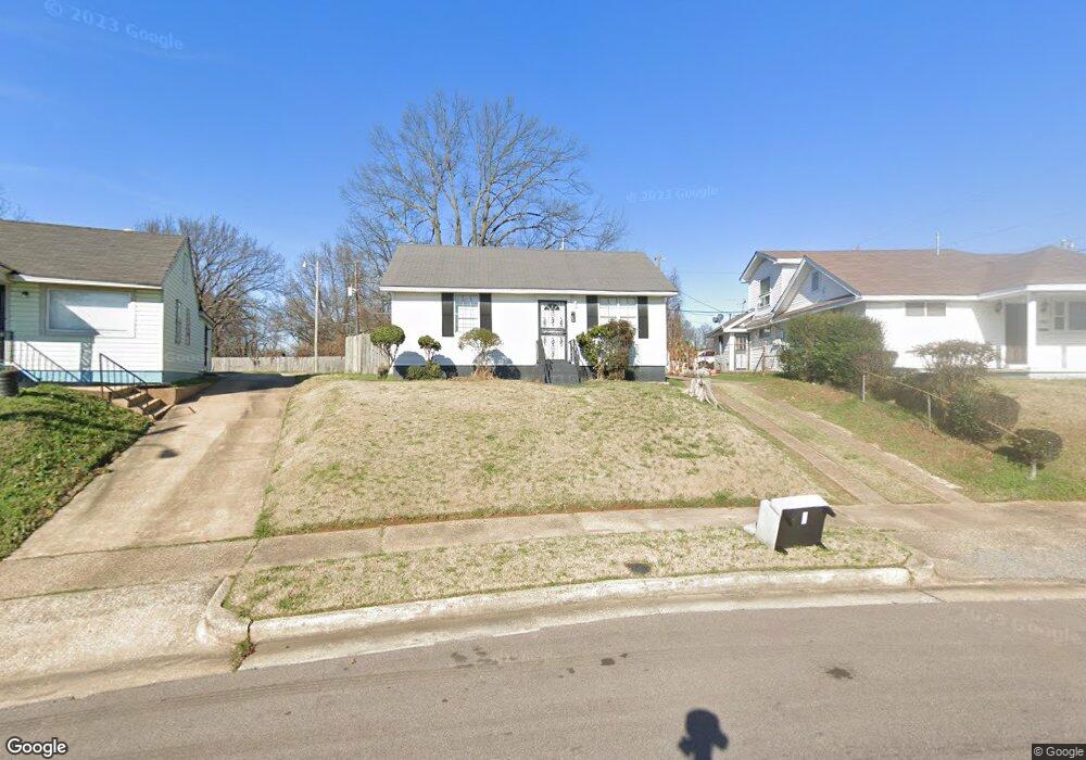
1991 Corry Rd Memphis, TN 38106
Southeast Memphis NeighborhoodEstimated Value: $37,000 - $49,000
2
Beds
1
Bath
696
Sq Ft
$61/Sq Ft
Est. Value
About This Home
This home is located at 1991 Corry Rd, Memphis, TN 38106 and is currently estimated at $42,371, approximately $60 per square foot. 1991 Corry Rd is a home located in Shelby County with nearby schools including Hamilton High School, Memphis College Preparatory, and Veritas College Preparatory.
Ownership History
Date
Name
Owned For
Owner Type
Purchase Details
Closed on
Feb 22, 1996
Bought by
Alice Buford Mary
Current Estimated Value
Home Financials for this Owner
Home Financials are based on the most recent Mortgage that was taken out on this home.
Original Mortgage
$26,264
Interest Rate
8.05%
Mortgage Type
FHA
Create a Home Valuation Report for This Property
The Home Valuation Report is an in-depth analysis detailing your home's value as well as a comparison with similar homes in the area
Home Values in the Area
Average Home Value in this Area
Purchase History
| Date | Buyer | Sale Price | Title Company |
|---|---|---|---|
| Alice Buford Mary | $25,000 | -- | |
| Blakley Gwendolyn | -- | -- | |
| Blakley Gwendolyn | -- | -- | |
| Blakley Gwendolyn | -- | -- | |
| Blakley Gwendolyn | $25,000 | -- |
Source: Public Records
Mortgage History
| Date | Status | Borrower | Loan Amount |
|---|---|---|---|
| Previous Owner | Blakley Gwendolyn | $26,264 | |
| Closed | Blakley Gwendolyn | $456 |
Source: Public Records
Tax History Compared to Growth
Tax History
| Year | Tax Paid | Tax Assessment Tax Assessment Total Assessment is a certain percentage of the fair market value that is determined by local assessors to be the total taxable value of land and additions on the property. | Land | Improvement |
|---|---|---|---|---|
| 2025 | $164 | $8,450 | $1,700 | $6,750 |
| 2024 | $164 | $4,825 | $725 | $4,100 |
| 2023 | $294 | $4,825 | $725 | $4,100 |
| 2022 | $294 | $4,825 | $725 | $4,100 |
| 2021 | $297 | $4,825 | $725 | $4,100 |
| 2020 | $357 | $4,925 | $725 | $4,200 |
| 2019 | $357 | $4,925 | $725 | $4,200 |
| 2018 | $357 | $4,925 | $725 | $4,200 |
| 2017 | $202 | $4,925 | $725 | $4,200 |
| 2016 | $223 | $5,100 | $0 | $0 |
| 2014 | $223 | $5,100 | $0 | $0 |
Source: Public Records
Map
Nearby Homes
- 1560 Cane Rd
- 1428 Eloise Rd
- 2136 Sparks St
- 1377 Lyceum Rd
- 2180 Elvis Presley Blvd
- 1439 Menager Rd
- 1721 W Silver St
- 1832 Rozelle St
- 1824 Rozelle St
- 1698 Rayner St
- 2344 Warren St
- 1649 Pillow St
- 996 Rozelle St
- 1399 South Ave
- 1025 Shawnee Cir
- 1410 South Ave
- 1026 Shawnee Cir
- 1025 Wichita Ave
- 1345 Gold Ave
- 1554 Pillow St