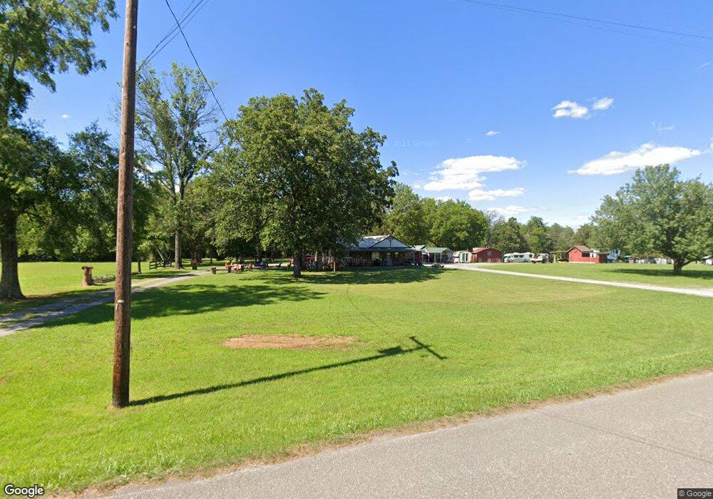
1991 Cottonport Rd Dayton, TN 37321
Estimated Value: $205,000 - $249,000
--
Bed
2
Baths
1,200
Sq Ft
$184/Sq Ft
Est. Value
About This Home
This home is located at 1991 Cottonport Rd, Dayton, TN 37321 and is currently estimated at $220,260, approximately $183 per square foot. 1991 Cottonport Rd is a home located in Rhea County with nearby schools including Rhea County High School.
Ownership History
Date
Name
Owned For
Owner Type
Purchase Details
Closed on
Nov 14, 2023
Sold by
Calbaugh Donna Jeene Le and Calbaugh Marvin
Bought by
Dinger Hunter S
Current Estimated Value
Purchase Details
Closed on
Mar 28, 1994
Sold by
Donald Shaver
Bought by
David King
Purchase Details
Closed on
Feb 28, 1974
Bought by
Shaver Donald L and Shaver Linda J
Create a Home Valuation Report for This Property
The Home Valuation Report is an in-depth analysis detailing your home's value as well as a comparison with similar homes in the area
Home Values in the Area
Average Home Value in this Area
Purchase History
| Date | Buyer | Sale Price | Title Company |
|---|---|---|---|
| Dinger Hunter S | -- | None Listed On Document | |
| David King | $72,000 | -- | |
| Shaver Donald L | -- | -- |
Source: Public Records
Tax History Compared to Growth
Tax History
| Year | Tax Paid | Tax Assessment Tax Assessment Total Assessment is a certain percentage of the fair market value that is determined by local assessors to be the total taxable value of land and additions on the property. | Land | Improvement |
|---|---|---|---|---|
| 2024 | $595 | $44,100 | $11,525 | $32,575 |
| 2023 | $495 | $21,950 | $5,200 | $16,750 |
| 2022 | $495 | $21,950 | $5,200 | $16,750 |
| 2021 | $495 | $21,950 | $5,200 | $16,750 |
| 2020 | $495 | $21,950 | $5,200 | $16,750 |
| 2019 | $495 | $21,950 | $5,200 | $16,750 |
| 2018 | $487 | $22,150 | $5,200 | $16,950 |
| 2017 | $487 | $22,150 | $5,200 | $16,950 |
| 2016 | $487 | $22,150 | $5,200 | $16,950 |
| 2015 | $464 | $22,150 | $5,200 | $16,950 |
| 2014 | $458 | $21,850 | $5,200 | $16,650 |
| 2013 | -- | $21,850 | $5,200 | $16,650 |
Source: Public Records
Map
Nearby Homes
- Lot 12 Melrose Place
- 19a & 20 Melrose Place
- 16 & 17a Melrose Place
- Lot 6 Melrose Place
- 0 Melrose Place Unit 1502067
- 0 Melrose Place Unit 20244648
- 0 Melrose Place Unit 1502049
- 0 Melrose Place Unit 1502048
- 340 Melrose Place
- Lot 5 Brinkmeier Ln
- 00 Scoggins Ln
- 1887 Maple Spring Rd
- 4344 Double Rd S
- 3 Cottonport Rd
- 295 Sky Dr
- 410 Pioneer Trail
- 595 New Union Cir
- 170 Blue Sky Dr
- 0 Blue Sky Dr Unit RTC2918178
- 1991 Cottonport Rd
- 2105 Cottonport Rd
- 2141 Cottonport Rd
- 2225 Cottonport Rd
- 1754 Cottonport Rd
- 2301 Cottonport Rd
- 1689 Cottonport Rd
- 2364 Cottonport Rd
- 1545 Cottonport Rd
- 520 Cochran Ln
- 1517 Cottonport Rd
- 2904 Purser Rd
- 2560 Cottonport Rd
- 2800 Purser Rd
- 1500 Cottonport Rd
- 348 Cochran Ln
- 1495 Cottonport Rd
- 2640 Cottonport Rd
- 00 Cochran Ln
- 2648 Cottonport Rd
