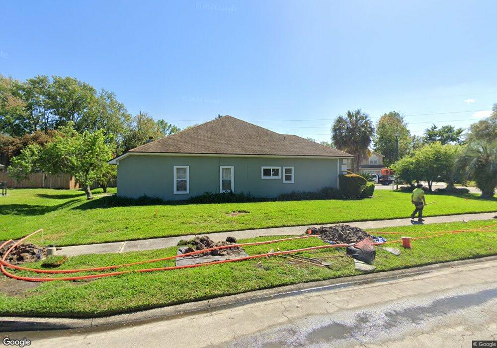
1991 Lenox Ct Middleburg, FL 32068
Estimated Value: $405,830 - $458,000
4
Beds
2
Baths
2,570
Sq Ft
$167/Sq Ft
Est. Value
About This Home
This home is located at 1991 Lenox Ct, Middleburg, FL 32068 and is currently estimated at $427,958, approximately $166 per square foot. 1991 Lenox Ct is a home located in Clay County with nearby schools including Swimming Pen Creek Elementary School, Fleming Island High School, and Lakeside Junior High School.
Ownership History
Date
Name
Owned For
Owner Type
Purchase Details
Closed on
Dec 20, 2004
Sold by
Mansell Thao P and Mansell Julian J
Bought by
Brandt Todd R and Brandt Caroline
Current Estimated Value
Home Financials for this Owner
Home Financials are based on the most recent Mortgage that was taken out on this home.
Original Mortgage
$167,200
Outstanding Balance
$83,120
Interest Rate
5.62%
Mortgage Type
New Conventional
Estimated Equity
$344,838
Create a Home Valuation Report for This Property
The Home Valuation Report is an in-depth analysis detailing your home's value as well as a comparison with similar homes in the area
Home Values in the Area
Average Home Value in this Area
Purchase History
| Date | Buyer | Sale Price | Title Company |
|---|---|---|---|
| Brandt Todd R | $209,000 | -- |
Source: Public Records
Mortgage History
| Date | Status | Borrower | Loan Amount |
|---|---|---|---|
| Open | Brandt Todd R | $167,200 | |
| Closed | Brandt Todd R | $20,900 |
Source: Public Records
Tax History Compared to Growth
Tax History
| Year | Tax Paid | Tax Assessment Tax Assessment Total Assessment is a certain percentage of the fair market value that is determined by local assessors to be the total taxable value of land and additions on the property. | Land | Improvement |
|---|---|---|---|---|
| 2024 | $4,980 | $318,936 | $45,000 | $273,936 |
| 2023 | $4,980 | $312,832 | $45,000 | $267,832 |
| 2022 | $4,526 | $295,913 | $45,000 | $250,913 |
| 2021 | $4,117 | $249,689 | $33,000 | $216,689 |
| 2020 | $3,785 | $233,840 | $33,000 | $200,840 |
| 2019 | $3,702 | $226,695 | $33,000 | $193,695 |
| 2018 | $3,187 | $204,695 | $0 | $0 |
| 2017 | $3,065 | $192,661 | $0 | $0 |
| 2016 | $2,904 | $177,742 | $0 | $0 |
| 2015 | $2,963 | $175,858 | $0 | $0 |
| 2014 | $2,726 | $173,463 | $0 | $0 |
Source: Public Records
Map
Nearby Homes
- 1936 Moorings Cir
- 1932 Moorings Cir
- 31 Swimming Pen Dr
- 1617 Morningside Dr
- 1895 Osprey Bluff Blvd
- 1709 Ashwood Cir
- 3001 Nautilus Rd
- 1935 Saint George Ct
- 2624 Sharpsburg Ct
- 2631 Five Forks Ct
- 1946 Apopka Dr
- 1944 Trout River Ct
- 1809 Farm Way
- 1884 Lake Forest Ln
- 1508 Bay Harbor Dr
- 2645 Hastate Ct
- 2058 Manucy Ct
- 2480 Stoney Glen Dr
- 2500 Ambrosia Dr
- 2070 Tickford St
- 1995 Lenox Ct
- 1970 Cloister Ct
- 1974 Cloister Ct
- 1998 Lenox Ct
- 1952 Captiva Dr 3 25 Co-Op
- 1999 Lenox Ct
- 1998 Lenox
- 1952 Captiva Dr
- 1939 Captiva Dr
- 1994 Lenox Ct
- 1978 Cloister Ct
- 1971 Cloister Ct
- 1982 Cloister Ct
- 1975 Cloister Ct
- 1948 Captiva Dr
- 1935 Captiva Dr
- 1979 Cloister Ct
- 1981 Cloister Ct
- 1944 Captiva Dr
- 1986 Cloister Ct