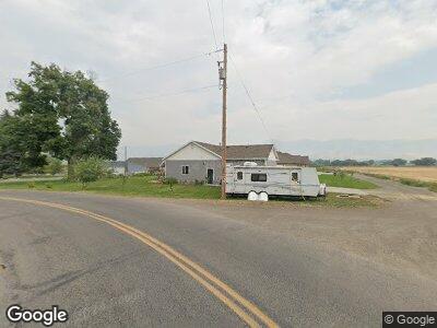
1991 W 5400 N Smithfield, UT 84335
Estimated Value: $514,000 - $724,000
--
Bed
--
Bath
1,450
Sq Ft
$405/Sq Ft
Est. Value
About This Home
This home is located at 1991 W 5400 N, Smithfield, UT 84335 and is currently estimated at $587,366, approximately $405 per square foot. 1991 W 5400 N is a home with nearby schools including Birch Creek School, Cedar Ridge School, and Cedar Ridge Middle School.
Ownership History
Date
Name
Owned For
Owner Type
Purchase Details
Closed on
May 9, 2014
Sold by
Toombs Jerry Marlin and Toombs Elizabeth S
Bought by
Low Chad and Low Melissa
Current Estimated Value
Home Financials for this Owner
Home Financials are based on the most recent Mortgage that was taken out on this home.
Original Mortgage
$186,000
Interest Rate
4.25%
Mortgage Type
Construction
Purchase Details
Closed on
May 3, 2014
Sold by
Toombs Jerry Marlin and Toombs Elizabeth S
Bought by
Low Chad and Low Melissa
Home Financials for this Owner
Home Financials are based on the most recent Mortgage that was taken out on this home.
Original Mortgage
$186,000
Interest Rate
4.25%
Mortgage Type
Construction
Create a Home Valuation Report for This Property
The Home Valuation Report is an in-depth analysis detailing your home's value as well as a comparison with similar homes in the area
Home Values in the Area
Average Home Value in this Area
Purchase History
| Date | Buyer | Sale Price | Title Company |
|---|---|---|---|
| Low Chad | -- | American Secure Title |
Source: Public Records
Mortgage History
| Date | Status | Borrower | Loan Amount |
|---|---|---|---|
| Open | Low Chad | $184,000 | |
| Closed | Low Chad | $191,300 | |
| Closed | Low Chad | $186,000 |
Source: Public Records
Tax History Compared to Growth
Tax History
| Year | Tax Paid | Tax Assessment Tax Assessment Total Assessment is a certain percentage of the fair market value that is determined by local assessors to be the total taxable value of land and additions on the property. | Land | Improvement |
|---|---|---|---|---|
| 2024 | $2,124 | $321,305 | $0 | $0 |
| 2023 | $2,266 | $320,585 | $0 | $0 |
| 2022 | $2,371 | $320,585 | $0 | $0 |
| 2021 | $162 | $337,546 | $65,580 | $271,966 |
| 2020 | $1,536 | $302,073 | $65,580 | $236,493 |
| 2019 | $1,554 | $288,993 | $52,500 | $236,493 |
| 2018 | $1,458 | $263,655 | $52,500 | $211,155 |
| 2017 | $1,465 | $139,480 | $0 | $0 |
| 2016 | $1,483 | $124,300 | $0 | $0 |
| 2015 | $1,318 | $124,300 | $0 | $0 |
| 2014 | $537 | $52,200 | $0 | $0 |
| 2013 | -- | $52,200 | $0 | $0 |
Source: Public Records
Map
Nearby Homes
- 1991 W 5400 N
- 1983 W 5400 N
- 2005 W 5400 N
- 5490 N 2000 W
- 1975 W 5400 N
- 2026 W 5400 N
- 2055 W 5400 N
- 2065 W 5400 N
- 5650 N 2000 W
- 2151 W 5400 N
- 2159 W 5400 N
- 2220 W 5400 N
- 663 W 575 N Unit 551
- 651 W 575 N Unit 549
- 663 W 575 N
- 675 W 575 N
- 2297 W 5400 N
- 2307 W 5400 N
- 3105 W 225 S Unit 2934768-45403
- 3105 W 225 S Unit 2934769-45403