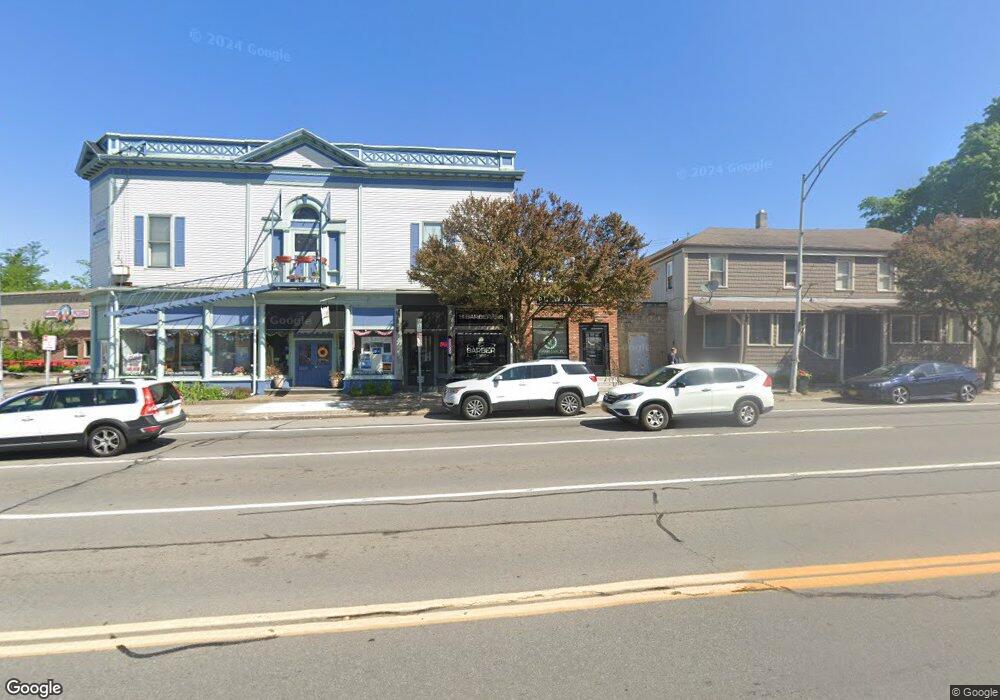
1992 Frpt 9 Mi Pt Rd Unit FRPT Penfield, NY 14526
Estimated Value: $424,000 - $520,000
3
Beds
3
Baths
1,983
Sq Ft
$235/Sq Ft
Est. Value
About This Home
This home is located at 1992 Frpt 9 Mi Pt Rd Unit FRPT, Penfield, NY 14526 and is currently estimated at $465,583, approximately $234 per square foot. 1992 Frpt 9 Mi Pt Rd Unit FRPT is a home located in Monroe County with nearby schools including Bay Trail Middle School, Penfield Senior High School, and Southeast Christian Academy.
Ownership History
Date
Name
Owned For
Owner Type
Purchase Details
Closed on
Jan 4, 2024
Sold by
Depta Carolyn
Bought by
Mosher William A and Mosher William A
Current Estimated Value
Purchase Details
Closed on
Aug 13, 2019
Sold by
Santo Nadine
Bought by
Depta Carolyn
Purchase Details
Closed on
Apr 30, 2009
Sold by
Santo Phyllis A
Bought by
Santo Nadine
Home Financials for this Owner
Home Financials are based on the most recent Mortgage that was taken out on this home.
Original Mortgage
$120,000
Interest Rate
4.86%
Mortgage Type
New Conventional
Create a Home Valuation Report for This Property
The Home Valuation Report is an in-depth analysis detailing your home's value as well as a comparison with similar homes in the area
Home Values in the Area
Average Home Value in this Area
Purchase History
| Date | Buyer | Sale Price | Title Company |
|---|---|---|---|
| Mosher William A | -- | None Listed On Document | |
| Depta Family Trust | -- | None Listed On Document | |
| Depta Carolyn | $285,000 | None Available | |
| Santo Nadine | $150,000 | None Available |
Source: Public Records
Mortgage History
| Date | Status | Borrower | Loan Amount |
|---|---|---|---|
| Previous Owner | Santo Nadine | $120,000 |
Source: Public Records
Tax History Compared to Growth
Tax History
| Year | Tax Paid | Tax Assessment Tax Assessment Total Assessment is a certain percentage of the fair market value that is determined by local assessors to be the total taxable value of land and additions on the property. | Land | Improvement |
|---|---|---|---|---|
| 2024 | $10,025 | $329,800 | $70,900 | $258,900 |
| 2023 | $9,998 | $329,800 | $70,900 | $258,900 |
| 2022 | $6,695 | $329,800 | $70,900 | $258,900 |
| 2021 | $6,550 | $159,700 | $52,800 | $106,900 |
| 2020 | $6,433 | $154,400 | $52,800 | $101,600 |
| 2019 | $5,270 | $154,400 | $52,800 | $101,600 |
| 2018 | $5,380 | $154,400 | $52,800 | $101,600 |
| 2017 | $5,261 | $154,400 | $52,800 | $101,600 |
| 2016 | $5,270 | $154,400 | $52,800 | $101,600 |
| 2015 | -- | $154,400 | $52,800 | $101,600 |
| 2014 | -- | $154,400 | $52,800 | $101,600 |
Source: Public Records
Map
Nearby Homes
- 1988 Frpt 9 Mi Pt Rd Unit FRPT
- 2004 Fairport Nine Mile Point Rd Unit FRPT
- 2004 Fairport Nine Mile Point Rd
- 2004 Frpt 9 Mi Pt Rd Unit FRPT
- 2004 Nine Mile Point Rd
- 2008 Frpt 9 Mi Pt Rd Unit FRPT
- 2008 Fairport Nine Mile Point Rd Unit FRPT
- 1984 Frpt 9 Mi Pt Rd Unit FRPT
- 2012 Frpt 9 Mi Pt Rd Unit FRPT
- 1980 Nine Mile Point Rd Unit FRPT
- 2013 Frpt 9 Mi Pt Rd Unit FRPT
- 1976 Fairport Nine Mile Point Rd Unit FRPT
- 64 Timber Glen Trail
- 46 Random Knolls Dr
- 48 Random Knolls Dr
- 61 Timber Glen Trail
- 2017 Frpt 9 Mi Pt Rd Unit FRPT
- 50 Random Knolls Dr
- 44 Random Knolls Dr
- 1972 Fairport Nine Mile Point Rd Unit FRPT