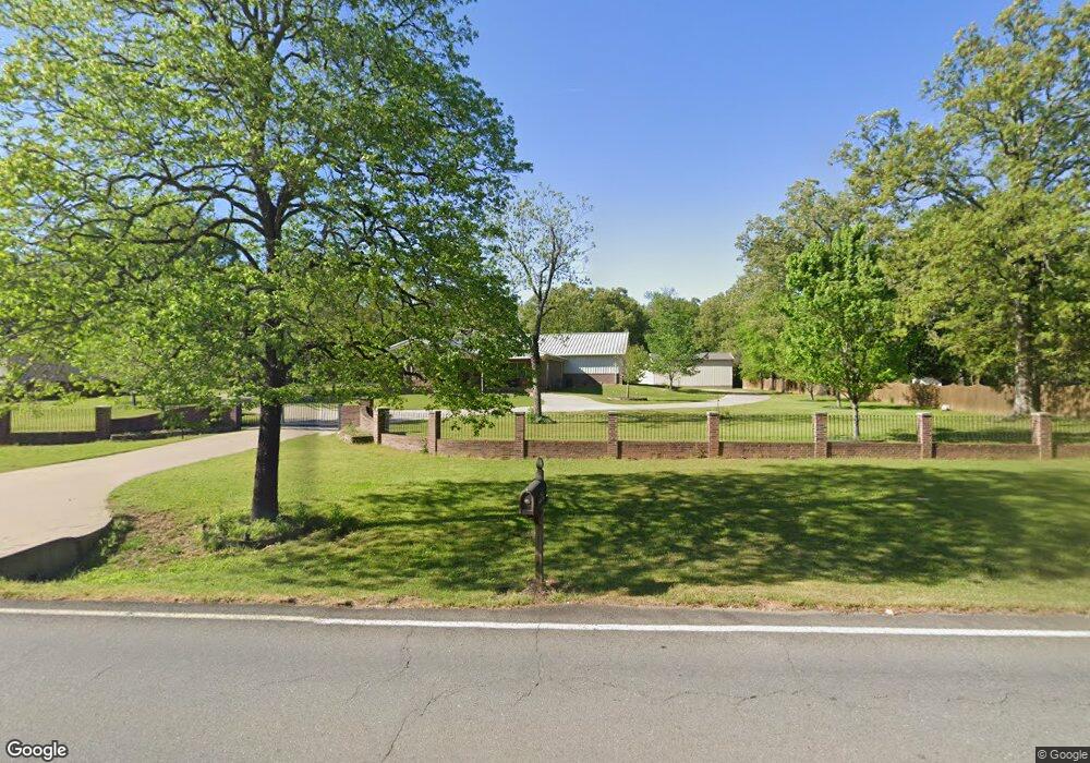
1992 Salem Rd Benton, AR 72019
Salem NeighborhoodEstimated Value: $348,000 - $1,025,000
--
Bed
1
Bath
1,710
Sq Ft
$333/Sq Ft
Est. Value
About This Home
This home is located at 1992 Salem Rd, Benton, AR 72019 and is currently estimated at $569,937, approximately $333 per square foot. 1992 Salem Rd is a home with nearby schools including Salem Elementary School, Bethel Middle School, and Bryant Middle School.
Ownership History
Date
Name
Owned For
Owner Type
Purchase Details
Closed on
Jul 9, 2009
Sold by
Morrison Jackson D and Morrison Dixie
Bought by
Skelley Larry
Current Estimated Value
Purchase Details
Closed on
Dec 29, 2004
Sold by
Pyle Dan C and Pyle Michelle Ann
Bought by
Morrison Jackson D
Home Financials for this Owner
Home Financials are based on the most recent Mortgage that was taken out on this home.
Original Mortgage
$87,428
Interest Rate
5.74%
Mortgage Type
FHA
Create a Home Valuation Report for This Property
The Home Valuation Report is an in-depth analysis detailing your home's value as well as a comparison with similar homes in the area
Home Values in the Area
Average Home Value in this Area
Purchase History
| Date | Buyer | Sale Price | Title Company |
|---|---|---|---|
| Skelley Larry | $30,000 | -- | |
| Morrison Jackson D | $89,000 | -- | |
| Morrison Jackson D | $89,000 | -- |
Source: Public Records
Mortgage History
| Date | Status | Borrower | Loan Amount |
|---|---|---|---|
| Previous Owner | Morrison Jackson D | $87,428 |
Source: Public Records
Tax History Compared to Growth
Tax History
| Year | Tax Paid | Tax Assessment Tax Assessment Total Assessment is a certain percentage of the fair market value that is determined by local assessors to be the total taxable value of land and additions on the property. | Land | Improvement |
|---|---|---|---|---|
| 2025 | $2,670 | $89,203 | $10,660 | $78,543 |
| 2024 | $2,490 | $89,203 | $10,660 | $78,543 |
| 2023 | $2,490 | $89,203 | $10,660 | $78,543 |
| 2022 | $2,395 | $89,203 | $10,660 | $78,543 |
| 2021 | $2,406 | $62,020 | $4,800 | $57,220 |
| 2020 | $2,356 | $62,020 | $4,800 | $57,220 |
| 2019 | $2,356 | $62,020 | $4,800 | $57,220 |
| 2018 | $2,381 | $62,020 | $4,800 | $57,220 |
| 2017 | $2,381 | $62,020 | $4,800 | $57,220 |
| 2016 | $2,490 | $60,460 | $4,800 | $55,660 |
| 2015 | $2,190 | $60,460 | $4,800 | $55,660 |
| 2014 | $2,190 | $53,090 | $4,800 | $48,290 |
Source: Public Records
Map
Nearby Homes
- 7613 Carrie Dr
- 6869 Hilo Ave
- 6865 Hilo Ave
- 6856 Hilo Ave
- 7890 Carrie Dr
- 6756 Hilo Ave
- 7925 Cindy Dr
- 7046 Westshore Ave
- 6833 Hilo Ave
- 6724 Hilo Ave
- 000 Salem Rd
- 6524 Westminster
- 2025 Seven Gables
- 7160 Moon View Place
- 1810 White Oak Cir
- 1109 Essex Dr
- 2540 Lakeside Dr
- 1121 Essex Dr
- 8500 Hart Rd
- 1756 White Oak Ln