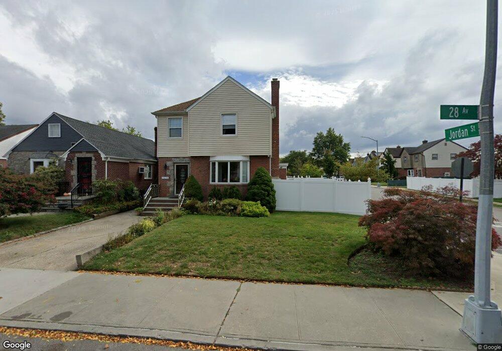
19922 28th Ave Flushing, NY 11358
Auburndale NeighborhoodEstimated Value: $1,011,224 - $1,108,000
Studio
--
Bath
1,380
Sq Ft
$773/Sq Ft
Est. Value
About This Home
This home is located at 19922 28th Ave, Flushing, NY 11358 and is currently estimated at $1,066,556, approximately $772 per square foot. 19922 28th Ave is a home located in Queens County with nearby schools including P.S. 159 Queens, I.S. 25 Adrien Block, and Bayside High School.
Ownership History
Date
Name
Owned For
Owner Type
Purchase Details
Closed on
May 21, 2021
Sold by
Miltakis Chester and Miltakis Diane
Bought by
Miltakis Diane and Mussalli Andrew P
Current Estimated Value
Purchase Details
Closed on
Jul 18, 2000
Sold by
The Martin Ban Revocable Trust and Sinovcic Helena
Bought by
Mussalli Andrew Paul and Miltakis Diane
Create a Home Valuation Report for This Property
The Home Valuation Report is an in-depth analysis detailing your home's value as well as a comparison with similar homes in the area
Home Values in the Area
Average Home Value in this Area
Purchase History
| Date | Buyer | Sale Price | Title Company |
|---|---|---|---|
| Miltakis Diane | -- | -- | |
| Mussalli Andrew Paul | $378,000 | Regal Title |
Source: Public Records
Tax History
| Year | Tax Paid | Tax Assessment Tax Assessment Total Assessment is a certain percentage of the fair market value that is determined by local assessors to be the total taxable value of land and additions on the property. | Land | Improvement |
|---|---|---|---|---|
| 2025 | $10,535 | $53,638 | $13,652 | $39,986 |
| 2024 | $10,535 | $52,454 | $13,781 | $38,673 |
| 2023 | $10,017 | $49,872 | $13,240 | $36,632 |
| 2022 | $8,081 | $56,280 | $15,180 | $41,100 |
| 2021 | $9,114 | $59,160 | $15,180 | $43,980 |
| 2020 | $9,165 | $58,140 | $15,180 | $42,960 |
| 2019 | $8,851 | $57,900 | $15,180 | $42,720 |
| 2018 | $8,174 | $41,560 | $12,901 | $28,659 |
| 2017 | $7,734 | $39,412 | $12,265 | $27,147 |
| 2016 | $7,139 | $39,412 | $12,265 | $27,147 |
| 2015 | $4,265 | $37,248 | $13,523 | $23,725 |
| 2014 | $4,265 | $36,427 | $13,433 | $22,994 |
Source: Public Records
Map
Nearby Homes
- 28-07 172nd St
- 201-05 28th Ave
- 2623 Utopia Pkwy
- 32-19 Jordan St
- 199-27 26th Ave
- 200-33 26th Ave
- 2952 172nd St
- 29-31 170th St
- 3227 202nd St
- 29 Avenue
- 27-25 168th St
- 3226 204th St
- 20124 24th Ave
- 20206 33rd Ave
- 29-37 168th St
- 2801 206th St
- 2533 Francis Lewis Blvd
- 3314 204th St
- 34-12 192nd St
- 25-26 Bayside Ln
- 19926 28th Ave
- 2811 Jordan St
- 19930 28th Ave
- 19914 28th Ave
- 2815 Jordan St
- 28-15 Jordan St Unit 104M
- 19934 28th Ave
- 28-24 Jordan St
- 199-14 Jordan St
- 19910 28th Ave
- 2819 Jordan St
- 2814 200th St
- 28-32 Jordan St
- 2816 Jordan St
- 19908 28th Ave
- 19938 28th Ave
- 2818 200th St
- 2820 Jordan St
- 28-18 200th St
- 2823 Jordan St
Your Personal Tour Guide
Ask me questions while you tour the home.