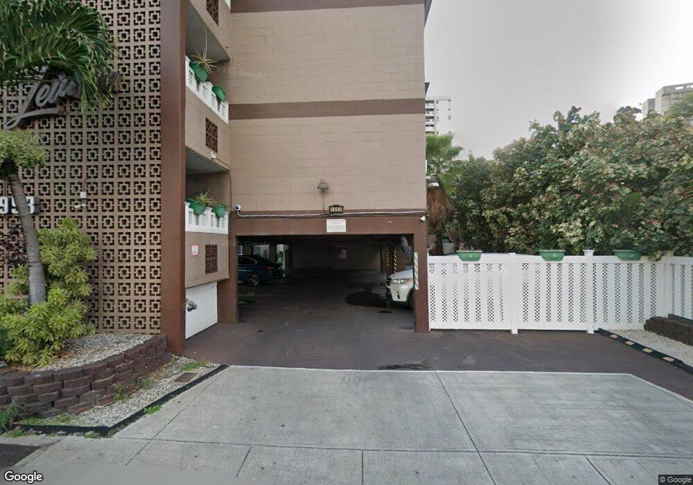
1993 Ala Wai Blvd Unit 201 Honolulu, HI 96815
Waikiki NeighborhoodEstimated Value: $4,566,000
1
Bed
1
Bath
4,350
Sq Ft
$1,050/Sq Ft
Est. Value
About This Home
This home is located at 1993 Ala Wai Blvd Unit 201, Honolulu, HI 96815 and is currently estimated at $4,566,000, approximately $1,049 per square foot. 1993 Ala Wai Blvd Unit 201 is a home located in Honolulu County with nearby schools including Ala Wai Elementary School, President George Washington Middle School, and Kaimuki High School.
Ownership History
Date
Name
Owned For
Owner Type
Purchase Details
Closed on
Nov 8, 2021
Sold by
Ariali Realty Inc
Bought by
Wu Family Properties Llc
Current Estimated Value
Purchase Details
Closed on
Jun 21, 2010
Sold by
Ferguson John R
Bought by
Ariali Realty Inc
Home Financials for this Owner
Home Financials are based on the most recent Mortgage that was taken out on this home.
Original Mortgage
$500,000
Interest Rate
4.31%
Mortgage Type
Seller Take Back
Purchase Details
Closed on
May 20, 2005
Sold by
1118 Howard Street Lp
Bought by
Ferguson John Raymond and Ferguson Deborah Olivia
Home Financials for this Owner
Home Financials are based on the most recent Mortgage that was taken out on this home.
Original Mortgage
$1,435,000
Interest Rate
5.84%
Mortgage Type
Commercial
Purchase Details
Closed on
Feb 6, 2002
Sold by
Lum Ernest Keong Fat
Bought by
1118 Howard Street Lp
Home Financials for this Owner
Home Financials are based on the most recent Mortgage that was taken out on this home.
Original Mortgage
$700,000
Interest Rate
7.15%
Mortgage Type
Commercial
Purchase Details
Closed on
May 3, 2001
Sold by
Yogi Patricia Meu Kuen and Kop Steven Kai Cheong
Bought by
Lum Ernest Keong Fat
Home Financials for this Owner
Home Financials are based on the most recent Mortgage that was taken out on this home.
Original Mortgage
$525,000
Interest Rate
6.89%
Mortgage Type
Commercial
Create a Home Valuation Report for This Property
The Home Valuation Report is an in-depth analysis detailing your home's value as well as a comparison with similar homes in the area
Home Values in the Area
Average Home Value in this Area
Purchase History
| Date | Buyer | Sale Price | Title Company |
|---|---|---|---|
| Wu Family Properties Llc | $5,750,000 | Old Republic Title | |
| Wu Family Properties Llc | $5,750,000 | Or | |
| Ariali Realty Inc | $3,100,000 | Or | |
| Ferguson John Raymond | $2,050,000 | -- | |
| 1118 Howard Street Lp | $1,060,000 | Security Title Corporation | |
| Lum Ernest Keong Fat | $775,000 | Security Title Corporation | |
| Yogi Patricia Meu Kuen | $1,600,000 | Security Title Corporation |
Source: Public Records
Mortgage History
| Date | Status | Borrower | Loan Amount |
|---|---|---|---|
| Previous Owner | Ariali Realty Inc | $500,000 | |
| Previous Owner | Ferguson John Raymond | $1,435,000 | |
| Previous Owner | 1118 Howard Street Lp | $700,000 | |
| Previous Owner | Yogi Patricia Meu Kuen | $525,000 | |
| Previous Owner | Lum Ernest Keong Fat | $580,000 | |
| Closed | 1118 Howard Street Lp | $200,000 | |
| Closed | Ferguson John Raymond | $150,000 |
Source: Public Records
Tax History Compared to Growth
Tax History
| Year | Tax Paid | Tax Assessment Tax Assessment Total Assessment is a certain percentage of the fair market value that is determined by local assessors to be the total taxable value of land and additions on the property. | Land | Improvement |
|---|---|---|---|---|
| 2025 | $9,871 | $2,840,600 | $1,688,100 | $1,152,500 |
| 2024 | $9,871 | $2,820,400 | $1,688,100 | $1,132,300 |
| 2023 | $9,741 | $2,783,000 | $1,665,000 | $1,118,000 |
| 2022 | $4,282 | $2,493,500 | $1,618,800 | $874,700 |
| 2021 | $8,891 | $2,540,200 | $1,618,800 | $921,400 |
| 2020 | $8,771 | $2,506,000 | $1,526,300 | $979,700 |
| 2019 | $8,505 | $2,472,800 | $1,480,000 | $992,800 |
| 2018 | $8,505 | $2,429,900 | $1,456,900 | $973,000 |
| 2017 | $7,923 | $2,263,800 | $1,387,500 | $876,300 |
| 2016 | $7,513 | $2,146,700 | $1,271,900 | $874,800 |
| 2015 | $6,489 | $1,854,000 | $1,199,400 | $654,600 |
| 2014 | -- | $1,801,300 | $1,151,400 | $649,900 |
Source: Public Records
Map
Nearby Homes
- 439 Keoniana St Unit 1205
- 439 Keoniana St Unit 503
- 2015 Ala Wai Blvd Unit 8A
- 454 Kuamoo St
- 419 Pau St
- 430 Keoniana St Unit 104
- 430 Keoniana St Unit 114
- 430 Keoniana St Unit 204
- 430 Keoniana St Unit 202
- 430 Keoniana St Unit 603
- 430 Keoniana St Unit 1002
- 430 Keoniana St Unit 1010
- 430 Keoniana St Unit 1210
- 448 Kuamoo St
- 419 Keoniana St Unit 604
- 419 Keoniana St Unit 1003
- 2029 Ala Wai Blvd Unit 304
- 444 Niu St Unit 2513
- 444 Niu St Unit 1503
- 444 Niu St Unit 911
- 1993 Ala Wai Blvd Unit 301
- 1993 Ala Wai Blvd Unit 205
- 1993 Ala Wai Blvd Unit 202
- 1993 Ala Wai Blvd Unit 401
- 1993 Ala Wai Blvd Unit 403
- 1993 Ala Wai Blvd Unit 101
- 1993 Ala Wai Blvd Unit 302
- 1993 Ala Wai Blvd Unit 405
- 1993 Ala Wai Blvd
- 1993 Ala Wai Blvd Unit 205
- 1999 Ala Wai Blvd
- 448 Keoniana St
- 1965 Ala Wai Blvd Unit 1
- 1965 Ala Wai Blvd Unit 5
- 1965 Ala Wai Blvd
- 441 Pa?u St Unit 103
- 441 Pa?u St Unit 111
- 441 Pa?u St
- 441 Pau St
- 444 Keoniana St