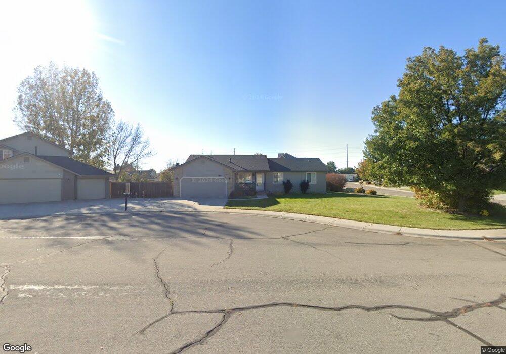
1993 S Peppercorn Place Boise, ID 83709
Southwest Boise NeighborhoodEstimated Value: $475,000 - $526,000
4
Beds
3
Baths
2,024
Sq Ft
$248/Sq Ft
Est. Value
About This Home
This home is located at 1993 S Peppercorn Place, Boise, ID 83709 and is currently estimated at $501,194, approximately $247 per square foot. 1993 S Peppercorn Place is a home located in Ada County with nearby schools including Pepper Ridge Elementary, Lewis & Clark Middle School, and Centennial High School.
Ownership History
Date
Name
Owned For
Owner Type
Purchase Details
Closed on
May 7, 2019
Sold by
Caruso Stephanie A and Caruso Stephanie Ann
Bought by
Caruso Stephanie A
Current Estimated Value
Home Financials for this Owner
Home Financials are based on the most recent Mortgage that was taken out on this home.
Original Mortgage
$208,587
Interest Rate
4%
Mortgage Type
FHA
Purchase Details
Closed on
Jul 5, 2017
Sold by
Caruso Brenda Allan
Bought by
Caruso Stephanie Ann
Create a Home Valuation Report for This Property
The Home Valuation Report is an in-depth analysis detailing your home's value as well as a comparison with similar homes in the area
Home Values in the Area
Average Home Value in this Area
Purchase History
| Date | Buyer | Sale Price | Title Company |
|---|---|---|---|
| Caruso Stephanie A | -- | Alliance Ttl Boise Productio | |
| Caruso Stephanie Ann | -- | None Available |
Source: Public Records
Mortgage History
| Date | Status | Borrower | Loan Amount |
|---|---|---|---|
| Closed | Caruso Stephanie A | $208,587 |
Source: Public Records
Tax History Compared to Growth
Tax History
| Year | Tax Paid | Tax Assessment Tax Assessment Total Assessment is a certain percentage of the fair market value that is determined by local assessors to be the total taxable value of land and additions on the property. | Land | Improvement |
|---|---|---|---|---|
| 2025 | $2,109 | $472,200 | -- | -- |
| 2024 | $2,007 | $444,100 | -- | -- |
| 2023 | $2,007 | $413,400 | $0 | $0 |
| 2022 | $2,629 | $514,600 | $0 | $0 |
| 2021 | $2,296 | $387,000 | $0 | $0 |
| 2020 | $2,014 | $302,200 | $0 | $0 |
| 2019 | $2,503 | $295,500 | $0 | $0 |
| 2018 | $2,148 | $251,300 | $0 | $0 |
| 2017 | $2,040 | $234,400 | $0 | $0 |
| 2016 | $1,903 | $217,100 | $0 | $0 |
| 2015 | $1,900 | $202,400 | $0 | $0 |
| 2012 | -- | $141,800 | $0 | $0 |
Source: Public Records
Map
Nearby Homes
- 12158 W Silverking Ct
- 11899 W Blueberry Ct
- 2359 S Rushmore Ct
- 4498 E Goldstone Dr
- 4535 E Copper Point Dr
- 11712 W Annalee Ln
- 2476 S Amaya Ln
- 11505 W Baserri Dr
- 4140 E Goldstone Dr
- 11714 W Tioga St
- 4187 E Blueberry St
- 2802 S Heritage Ave
- 4216 Woodmurra St
- 4132 E Silverking Ln
- 4202 Woodmurra St
- 2029 S Wilde Creek Way
- 2679 S Tristram Way
- 2927 S Goshen Way
- 12152 W Lewisburg Ct
- 3019 S Goshen Way
- 12063 W Harvester Ct
- 2001 S Peppercorn Place
- 12024 W Harvester Ct
- 12050 W Tio Leo Ct
- 12064 W Harvester Ct
- 12081 W Harvester Ct
- 2008 S Peppercorn Place
- 1992 S Peppercorn Place
- 12026 W Tio Leo Ct
- 12074 W Tio Leo Ct
- 2000 S Peppercorn Place
- 12082 W Harvester Ct
- 1976 S Peppercorn Place
- 12012 W Tio Leo Ct
- 12099 W Harvester Ct
- 12098 W Tio Leo Ct
- 2033 S Sumpter Way
- 1968 S Peppercorn Place
- 1945 S Peppercorn Place
- 2045 S Sumpter Way