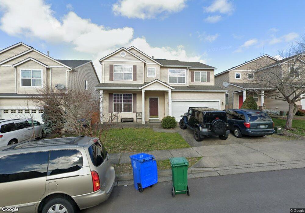
1993 SW 33rd St Gresham, OR 97080
Southwest Gresham NeighborhoodEstimated Value: $550,000 - $582,000
Studio
3
Baths
2,590
Sq Ft
$218/Sq Ft
Est. Value
About This Home
This home is located at 1993 SW 33rd St, Gresham, OR 97080 and is currently estimated at $564,334, approximately $217 per square foot. 1993 SW 33rd St is a home located in Multnomah County with nearby schools including Butler Creek Elementary School, Centennial Middle School, and Centennial High School.
Ownership History
Date
Name
Owned For
Owner Type
Purchase Details
Closed on
Sep 4, 2008
Sold by
Auchu Laifong
Bought by
Auchu Laifong and Au James
Current Estimated Value
Purchase Details
Closed on
Jan 27, 2005
Sold by
Centex Homes
Bought by
Au Shekkan and Auchu Lai Fong
Home Financials for this Owner
Home Financials are based on the most recent Mortgage that was taken out on this home.
Original Mortgage
$200,000
Interest Rate
5.67%
Mortgage Type
Purchase Money Mortgage
Create a Home Valuation Report for This Property
The Home Valuation Report is an in-depth analysis detailing your home's value as well as a comparison with similar homes in the area
Home Values in the Area
Average Home Value in this Area
Purchase History
| Date | Buyer | Sale Price | Title Company |
|---|---|---|---|
| Auchu Laifong | -- | None Available | |
| Au Shekkan | $258,274 | First American |
Source: Public Records
Mortgage History
| Date | Status | Borrower | Loan Amount |
|---|---|---|---|
| Closed | Au Shekkan | $200,000 |
Source: Public Records
Tax History
| Year | Tax Paid | Tax Assessment Tax Assessment Total Assessment is a certain percentage of the fair market value that is determined by local assessors to be the total taxable value of land and additions on the property. | Land | Improvement |
|---|---|---|---|---|
| 2025 | $6,133 | $323,870 | -- | -- |
| 2024 | $5,874 | $314,440 | -- | -- |
| 2023 | $5,874 | $305,290 | -- | -- |
| 2022 | $5,094 | $296,400 | $0 | $0 |
| 2021 | $5,113 | $287,770 | $0 | $0 |
| 2020 | $4,707 | $279,390 | $0 | $0 |
| 2019 | $4,593 | $271,260 | $0 | $0 |
| 2018 | $4,405 | $263,360 | $0 | $0 |
| 2017 | $4,258 | $255,690 | $0 | $0 |
| 2016 | $4,133 | $248,250 | $0 | $0 |
| 2015 | $4,022 | $241,020 | $0 | $0 |
| 2014 | $3,911 | $234,000 | $0 | $0 |
Source: Public Records
Map
Nearby Homes
- 3120 SW Orchard Place
- 2160 SW 26th St
- 3506 SW Battaglia Ave
- 3512 SW Battaglia Ave
- 3536 SW Battaglia Ave
- 3558 SW Battaglia Ave
- 1320 SW 31st St
- 3582 SW Battaglia Ave
- 3604 SW Battaglia Ave
- 3503 SW Battaglia Ave
- 3644 SW Battaglia Ave
- 3539 SW Battaglia Ave
- 3510 SW Binford Ave
- 3542 SW Binford Ave
- 3650 SW Binford Ave
- 1278 SW 27th Ct
- 2520 SW Towle Ave
- 4081 SW Binford Ave
- 3544 SW Tegart Ln
- 3947 SW Brixton Ave
- 1961 SW 33rd St
- 2019 SW 33rd St
- 1937 SW 33rd St
- 2033 SW 33rd St
- 2010 SW Willow Pkwy
- 2024 SW Willow Pkwy
- 2002 SW Willow Pkwy
- 1929 SW 33rd St
- 2057 SW 33rd St
- 1986 SW 33rd St
- 2018 SW 33rd St
- 1958 SW 33rd St
- 2032 SW 33rd St
- 2036 SW Willow Pkwy
- 1903 SW 33rd St
- 1934 SW 33rd St
- 2071 SW 33rd St
- 1990 SW Willow Pkwy
- 2054 SW 33rd St
- 2070 SW 33rd (25 - 2811) St
Your Personal Tour Guide
Ask me questions while you tour the home.