1994 215th St Muscatine, IA 52761
Estimated Value: $237,000 - $349,000
3
Beds
3
Baths
902
Sq Ft
$307/Sq Ft
Est. Value
About This Home
This home is located at 1994 215th St, Muscatine, IA 52761 and is currently estimated at $276,612, approximately $306 per square foot. 1994 215th St is a home with nearby schools including McKinley Elementary School, Susan Clark Junior High School, and Muscatine High School.
Create a Home Valuation Report for This Property
The Home Valuation Report is an in-depth analysis detailing your home's value as well as a comparison with similar homes in the area
Home Values in the Area
Average Home Value in this Area
Tax History Compared to Growth
Tax History
| Year | Tax Paid | Tax Assessment Tax Assessment Total Assessment is a certain percentage of the fair market value that is determined by local assessors to be the total taxable value of land and additions on the property. | Land | Improvement |
|---|---|---|---|---|
| 2025 | $2,622 | $216,780 | $25,760 | $191,020 |
| 2024 | $2,622 | $215,560 | $25,760 | $189,800 |
| 2023 | $2,564 | $219,166 | $25,758 | $193,408 |
| 2022 | $2,008 | $171,660 | $24,300 | $147,360 |
| 2021 | $2,008 | $146,200 | $20,250 | $125,950 |
| 2020 | $1,994 | $138,700 | $16,160 | $122,540 |
| 2019 | $1,968 | $129,080 | $0 | $0 |
| 2018 | $1,924 | $129,080 | $0 | $0 |
| 2017 | $1,998 | $129,080 | $0 | $0 |
| 2016 | $2,024 | $129,080 | $0 | $0 |
| 2015 | $2,024 | $128,450 | $0 | $0 |
| 2014 | $2,032 | $128,450 | $0 | $0 |
Source: Public Records
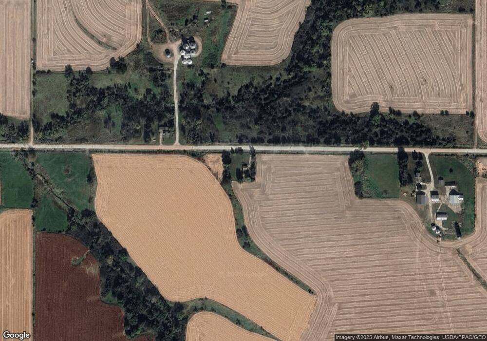
Map
Nearby Homes
- 2207 231st St
- 1824 Keokuk Ave
- 0 Grandview Ave Parcels Unit 25-533
- LOT 4 Fridley Subdivision
- 0 Iron City Ave
- 3120 Linden Ln
- 3103 Ginkgo Ln
- 1507 Duncan Dr
- 1410 Duncan Dr
- 1416 Duncan Dr
- 5407 Reynolds Ave
- 1604 Duncan Dr
- 3010 W Fulliam Ave
- 2461 Bobwhite Dr
- CEDAR Plaza Parcel
- LOT 6 Fridley Subdivision
- 2018 W Bay Dr